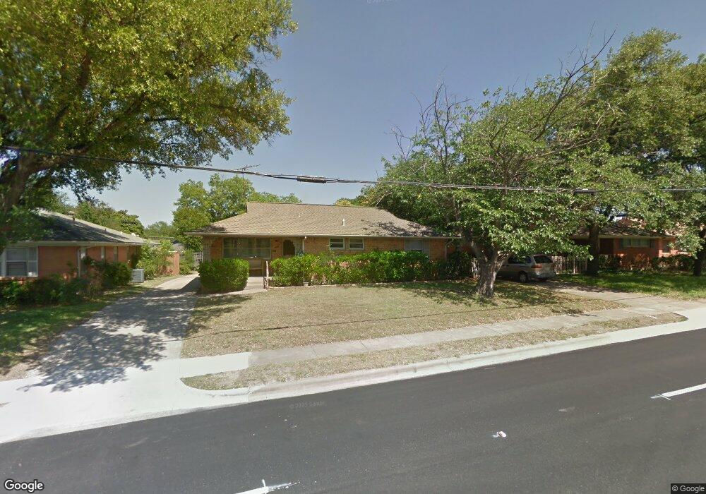
4442 Abrams Rd Dallas, TX 75214
Northeast Dallas NeighborhoodEstimated Value: $581,456 - $613,000
3
Beds
2
Baths
1,475
Sq Ft
$405/Sq Ft
Est. Value
About This Home
This home is located at 4442 Abrams Rd, Dallas, TX 75214 and is currently estimated at $597,364, approximately $404 per square foot. 4442 Abrams Rd is a home located in Dallas County with nearby schools including Lakewood Elementary School, J L Long Middle School, and Woodrow Wilson High School.
Ownership History
Date
Name
Owned For
Owner Type
Purchase Details
Closed on
Jul 26, 2010
Sold by
Perez Carlos Alberto
Bought by
Padilla Carlos Perez
Current Estimated Value
Purchase Details
Closed on
Dec 19, 2002
Sold by
Orozco Michael and Orozco Mayra A
Bought by
Padilla Carlos Perez and Perez Carlos Alberto
Home Financials for this Owner
Home Financials are based on the most recent Mortgage that was taken out on this home.
Original Mortgage
$128,981
Outstanding Balance
$54,006
Interest Rate
5.89%
Mortgage Type
FHA
Estimated Equity
$543,358
Purchase Details
Closed on
Mar 8, 1999
Sold by
Orozco Richard
Bought by
Orozco Michael A
Purchase Details
Closed on
Nov 22, 1996
Sold by
Jordan Joanna
Bought by
Orozco Michael A and Orozco Richard
Home Financials for this Owner
Home Financials are based on the most recent Mortgage that was taken out on this home.
Original Mortgage
$76,278
Interest Rate
7.77%
Mortgage Type
FHA
Create a Home Valuation Report for This Property
The Home Valuation Report is an in-depth analysis detailing your home's value as well as a comparison with similar homes in the area
Home Values in the Area
Average Home Value in this Area
Purchase History
| Date | Buyer | Sale Price | Title Company |
|---|---|---|---|
| Padilla Carlos Perez | -- | None Available | |
| Padilla Carlos Perez | -- | -- | |
| Orozco Michael A | -- | -- | |
| Orozco Michael A | -- | -- |
Source: Public Records
Mortgage History
| Date | Status | Borrower | Loan Amount |
|---|---|---|---|
| Open | Padilla Carlos Perez | $128,981 | |
| Previous Owner | Orozco Michael A | $76,278 |
Source: Public Records
Tax History Compared to Growth
Tax History
| Year | Tax Paid | Tax Assessment Tax Assessment Total Assessment is a certain percentage of the fair market value that is determined by local assessors to be the total taxable value of land and additions on the property. | Land | Improvement |
|---|---|---|---|---|
| 2025 | $3,512 | $573,890 | $316,260 | $257,630 |
| 2024 | $3,512 | $515,430 | $253,010 | $262,420 |
| 2023 | $3,512 | $456,030 | $189,760 | $266,270 |
| 2022 | $9,383 | $375,280 | $189,760 | $185,520 |
| 2021 | $7,993 | $303,000 | $126,500 | $176,500 |
| 2020 | $8,220 | $303,000 | $126,500 | $176,500 |
| 2019 | $9,179 | $322,610 | $126,500 | $196,110 |
| 2018 | $8,427 | $309,900 | $126,500 | $183,400 |
| 2017 | $7,563 | $278,110 | $126,500 | $151,610 |
| 2016 | $7,563 | $278,110 | $126,500 | $151,610 |
| 2015 | $5,053 | $243,290 | $94,500 | $148,790 |
| 2014 | $5,053 | $225,850 | $70,000 | $155,850 |
Source: Public Records
Map
Nearby Homes
- 6446 Lange Cir
- 6314 Woodcrest Ln
- 6269 Saratoga Cir
- 6474 Sudbury Dr
- 6459 Trammel Dr
- 6231 Berwyn Ln
- 6537 Patrick Dr
- 6415 Axton Ln
- 6529 Saint Moritz Ave
- 6305 Annapolis Ln
- 6529 Trammel Dr
- 6171 Ravendale Ln
- 4323 Ashford Dr
- 6612 E Mockingbird Ln
- 6527 Axton Cir
- 6222 E University Blvd
- 6720 Braeburn Dr
- 6126 Sudbury Dr
- 6342 Anita St
- 6711 Vada Dr
- 4436 Abrams Rd
- 6404 Lange Cir
- 4430 Abrams Rd
- 4437 Springside Ln
- 4433 Springside Ln
- 4443 Springside Ln
- 4427 Springside Ln
- 4441 Abrams Rd
- 4447 Abrams Rd
- 4433 Abrams Rd
- 4423 Springside Ln
- 6417 Lange Cir
- 6411 Lange Cir
- 4427 Abrams Rd
- 6405 Lange Cir
- 4419 Springside Ln
- 6361 Lange Cir
- 4423 Abrams Rd
- 6431 Runnemede Dr
- 6430 Lange Cir