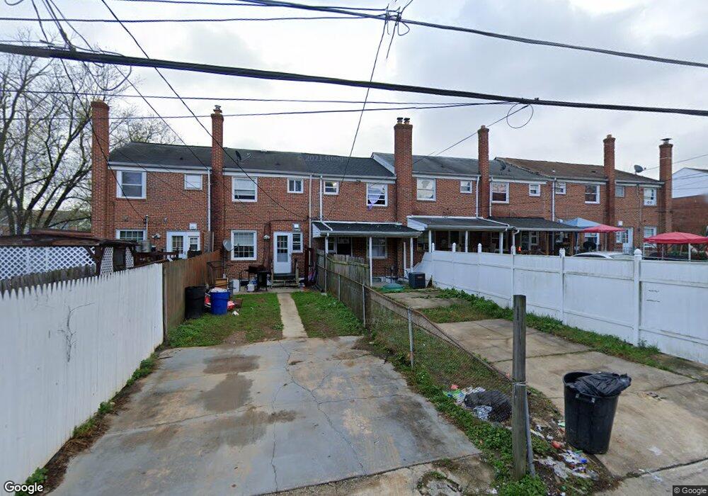
4442 Fenor Rd Halethorpe, MD 21227
Estimated Value: $204,326 - $237,000
4
Beds
2
Baths
1,024
Sq Ft
$215/Sq Ft
Est. Value
About This Home
This home is located at 4442 Fenor Rd, Halethorpe, MD 21227 and is currently estimated at $219,832, approximately $214 per square foot. 4442 Fenor Rd is a home located in Baltimore County with nearby schools including Baltimore Highlands Elementary School, Lansdowne Middle School, and Lansdowne High School.
Ownership History
Date
Name
Owned For
Owner Type
Purchase Details
Closed on
Dec 6, 2022
Sold by
Ps Holdings I-De Llc
Bought by
Sales Dice Llc
Current Estimated Value
Home Financials for this Owner
Home Financials are based on the most recent Mortgage that was taken out on this home.
Original Mortgage
$2,400,000
Interest Rate
6.49%
Purchase Details
Closed on
Nov 29, 2017
Sold by
Street Smart Resi Capijtal Ii Llc
Bought by
Ps Holdings 1 De Llc
Purchase Details
Closed on
Dec 12, 2016
Sold by
Street Smart Resi Capital Llc
Bought by
Street Smart Resi Capital Ii Llc
Purchase Details
Closed on
Jun 17, 2016
Sold by
Schmidt Stacey K
Bought by
Street Smart Resi Capital Llc
Home Financials for this Owner
Home Financials are based on the most recent Mortgage that was taken out on this home.
Original Mortgage
$107,250
Interest Rate
3.58%
Mortgage Type
Future Advance Clause Open End Mortgage
Purchase Details
Closed on
Mar 14, 1979
Sold by
Clopein Allen Henry
Bought by
Gross Catherine P
Create a Home Valuation Report for This Property
The Home Valuation Report is an in-depth analysis detailing your home's value as well as a comparison with similar homes in the area
Home Values in the Area
Average Home Value in this Area
Purchase History
| Date | Buyer | Sale Price | Title Company |
|---|---|---|---|
| Sales Dice Llc | $141,000 | -- | |
| Ps Holdings 1 De Llc | $112,300 | Masters Title & Escrow | |
| Street Smart Resi Capital Ii Llc | -- | Master Title & Escrow | |
| Street Smart Resi Capital Llc | $60,500 | New World Title Company Llc | |
| Gross Catherine P | $39,500 | -- |
Source: Public Records
Mortgage History
| Date | Status | Borrower | Loan Amount |
|---|---|---|---|
| Previous Owner | Sales Dice Llc | $2,400,000 | |
| Previous Owner | Street Smart Resi Capital Llc | $107,250 |
Source: Public Records
Tax History
| Year | Tax Paid | Tax Assessment Tax Assessment Total Assessment is a certain percentage of the fair market value that is determined by local assessors to be the total taxable value of land and additions on the property. | Land | Improvement |
|---|---|---|---|---|
| 2025 | $3,378 | $156,333 | -- | -- |
| 2024 | $3,378 | $142,900 | $36,000 | $106,900 |
| 2023 | $3,090 | $141,300 | $0 | $0 |
| 2022 | $2,909 | $139,700 | $0 | $0 |
| 2021 | $2,099 | $138,100 | $36,000 | $102,100 |
| 2020 | $2,099 | $129,500 | $0 | $0 |
| 2019 | $1,988 | $120,900 | $0 | $0 |
| 2018 | $2,170 | $112,300 | $36,000 | $76,300 |
| 2017 | $2,924 | $112,300 | $0 | $0 |
| 2016 | -- | $112,300 | $0 | $0 |
| 2015 | $1,679 | $114,100 | $0 | $0 |
| 2014 | $1,679 | $114,100 | $0 | $0 |
Source: Public Records
Map
Nearby Homes
- 4435 Scotia Rd
- 4438 Scotia Rd
- 4415 Norfen Rd
- 2773 Yarnall Rd
- 4323 Annapolis Rd
- 2812 Florida Ave
- 2911 Vermont Ave
- 4157 Hollins Ferry Rd
- 2828 Alabama Ave
- 4206 Baltimore St
- 2909 Louisiana Ave
- 2818 Rose Ave
- 0 Maryland Ave
- 3806 Baltimore St
- P298 & P263 Nursery Rd
- 404 Carl Ave
- 6838 Baltimore Annapolis Blvd
- 145 Shenandoah Ave
- 3504 Shenandoah Ave
- 401 2nd Ave
Your Personal Tour Guide
Ask me questions while you tour the home.