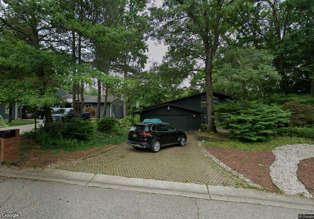
4442 Rolling Pine Dr Unit Bldg-Unit West Bloomfield, MI 48323
Estimated Value: $453,495 - $655,000
3
Beds
3
Baths
1,894
Sq Ft
$280/Sq Ft
Est. Value
About This Home
This home is located at 4442 Rolling Pine Dr Unit Bldg-Unit, West Bloomfield, MI 48323 and is currently estimated at $530,124, approximately $279 per square foot. 4442 Rolling Pine Dr Unit Bldg-Unit is a home located in Oakland County with nearby schools including Walled Lake Central High School, The Susan And Rabbi Harold Loss Ecc, and Brookfield Academy - West Bloomfield.
Ownership History
Date
Name
Owned For
Owner Type
Purchase Details
Closed on
Dec 15, 2021
Sold by
Khaled Naghi H and Khaled Salma A
Bought by
Khaled Naghi H and Khaled Salma A
Current Estimated Value
Purchase Details
Closed on
Feb 26, 2018
Sold by
Greenblatt Dean G and Gilbert Greg S
Bought by
Khaled Naghi H and Amer Salma A
Home Financials for this Owner
Home Financials are based on the most recent Mortgage that was taken out on this home.
Original Mortgage
$260,000
Interest Rate
4.04%
Mortgage Type
New Conventional
Purchase Details
Closed on
Dec 21, 1994
Sold by
Gilbert Alice L
Bought by
Gilbert Residential Trust
Create a Home Valuation Report for This Property
The Home Valuation Report is an in-depth analysis detailing your home's value as well as a comparison with similar homes in the area
Home Values in the Area
Average Home Value in this Area
Purchase History
| Date | Buyer | Sale Price | Title Company |
|---|---|---|---|
| Khaled Naghi H | -- | None Listed On Document | |
| Khaled Naghi H | $420,000 | First American Title Insuran | |
| Gilbert Residential Trust | -- | -- |
Source: Public Records
Mortgage History
| Date | Status | Borrower | Loan Amount |
|---|---|---|---|
| Previous Owner | Khaled Naghi H | $260,000 |
Source: Public Records
Tax History Compared to Growth
Tax History
| Year | Tax Paid | Tax Assessment Tax Assessment Total Assessment is a certain percentage of the fair market value that is determined by local assessors to be the total taxable value of land and additions on the property. | Land | Improvement |
|---|---|---|---|---|
| 2024 | $3,736 | $189,970 | $0 | $0 |
| 2022 | $3,431 | $176,460 | $24,200 | $152,260 |
| 2021 | $5,845 | $181,930 | $0 | $0 |
| 2020 | $3,708 | $178,740 | $24,200 | $154,540 |
| 2018 | $4,474 | $153,310 | $24,200 | $129,110 |
| 2015 | -- | $135,590 | $0 | $0 |
| 2014 | -- | $127,280 | $0 | $0 |
| 2011 | -- | $122,170 | $0 | $0 |
Source: Public Records
Map
Nearby Homes
- 4540 Rolling Pine Ct
- 4442 Borland St
- 6675 Langtoft St
- 6980 Hambro St
- 0000 Langtoft
- 4066 Green Lake Rd
- 6978 Colony Dr
- 4335 Crestdale Ave
- 3991 Fieldview Ave
- 3965 Carrick Ave
- 3950 Bradmore Ave
- 4245 Bunker Ave
- 6903 Dandison Blvd
- 7545/7585 Pontiac Trail
- 7585/7548 Pontiac Trail
- 6140 Pontiac Trail
- 000 Pontiac Trail
- 6100 Pontiac Trail
- 4212 Greendale Ave
- 6768 Buckland Ave
- 4442 Rolling Pine Dr
- 4448 Rolling Pine Dr
- 4430 Rolling Pine Dr
- 4460 Rolling Pine Dr
- 0000 Renshaw St
- 0000 Renshaw St
- 0 Renshaw Unit 4913859
- 0 Renshaw Unit 4913858
- 0 Renshaw Unit 4921592
- 0 Renshaw Unit 4922453
- 0 Renshaw Unit 214066630
- 0 Renshaw Unit 214066595
- 0 Renshaw Unit 214105189
- 0 Renshaw Unit 214105177
- 4445 Rolling Pine Dr
- 4468 Rolling Pine Dr
- 4439 Rolling Pine Dr
- 4418 Rolling Pine Dr
- 4478 Rolling Pine Dr
- 4406 Rolling Pine Dr