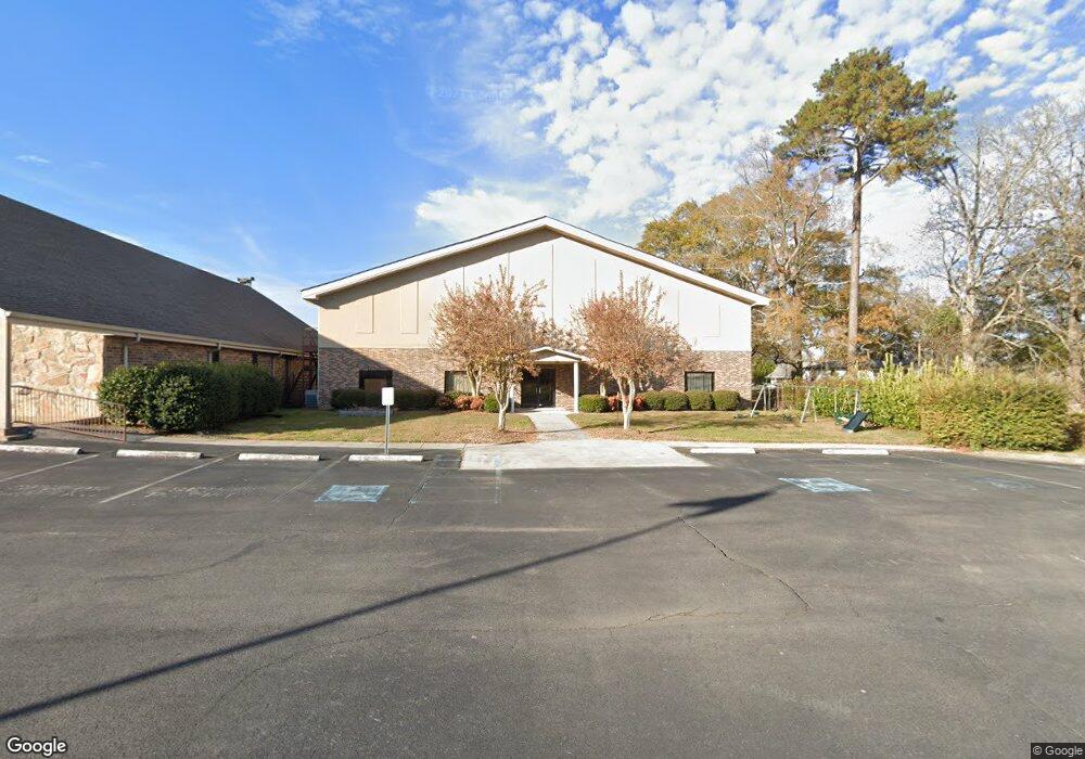
4443 Tibbs Bridge Rd SE Dalton, GA 30721
Estimated Value: $122,000 - $171,000
--
Bed
--
Bath
19,680
Sq Ft
$7/Sq Ft
Est. Value
About This Home
This home is located at 4443 Tibbs Bridge Rd SE, Dalton, GA 30721 and is currently estimated at $146,500, approximately $7 per square foot. 4443 Tibbs Bridge Rd SE is a home located in Whitfield County with nearby schools including Cedar Ridge Elementary School, Eastbrook Middle School, and Southeast Whitfield County High School.
Ownership History
Date
Name
Owned For
Owner Type
Purchase Details
Closed on
May 3, 2018
Sold by
Liberty Baptist Church Of
Bought by
Dalton Mount Olive Church Of
Current Estimated Value
Home Financials for this Owner
Home Financials are based on the most recent Mortgage that was taken out on this home.
Original Mortgage
$350,000
Interest Rate
4.4%
Mortgage Type
Commercial
Purchase Details
Closed on
Feb 1, 1995
Bought by
Church Liberty Baptist Of
Create a Home Valuation Report for This Property
The Home Valuation Report is an in-depth analysis detailing your home's value as well as a comparison with similar homes in the area
Home Values in the Area
Average Home Value in this Area
Purchase History
| Date | Buyer | Sale Price | Title Company |
|---|---|---|---|
| Dalton Mount Olive Church Of | $450,000 | -- | |
| Church Liberty Baptist Of | -- | -- |
Source: Public Records
Mortgage History
| Date | Status | Borrower | Loan Amount |
|---|---|---|---|
| Closed | Dalton Mount Olive Church Of | $350,000 |
Source: Public Records
Tax History Compared to Growth
Tax History
| Year | Tax Paid | Tax Assessment Tax Assessment Total Assessment is a certain percentage of the fair market value that is determined by local assessors to be the total taxable value of land and additions on the property. | Land | Improvement |
|---|---|---|---|---|
| 2024 | -- | $668,658 | $15,884 | $652,774 |
| 2023 | $0 | $564,936 | $15,884 | $549,052 |
| 2022 | $17,799 | $564,936 | $15,884 | $549,052 |
| 2021 | $17,799 | $564,936 | $15,884 | $549,052 |
| 2020 | $17,799 | $564,936 | $15,884 | $549,052 |
| 2019 | $17,799 | $564,936 | $15,884 | $549,052 |
| 2018 | $0 | $564,936 | $15,884 | $549,052 |
| 2017 | $0 | $564,936 | $15,884 | $549,052 |
| 2016 | $0 | $564,936 | $15,884 | $549,052 |
| 2014 | -- | $564,936 | $15,884 | $549,052 |
| 2013 | -- | $564,936 | $15,884 | $549,052 |
Source: Public Records
Map
Nearby Homes
- 185 Cedar Ridge Rd
- 4322 Banks Dr SE
- 760 Keith Rd SE
- 404 Lakeview Dr SE
- 210 Gordon Dr
- 0 Leon Cir
- 0 Tibbs Bridge Rd SE
- 0 Cheree Way Unit 129259
- 3214 Headrick Cir SE
- Lt 30-33 Indian Dr NE
- 01 Headrick Cir SE
- 00 Headrick Cir SE
- 230 Indian Dr NE
- Lot 30-33 Indian Trail NE
- Lot 63 Cherokee Dr NE
- 3657 Airport Rd
- 1259 Rollins Ketchum Rd
- 0 Old Grade Rd
- 0 Rollins Ketchum Rd
- 111 Arthur St
- 530 Burgess Rd SE
- 527 Burgess Rd SE
- 4440 Tibbs Bridge Rd SE
- 4434 Tibbs Bridge Rd SE
- 523 Burgess Rd SE
- 529 Burgess Rd SE
- 512 Burgess Rd SE
- 537 Burgess Rd SE
- 4518 Tibbs Bridge Rd SE
- 153 Kincannon Way
- 539 Burgess Rd SE
- 509 Burgess Rd SE
- 4509 Tibbs Bridge Rd SE
- 4536 Tibbs Bridge Rd SE
- 4519 Tibbs Bridge Rd SE
- 4410 Tibbs Bridge Rd SE
- 521 Burgess Rd SE
- 4538 Tibbs Bridge Rd SE
- 605 Law Dr SE
- 4533 Tibbs Bridge Rd SE