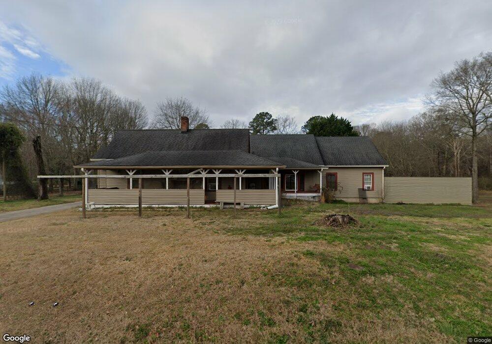
4446 Flint Hill Rd Austell, GA 30106
Estimated Value: $535,000 - $688,700
3
Beds
3
Baths
3,377
Sq Ft
$181/Sq Ft
Est. Value
About This Home
This home is located at 4446 Flint Hill Rd, Austell, GA 30106 and is currently estimated at $610,900, approximately $180 per square foot. 4446 Flint Hill Rd is a home located in Cobb County with nearby schools including Deerwood Elementary School, Clarkdale Elementary School, and Cooper Middle School.
Ownership History
Date
Name
Owned For
Owner Type
Purchase Details
Closed on
Apr 9, 2018
Sold by
Floyd Robert M
Bought by
Floyd Robert M and Floyd Joe B
Current Estimated Value
Purchase Details
Closed on
Mar 24, 2005
Sold by
Smith Carey L and Smith Lizette
Bought by
Floyd Robert M and Floyd Joe
Home Financials for this Owner
Home Financials are based on the most recent Mortgage that was taken out on this home.
Original Mortgage
$351,000
Interest Rate
5.88%
Mortgage Type
New Conventional
Create a Home Valuation Report for This Property
The Home Valuation Report is an in-depth analysis detailing your home's value as well as a comparison with similar homes in the area
Home Values in the Area
Average Home Value in this Area
Purchase History
| Date | Buyer | Sale Price | Title Company |
|---|---|---|---|
| Floyd Robert M | -- | -- | |
| Floyd Robert M | $390,000 | -- |
Source: Public Records
Mortgage History
| Date | Status | Borrower | Loan Amount |
|---|---|---|---|
| Previous Owner | Floyd Robert M | $351,000 |
Source: Public Records
Tax History Compared to Growth
Tax History
| Year | Tax Paid | Tax Assessment Tax Assessment Total Assessment is a certain percentage of the fair market value that is determined by local assessors to be the total taxable value of land and additions on the property. | Land | Improvement |
|---|---|---|---|---|
| 2025 | $1,927 | $280,568 | $135,168 | $145,400 |
| 2024 | $1,932 | $280,568 | $135,168 | $145,400 |
| 2023 | $1,629 | $248,092 | $126,720 | $121,372 |
| 2022 | $1,715 | $207,992 | $84,480 | $123,512 |
| 2021 | $1,573 | $160,344 | $63,360 | $96,984 |
| 2020 | $1,573 | $160,344 | $63,360 | $96,984 |
| 2019 | $1,539 | $149,080 | $52,096 | $96,984 |
| 2018 | $1,485 | $137,092 | $47,872 | $89,220 |
| 2017 | $1,144 | $123,012 | $33,792 | $89,220 |
| 2016 | $1,145 | $123,012 | $33,792 | $89,220 |
| 2015 | $1,228 | $123,012 | $33,792 | $89,220 |
| 2014 | $2,672 | $98,764 | $0 | $0 |
Source: Public Records
Map
Nearby Homes
- 4452 Flint Hill Rd
- 2477 Greenside Ct
- 2355 Greenside Dr
- 2469 Greenside Ct
- 4448 Flint Hill Rd
- 2358 Greenside Dr
- 2351 Greenside Dr
- 2461 Greenside Ct
- 4405 Flint Hill Rd
- 2470 Greenside Ct
- 4450 Flint Hill Rd
- 2478 Greenside Ct
- 2354 Greenside Dr
- 2462 Greenside Ct
- 4502 Greenside Walk
- 4500 Flint Hill Rd
- 2458 Greenside Ct
- 2343 Greenside Dr
- 4506 Greenside Walk
- 2346 Greenside Dr