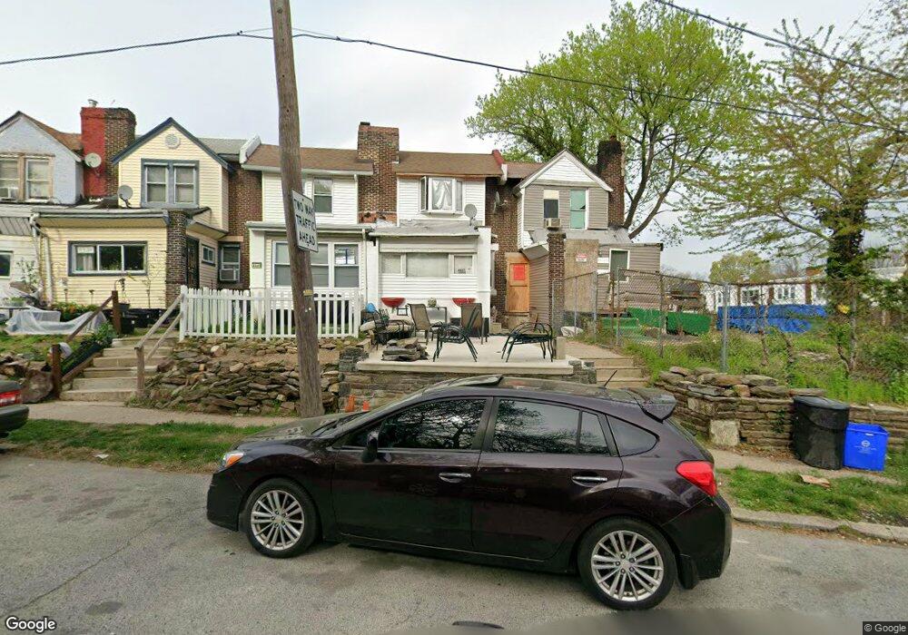
4447 Morris St Philadelphia, PA 19144
Germantown NeighborhoodEstimated Value: $178,000 - $223,000
3
Beds
1
Bath
1,148
Sq Ft
$174/Sq Ft
Est. Value
About This Home
This home is located at 4447 Morris St, Philadelphia, PA 19144 and is currently estimated at $199,969, approximately $174 per square foot. 4447 Morris St is a home located in Philadelphia County with nearby schools including John B. Kelly School, Roosevelt Theodore Middle School, and Martin Luther King High School.
Ownership History
Date
Name
Owned For
Owner Type
Purchase Details
Closed on
Mar 16, 2020
Sold by
Fortune Darryl Scott
Bought by
Fortune Tyniesha N
Current Estimated Value
Purchase Details
Closed on
Dec 30, 2019
Sold by
Fortune Darryl Scott and Johns Joyce Y
Bought by
Fortune Darryl Scott
Purchase Details
Closed on
Jun 14, 1991
Bought by
Fortune Darryl S and Crowden Joyce Y
Create a Home Valuation Report for This Property
The Home Valuation Report is an in-depth analysis detailing your home's value as well as a comparison with similar homes in the area
Home Values in the Area
Average Home Value in this Area
Purchase History
| Date | Buyer | Sale Price | Title Company |
|---|---|---|---|
| Fortune Tyniesha N | -- | None Available | |
| Fortune Darryl Scott | -- | None Available | |
| Fortune Darryl S | $14,000 | -- |
Source: Public Records
Tax History Compared to Growth
Tax History
| Year | Tax Paid | Tax Assessment Tax Assessment Total Assessment is a certain percentage of the fair market value that is determined by local assessors to be the total taxable value of land and additions on the property. | Land | Improvement |
|---|---|---|---|---|
| 2026 | $1,646 | $163,400 | $32,680 | $130,720 |
| 2025 | $1,646 | $163,400 | $32,680 | $130,720 |
| 2024 | $1,646 | $163,400 | $32,680 | $130,720 |
| 2023 | $1,646 | $117,600 | $23,520 | $94,080 |
| 2022 | $1,384 | $117,600 | $23,520 | $94,080 |
| 2021 | $1,384 | $0 | $0 | $0 |
| 2020 | $1,384 | $0 | $0 | $0 |
| 2019 | $878 | $0 | $0 | $0 |
| 2018 | $872 | $0 | $0 | $0 |
| 2017 | $872 | $0 | $0 | $0 |
| 2016 | $452 | $0 | $0 | $0 |
| 2015 | $433 | $0 | $0 | $0 |
| 2014 | -- | $62,300 | $10,371 | $51,929 |
| 2012 | -- | $10,560 | $2,244 | $8,316 |
Source: Public Records
Map
Nearby Homes
- 4520 Fernhill Rd
- 4534 Fernhill Rd
- 4544 Fernhill Rd
- 4545 Morris St
- 4529 Pulaski Ave
- 4545 Pulaski Ave
- 4551 Pulaski Ave
- 4634 Fernhill Rd
- 242 W Berkley St
- 4641 Fernhill Rd
- 4623 Pulaski Ave
- 214 W Abbottsford Ave
- 4845 Pulaski Ave
- 157 W Apsley St
- 2013 Newcomb St
- 419 W Clapier St
- 1938 Roberts Ave
- 4363 Wayne Ave
- 173 W Wyneva St
- 2010 Rowan St
- 4445 Morris St
- 4443 Morris St
- 4449 Morris St
- 4451 Morris St
- 359 W Milne St
- 4453 Morris St
- 357 W Milne St
- 4455 Morris St
- 355 W Milne St
- 4457 Morris St
- 358 W Berkley St
- 356 W Berkley St
- 353 W Milne St
- 4459 Morris St
- 354 W Berkley St
- 351 W Milne St
- 336 W Berkley St
- 352 W Berkley St
- 374 W Milne St
- 380 W Milne St