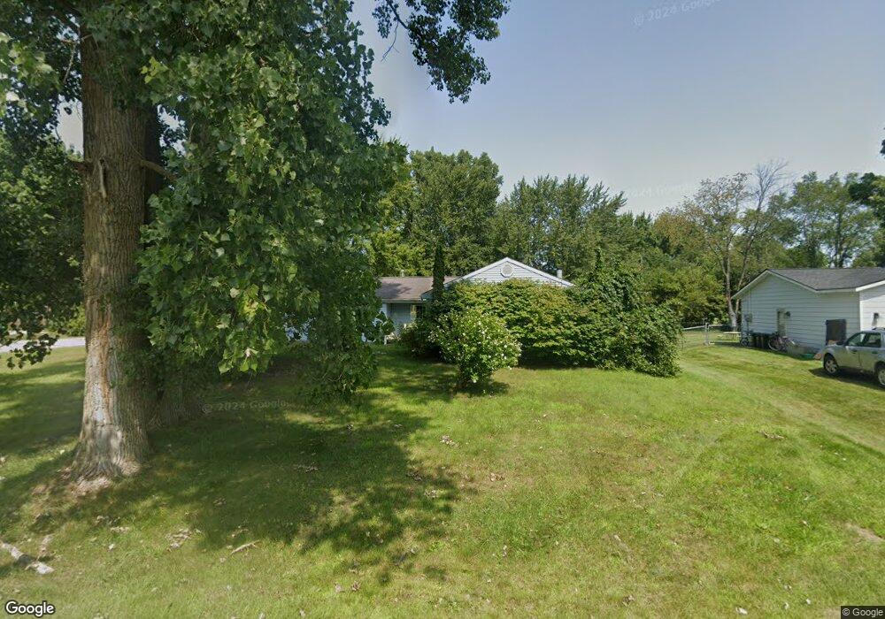
4448 Cambridge Dr Port Huron, MI 48060
Estimated Value: $272,000 - $302,000
7
Beds
2
Baths
2,200
Sq Ft
$130/Sq Ft
Est. Value
About This Home
This home is located at 4448 Cambridge Dr, Port Huron, MI 48060 and is currently estimated at $285,114, approximately $129 per square foot. 4448 Cambridge Dr is a home located in St. Clair County with nearby schools including Michigamme Elementary School, Central Middle School, and Port Huron High School.
Ownership History
Date
Name
Owned For
Owner Type
Purchase Details
Closed on
Nov 6, 2009
Sold by
Defour Geraldine
Bought by
Schutt Robert L and Schlitt Carmen
Current Estimated Value
Home Financials for this Owner
Home Financials are based on the most recent Mortgage that was taken out on this home.
Original Mortgage
$72,751
Outstanding Balance
$47,406
Interest Rate
4.96%
Mortgage Type
FHA
Estimated Equity
$237,708
Purchase Details
Closed on
Dec 18, 2008
Sold by
Defour Geraldine
Bought by
Wells Fargo Bank Na
Create a Home Valuation Report for This Property
The Home Valuation Report is an in-depth analysis detailing your home's value as well as a comparison with similar homes in the area
Home Values in the Area
Average Home Value in this Area
Purchase History
| Date | Buyer | Sale Price | Title Company |
|---|---|---|---|
| Schutt Robert L | $75,000 | Maritime Title Agency Llc | |
| Wells Fargo Bank Na | $86,434 | None Available |
Source: Public Records
Mortgage History
| Date | Status | Borrower | Loan Amount |
|---|---|---|---|
| Open | Schutt Robert L | $72,751 |
Source: Public Records
Tax History Compared to Growth
Tax History
| Year | Tax Paid | Tax Assessment Tax Assessment Total Assessment is a certain percentage of the fair market value that is determined by local assessors to be the total taxable value of land and additions on the property. | Land | Improvement |
|---|---|---|---|---|
| 2025 | $2,625 | $129,400 | $0 | $0 |
| 2024 | $1,381 | $113,000 | $0 | $0 |
| 2023 | $1,275 | $108,400 | $0 | $0 |
| 2022 | $2,356 | $97,800 | $0 | $0 |
| 2021 | $2,161 | $95,200 | $0 | $0 |
| 2020 | $2,161 | $92,400 | $92,400 | $0 |
| 2019 | $2,116 | $72,600 | $0 | $0 |
| 2018 | $2,087 | $72,600 | $0 | $0 |
| 2017 | $2,090 | $65,200 | $0 | $0 |
| 2016 | $1,047 | $65,200 | $0 | $0 |
| 2015 | -- | $62,300 | $62,300 | $0 |
| 2014 | -- | $59,400 | $59,400 | $0 |
| 2013 | -- | $58,000 | $0 | $0 |
Source: Public Records
Map
Nearby Homes
- 4460 Cambridge Dr
- 4608 Huntington Dr
- 3230 Range Rd
- 4361 Peck Rd
- 4570 Atkins Rd
- 4224 Atkins Rd
- 4911 Castlewood Dr
- 3115 Spruce Dr
- 3152 Spruce Dr
- 3559 Lightle Rd
- 4167 N River Rd
- 4224 N River Rd
- 3345 Beach Rd
- Lot #9 Thornton Dr
- 3993 N River Rd
- 3580 Angus Rd
- 3971 N River Rd
- 0 Lapeer Rd Unit 50137357
- 3465 West Dr
- 3625 Angus Rd
- 4440 Cambridge Dr
- 4454 Cambridge Dr
- 4432 Cambridge Dr
- 4451 Canterbury Dr
- 4433 Canterbury Dr
- 4425 Canterbury Dr
- 4445 Cambridge Dr
- 4439 Cambridge Dr
- 4415 Canterbury Dr
- 4428 Cambridge Dr
- 4455 Cambridge Dr
- 4409 Canterbury Dr
- 4457 Cambridge Dr
- 4468 Cambridge Dr
- 3211 S Charmwood Dr
- 4420 Cambridge Dr
- 3217 S Charmwood Dr
- 4419 Cambridge Dr
- 3150 S Charmwood Dr
- 4614 Kingsbury Dr