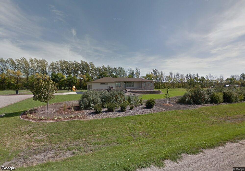
4449 4th St W West Fargo, ND 58078
Westport Beach NeighborhoodEstimated Value: $826,000
6
Beds
3
Baths
1,924
Sq Ft
$429/Sq Ft
Est. Value
About This Home
This home is located at 4449 4th St W, West Fargo, ND 58078 and is currently priced at $826,000, approximately $429 per square foot. 4449 4th St W is a home with nearby schools including Legacy Elementary School, Liberty Middle School, and West Fargo Sheyenne High School.
Ownership History
Date
Name
Owned For
Owner Type
Purchase Details
Closed on
Dec 18, 2013
Sold by
Randall Anthony Robert
Bought by
Randall Anthony Robert and Randall Paula
Current Estimated Value
Home Financials for this Owner
Home Financials are based on the most recent Mortgage that was taken out on this home.
Original Mortgage
$417,000
Outstanding Balance
$313,757
Interest Rate
4.38%
Mortgage Type
New Conventional
Create a Home Valuation Report for This Property
The Home Valuation Report is an in-depth analysis detailing your home's value as well as a comparison with similar homes in the area
Home Values in the Area
Average Home Value in this Area
Purchase History
| Date | Buyer | Sale Price | Title Company |
|---|---|---|---|
| Randall Anthony Robert | -- | None Available |
Source: Public Records
Mortgage History
| Date | Status | Borrower | Loan Amount |
|---|---|---|---|
| Open | Randall Anthony Robert | $417,000 |
Source: Public Records
Tax History Compared to Growth
Tax History
| Year | Tax Paid | Tax Assessment Tax Assessment Total Assessment is a certain percentage of the fair market value that is determined by local assessors to be the total taxable value of land and additions on the property. | Land | Improvement |
|---|---|---|---|---|
| 2024 | $12,359 | $428,800 | $104,300 | $324,500 |
| 2023 | $11,980 | $395,700 | $86,800 | $308,900 |
| 2022 | $11,456 | $372,200 | $86,800 | $285,400 |
| 2021 | $10,384 | $332,250 | $54,500 | $277,750 |
| 2020 | $9,790 | $316,100 | $54,500 | $261,600 |
| 2019 | $9,630 | $306,300 | $54,500 | $251,800 |
| 2018 | $9,611 | $317,100 | $54,500 | $262,600 |
| 2017 | $7,759 | $261,100 | $54,500 | $206,600 |
| 2016 | $6,802 | $263,050 | $54,500 | $208,550 |
| 2015 | $6,304 | $233,450 | $31,900 | $201,550 |
| 2014 | $4,181 | $218,200 | $31,900 | $186,300 |
| 2013 | $1,916 | $143,200 | $31,900 | $111,300 |
Source: Public Records
Map
Nearby Homes
- 4355 66th St S
- 4337 66th St S
- 4534 Westport Pkwy
- 319 50th Place W
- 6511 Osgood Pkwy S
- 4507 Newport Ln
- 106 50th Ave E
- 4509 11th St W
- 6976 65th St S
- 7108 65th St S
- 7018 65th St S
- 6965 65th St S
- 6977 65th St S
- 6988 65th St S
- 7114 65th St S
- 6970 65th St S
- 6971 65th St S
- 7024 65th St S
- 7036 65th St S
- 7102 65th St S
- 4402 4th St W
- 4425 4th St W
- 4519 4th St W
- 443 45th Ave W
- 522 45th Ave W
- 4402 S River Estates Way
- 4522 Sheyenne St
- 521 45th Ave W
- 4501 S River Estates Way
- 4212 4th St W
- 523 42nd Ave W
- 4404 S River Estates Way
- 600 45th Ave W
- 4200 Carmell Place
- 4121 Carmell Place
- 4505 S River Estates Way
- 4406 S River Estates Way
- 599 45th Ave W
- 4206 Carmell Place
- 4140 4th St W