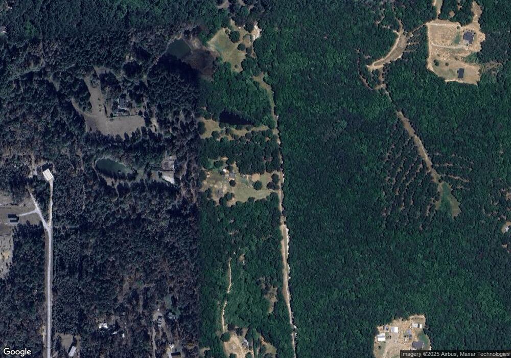
4449 Randall Rd Dearing, GA 30808
Estimated Value: $313,000 - $431,000
3
Beds
2
Baths
1,720
Sq Ft
$224/Sq Ft
Est. Value
About This Home
This home is located at 4449 Randall Rd, Dearing, GA 30808 and is currently estimated at $385,619, approximately $224 per square foot. 4449 Randall Rd is a home located in McDuffie County with nearby schools including Thomson High School.
Ownership History
Date
Name
Owned For
Owner Type
Purchase Details
Closed on
Apr 15, 2009
Sold by
Sims Gerald P
Bought by
Koscinch David A
Current Estimated Value
Home Financials for this Owner
Home Financials are based on the most recent Mortgage that was taken out on this home.
Original Mortgage
$224,730
Outstanding Balance
$142,599
Interest Rate
5.01%
Mortgage Type
VA
Estimated Equity
$243,020
Purchase Details
Closed on
May 10, 1999
Sold by
Crump Jerry W
Bought by
Sims Gerald D
Purchase Details
Closed on
Aug 3, 1984
Bought by
Crump Jerry W
Create a Home Valuation Report for This Property
The Home Valuation Report is an in-depth analysis detailing your home's value as well as a comparison with similar homes in the area
Home Values in the Area
Average Home Value in this Area
Purchase History
| Date | Buyer | Sale Price | Title Company |
|---|---|---|---|
| Koscinch David A | $220,000 | -- | |
| Sims Gerald D | $124,900 | -- | |
| Crump Jerry W | $15,500 | -- |
Source: Public Records
Mortgage History
| Date | Status | Borrower | Loan Amount |
|---|---|---|---|
| Open | Koscinch David A | $224,730 |
Source: Public Records
Tax History Compared to Growth
Tax History
| Year | Tax Paid | Tax Assessment Tax Assessment Total Assessment is a certain percentage of the fair market value that is determined by local assessors to be the total taxable value of land and additions on the property. | Land | Improvement |
|---|---|---|---|---|
| 2024 | $280 | $148,763 | $34,555 | $114,208 |
| 2023 | $902 | $142,076 | $32,552 | $109,524 |
| 2022 | $289 | $131,207 | $32,552 | $98,655 |
| 2021 | $109 | $110,885 | $32,552 | $78,333 |
| 2020 | $1,883 | $92,638 | $26,652 | $65,986 |
| 2019 | $1,883 | $86,288 | $26,652 | $59,636 |
| 2018 | $1,881 | $86,288 | $26,652 | $59,636 |
| 2017 | $1,813 | $86,288 | $26,652 | $59,636 |
| 2016 | $1,812 | $86,288 | $26,652 | $59,636 |
| 2015 | $1,635 | $83,258 | $23,622 | $59,636 |
| 2014 | $1,639 | $83,262 | $23,626 | $59,636 |
| 2013 | -- | $83,611 | $23,622 | $59,988 |
Source: Public Records
Map
Nearby Homes
- 4099 Randall Hunt Rd
- 3946 Radford Gay Rd
- 146 Oakwood Dr
- 183 Beallwood Dr
- 227 Pebble Ln
- 191 Beallwood Dr
- 193 Beallwood Dr
- 872 Sweet Grass Cir
- 854 Sweet Grass Cir
- 806 Sweet Grass Cir
- 864 Sweet Grass Cir
- 832 Sweet Grass Cir
- 830 Sweet Grass Cir
- 812 Sweet Grass Cir
- 814 Sweet Grass Cir
- 818 Sweet Grass Cir
- 833 Sweet Grass Cir
- 137 Beallwood Dr
- 2105 Lavender Trail
- 2224 Southland Dr
- 4419 Randall Rd
- 4447 Randall Rd
- 4373 Randall Rd
- 4373 Randall Rd
- 4431 Randall Rd
- 4417 Randall Rd
- 4375 Randall Rd
- 4393 Randall Rd
- 4323 Randall Rd
- 4483 Randall Rd
- 1093 County Line Rd
- 1119 County Line Rd
- 4311 Randall Rd
- 4311 Randall Rd
- 5846 Augusta Hwy SE
- 4291 Randall Rd
- 1115 County Line Rd
- 5710 Augusta Hwy SE
- 4222 Randall Hunt Rd
- 4218 Randall Hunt Rd
