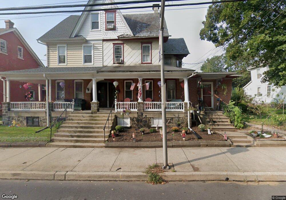
444A E Broad St Quakertown, PA 18951
Estimated Value: $322,000 - $445,832
5
Beds
5
Baths
2,731
Sq Ft
$142/Sq Ft
Est. Value
About This Home
This home is located at 444A E Broad St, Quakertown, PA 18951 and is currently estimated at $388,708, approximately $142 per square foot. 444A E Broad St is a home located in Bucks County with nearby schools including Richland Elementary School, Strayer Middle School, and Quakertown Community Senior High School.
Ownership History
Date
Name
Owned For
Owner Type
Purchase Details
Closed on
Jul 11, 2019
Sold by
Coleman Gordon and Coleman Nancy M
Bought by
Delong Ethan L
Current Estimated Value
Home Financials for this Owner
Home Financials are based on the most recent Mortgage that was taken out on this home.
Original Mortgage
$165,000
Outstanding Balance
$144,792
Interest Rate
3.9%
Mortgage Type
New Conventional
Estimated Equity
$243,916
Purchase Details
Closed on
Nov 6, 1998
Sold by
Derstine Willard and Derstine Lillie R
Bought by
Calvary Church Foundation
Create a Home Valuation Report for This Property
The Home Valuation Report is an in-depth analysis detailing your home's value as well as a comparison with similar homes in the area
Home Values in the Area
Average Home Value in this Area
Purchase History
| Date | Buyer | Sale Price | Title Company |
|---|---|---|---|
| Delong Ethan L | $220,000 | None Available | |
| Calvary Church Foundation | $116,648 | Commonwealth Land Title Ins |
Source: Public Records
Mortgage History
| Date | Status | Borrower | Loan Amount |
|---|---|---|---|
| Open | Delong Ethan L | $165,000 |
Source: Public Records
Tax History
| Year | Tax Paid | Tax Assessment Tax Assessment Total Assessment is a certain percentage of the fair market value that is determined by local assessors to be the total taxable value of land and additions on the property. | Land | Improvement |
|---|---|---|---|---|
| 2025 | $4,509 | $22,400 | $2,400 | $20,000 |
| 2024 | $4,509 | $22,400 | $2,400 | $20,000 |
| 2023 | $4,464 | $22,400 | $2,400 | $20,000 |
| 2022 | $4,388 | $22,400 | $2,400 | $20,000 |
| 2021 | $4,388 | $22,400 | $2,400 | $20,000 |
| 2020 | $4,388 | $22,400 | $2,400 | $20,000 |
| 2019 | $4,266 | $22,400 | $2,400 | $20,000 |
| 2018 | $4,118 | $22,400 | $2,400 | $20,000 |
| 2017 | $3,990 | $22,400 | $2,400 | $20,000 |
| 2016 | -- | $22,400 | $2,400 | $20,000 |
| 2015 | -- | $22,400 | $2,400 | $20,000 |
| 2014 | -- | $22,400 | $2,400 | $20,000 |
Source: Public Records
Map
Nearby Homes
- 422 Erie Rd
- 234 New St
- 650 E Broad St
- 126 S 2nd St
- 0 Richlandtown Pike Unit 772975
- 629 Juniper St
- 1448 Mill Race Dr
- 1221 Garden Ct
- 1120 Farmhouse Ln
- 134 S 9th St
- 202 Pond View Ct
- 1076 Mariwill Dr
- 2416 Sunfish Cir
- 0 W Paletown Rd
- 1033 Mariwill Dr
- 2345 Twin Lakes Dr
- 54 Ivy Ct
- 1125 Arbour Ln
- 2228 Blue Gill Dr Unit 54
- 121 Braithwaite Ln
- 446 E Broad St
- 444 E Broad St
- 448 E Broad St Unit 2
- 448 E Broad St
- 448 E Broad St Unit 1
- 436 E Broad St
- 450 E Broad St
- 434 E Broad St
- 452 E Broad St
- 438 E Broad St Unit A
- 438 E Broad St
- 438 E Broad St Unit B
- 454 E Broad St
- 432 E Broad St
- 430 E Broad St
- 353 Franklin St
- 447 E Broad St
- 445 E Broad St
- 351 Franklin St
- 426 E Broad St
Your Personal Tour Guide
Ask me questions while you tour the home.