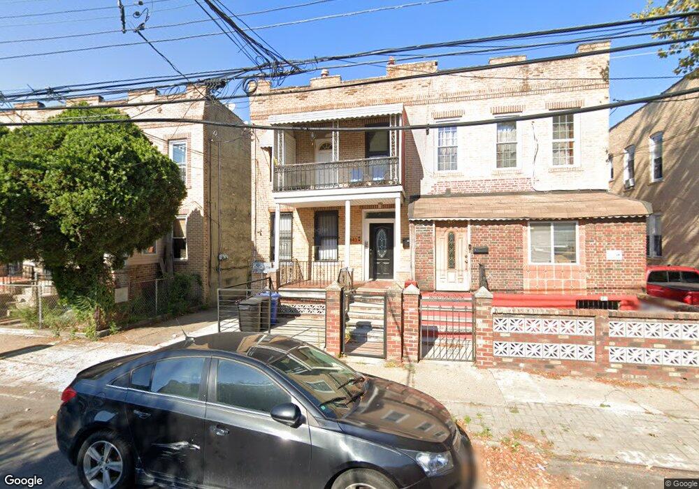
445 Atkins Ave Brooklyn, NY 11208
East New York NeighborhoodEstimated Value: $708,454 - $1,030,000
--
Bed
--
Bath
2,080
Sq Ft
$425/Sq Ft
Est. Value
About This Home
This home is located at 445 Atkins Ave, Brooklyn, NY 11208 and is currently estimated at $883,864, approximately $424 per square foot. 445 Atkins Ave is a home located in Kings County with nearby schools including P.S. 202 Ernest S Jenkyns, Achievement First Aspire Charter, and Brooklyn Scholars Charter School.
Ownership History
Date
Name
Owned For
Owner Type
Purchase Details
Closed on
Jun 27, 2001
Sold by
Trellis Marcia
Bought by
Trellis-Ross Marcia
Current Estimated Value
Home Financials for this Owner
Home Financials are based on the most recent Mortgage that was taken out on this home.
Original Mortgage
$143,000
Interest Rate
6.93%
Create a Home Valuation Report for This Property
The Home Valuation Report is an in-depth analysis detailing your home's value as well as a comparison with similar homes in the area
Home Values in the Area
Average Home Value in this Area
Purchase History
| Date | Buyer | Sale Price | Title Company |
|---|---|---|---|
| Trellis-Ross Marcia | -- | -- |
Source: Public Records
Mortgage History
| Date | Status | Borrower | Loan Amount |
|---|---|---|---|
| Previous Owner | Trellis-Ross Marcia | $143,000 |
Source: Public Records
Tax History Compared to Growth
Tax History
| Year | Tax Paid | Tax Assessment Tax Assessment Total Assessment is a certain percentage of the fair market value that is determined by local assessors to be the total taxable value of land and additions on the property. | Land | Improvement |
|---|---|---|---|---|
| 2025 | $4,778 | $52,260 | $12,240 | $40,020 |
| 2024 | $4,778 | $56,400 | $12,240 | $44,160 |
| 2023 | $4,561 | $60,360 | $12,240 | $48,120 |
| 2022 | $4,233 | $50,820 | $12,240 | $38,580 |
| 2021 | $4,214 | $41,520 | $12,240 | $29,280 |
| 2020 | $3,161 | $40,920 | $12,240 | $28,680 |
| 2019 | $4,147 | $40,920 | $12,240 | $28,680 |
| 2018 | $3,815 | $18,717 | $5,768 | $12,949 |
| 2017 | $3,602 | $17,672 | $7,654 | $10,018 |
| 2016 | $3,336 | $16,687 | $7,482 | $9,205 |
| 2015 | $1,791 | $16,670 | $6,441 | $10,229 |
| 2014 | $1,791 | $16,520 | $6,297 | $10,223 |
Source: Public Records
Map
Nearby Homes
- 459 Berriman St
- 477 Berriman St
- 378 Montauk Ave
- 461 Milford St
- 372 Atkins Ave
- 710 Shepherd Ave
- 369 Berriman St
- 738 Shepherd Ave
- 368 Milford St
- 685 Essex St
- 956 Hegeman Ave
- 369 Milford St
- 495 Milford St
- 1116 Blake Ave
- 1109 Blake Ave
- 1087 Blake Ave
- 823 New Lots Ave
- 1071 Blake Ave
- 791 Linwood St
- 777 Logan St
- 443 Atkins Ave
- 447 Atkins Ave
- 439 Atkins Ave
- 449 Atkins Ave
- 437 Atkins Ave
- 437 Atkins Ave Unit Building
- 455 Atkins Ave
- 433 Atkins Ave
- 433 Atkins Ave Unit Building
- 412 Montauk Ave
- 412 Montauk Ave Unit 1
- 412 Montauk Ave Unit 2
- 418 Montauk Ave
- 418 Montauk Ave Unit 2R
- 459 Atkins Ave
- 410 Montauk Ave
- 431 Atkins Ave
- 406 Montauk Ave
- 408 Montauk Ave
- 461 Atkins Ave