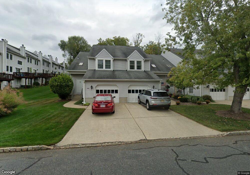
445 Bryant Dr Hackettstown, NJ 07840
Estimated Value: $346,546 - $403,000
Studio
--
Bath
1,583
Sq Ft
$238/Sq Ft
Est. Value
About This Home
This home is located at 445 Bryant Dr, Hackettstown, NJ 07840 and is currently estimated at $376,887, approximately $238 per square foot. 445 Bryant Dr is a home located in Warren County with nearby schools including Great Meadows Regional Middle School.
Ownership History
Date
Name
Owned For
Owner Type
Purchase Details
Closed on
Aug 3, 2007
Sold by
Budd Bonnie
Bought by
Bryan Gina G
Current Estimated Value
Home Financials for this Owner
Home Financials are based on the most recent Mortgage that was taken out on this home.
Original Mortgage
$245,250
Outstanding Balance
$155,835
Interest Rate
6.73%
Mortgage Type
Purchase Money Mortgage
Estimated Equity
$221,052
Purchase Details
Closed on
Feb 19, 2002
Sold by
Lutz Nancy L
Bought by
Budd Bonnie
Home Financials for this Owner
Home Financials are based on the most recent Mortgage that was taken out on this home.
Original Mortgage
$80,500
Interest Rate
6.57%
Purchase Details
Closed on
Feb 14, 1994
Sold by
Lavin John R
Bought by
Lutz Nancy
Home Financials for this Owner
Home Financials are based on the most recent Mortgage that was taken out on this home.
Original Mortgage
$110,000
Interest Rate
7.18%
Create a Home Valuation Report for This Property
The Home Valuation Report is an in-depth analysis detailing your home's value as well as a comparison with similar homes in the area
Home Values in the Area
Average Home Value in this Area
Purchase History
| Date | Buyer | Sale Price | Title Company |
|---|---|---|---|
| Bryan Gina G | $272,500 | None Available | |
| Budd Bonnie | $190,000 | -- | |
| Lutz Nancy | $127,500 | -- |
Source: Public Records
Mortgage History
| Date | Status | Borrower | Loan Amount |
|---|---|---|---|
| Open | Bryan Gina G | $245,250 | |
| Previous Owner | Budd Bonnie | $100,000 | |
| Previous Owner | Budd Bonnie | $80,500 | |
| Previous Owner | Lutz Nancy | $110,000 |
Source: Public Records
Tax History
| Year | Tax Paid | Tax Assessment Tax Assessment Total Assessment is a certain percentage of the fair market value that is determined by local assessors to be the total taxable value of land and additions on the property. | Land | Improvement |
|---|---|---|---|---|
| 2025 | $6,341 | $172,600 | $35,000 | $137,600 |
| 2024 | $6,202 | $172,600 | $35,000 | $137,600 |
Source: Public Records
Map
Nearby Homes
- 189 Kemper Ct
- 335 Carnegie Ct
- 3-A Old Bilby Rd
- 64 Dayton Ct Unit 104
- 00 Russling Rd
- 802 E Prospect St
- 40 Helms Mill Rd
- 500 E Valley View Ave
- 102 Miller St
- 2 Fern Dr
- 216 High St
- 9 Saw Mill Cir
- 5 Saw Mill Cir
- 14 Saw Mill Cir
- 106 E Stiger St
- 109 E Baldwin St
- 103 Brook Dr
- 15 Dorset Dr
- 398 U S 46
- 102 Highway 46
Your Personal Tour Guide
Ask me questions while you tour the home.