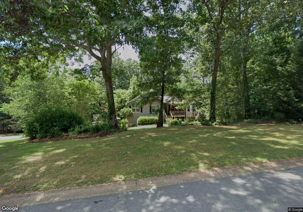
445 Cove Rd Unit 1 Canton, GA 30114
Estimated Value: $354,000 - $374,505
3
Beds
2
Baths
1,756
Sq Ft
$207/Sq Ft
Est. Value
About This Home
This home is located at 445 Cove Rd Unit 1, Canton, GA 30114 and is currently estimated at $364,253, approximately $207 per square foot. 445 Cove Rd Unit 1 is a home located in Cherokee County with nearby schools including Sixes Elementary School, Freedom Middle School, and Woodstock High School.
Ownership History
Date
Name
Owned For
Owner Type
Purchase Details
Closed on
Aug 22, 1997
Sold by
Herndon Larry B and Herndon Deborah L
Bought by
Miller Craig A and Miller Lisa M
Current Estimated Value
Home Financials for this Owner
Home Financials are based on the most recent Mortgage that was taken out on this home.
Original Mortgage
$93,600
Outstanding Balance
$13,330
Interest Rate
7.43%
Mortgage Type
New Conventional
Estimated Equity
$350,923
Create a Home Valuation Report for This Property
The Home Valuation Report is an in-depth analysis detailing your home's value as well as a comparison with similar homes in the area
Home Values in the Area
Average Home Value in this Area
Purchase History
| Date | Buyer | Sale Price | Title Company |
|---|---|---|---|
| Miller Craig A | $96,500 | -- |
Source: Public Records
Mortgage History
| Date | Status | Borrower | Loan Amount |
|---|---|---|---|
| Open | Miller Craig A | $93,600 |
Source: Public Records
Tax History
| Year | Tax Paid | Tax Assessment Tax Assessment Total Assessment is a certain percentage of the fair market value that is determined by local assessors to be the total taxable value of land and additions on the property. | Land | Improvement |
|---|---|---|---|---|
| 2025 | $3,348 | $148,020 | $26,000 | $122,020 |
| 2024 | $3,124 | $136,860 | $24,000 | $112,860 |
| 2023 | $2,678 | $136,340 | $24,000 | $112,340 |
| 2022 | $2,522 | $106,860 | $24,000 | $82,860 |
| 2021 | $2,340 | $89,900 | $18,240 | $71,660 |
| 2020 | $2,110 | $79,940 | $16,000 | $63,940 |
| 2019 | $1,908 | $71,240 | $15,200 | $56,040 |
| 2018 | $1,638 | $60,680 | $14,000 | $46,680 |
| 2017 | $1,497 | $135,600 | $12,800 | $41,440 |
| 2016 | $1,357 | $122,300 | $11,200 | $37,720 |
| 2015 | $1,291 | $115,500 | $10,800 | $35,400 |
| 2014 | $955 | $86,800 | $6,000 | $28,720 |
Source: Public Records
Map
Nearby Homes
- 3161 Marble Quarry Rd
- 1302 Sixes Rd
- 1415 Sixes Rd
- 412 Fernstone Dr
- 2550 Mountain Brook Rd
- 319 Hillgrove Dr
- 151 Wentworth Dr
- 520 Andes Ln
- 1600 Mountain Trace
- 415 Crestmont Ln
- 417 Crestmont Ln
- 206 Sawtooth Ct
- 208 Sawtooth Ct
- 1600 Sixes Rd
- 376 Whitetail Cir
- 276 Whitetail Cir
- 246 Manous Way
- 408 Candy Ln
- 216 Manous Way
- 1418 Palm St
- 425 Cove Rd
- 2930 Mountain Brook Rd Unit 1
- 2905 Mountain Brook Rd
- 2905 Mountain Brook Rd
- 2905 Mountain Brook Rd Unit 14
- 440 Cove Rd
- 420 Cove Rd
- 2923 Mountain Brook Rd Unit 1
- 2941 Mountain Brook Rd
- 2960 Mountain Brook Rd
- 405 Cove Rd
- 2885 Mountain Brook Rd
- 2875 Mountain Brook Rd
- 2860 Mountain Brook Rd
- 3011 Marble Quarry Rd
- 2977 Mountain Brook Rd
- 400 Cove Rd
- 2959 Mountain Brook Rd
- 515 Cove Rd Unit 15
- 515 Cove Rd
Your Personal Tour Guide
Ask me questions while you tour the home.