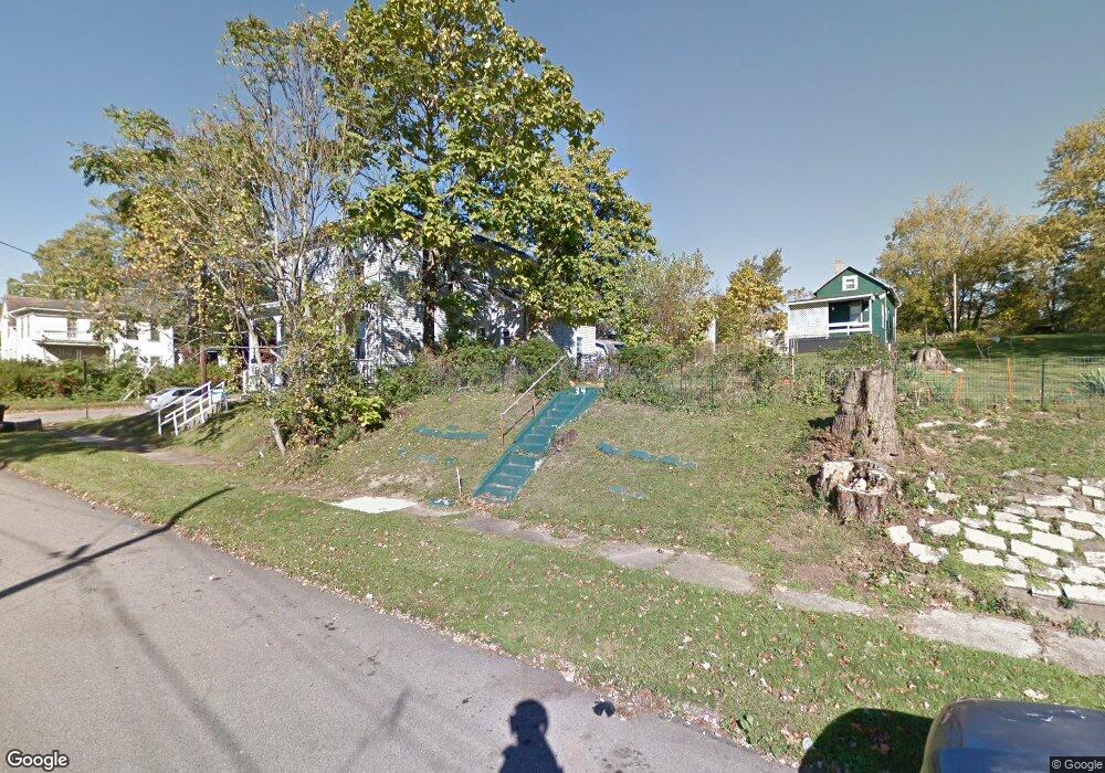
445 Lily St Mansfield, OH 44903
Estimated Value: $53,000 - $97,000
3
Beds
1
Bath
1,294
Sq Ft
$56/Sq Ft
Est. Value
About This Home
This home is located at 445 Lily St, Mansfield, OH 44903 and is currently estimated at $72,342, approximately $55 per square foot. 445 Lily St is a home located in Richland County with nearby schools including Goal Digital Academy, St. Peter's Elementary/Montessori School, and St. Peter's High School/Junior High.
Ownership History
Date
Name
Owned For
Owner Type
Purchase Details
Closed on
Apr 14, 2023
Sold by
Oberlin James Ray and Oberlin Elizabeth P
Bought by
Oberlin James R and Oberlin Elizabeth P
Current Estimated Value
Purchase Details
Closed on
Nov 7, 2020
Sold by
Ostcy Llc
Bought by
Oberin James R and Oberin Elizabeth P
Purchase Details
Closed on
Apr 22, 2019
Sold by
Youngblood Karen L and Simmons Ashley N
Bought by
Tinker Nicholas
Purchase Details
Closed on
Oct 4, 2018
Sold by
Youngblood Karen L
Bought by
Lawhorn Alpae
Purchase Details
Closed on
Mar 14, 2016
Sold by
Estate Of Murdies A Colvin
Bought by
Simmons Ashley N and Lawhorn Alpae J
Create a Home Valuation Report for This Property
The Home Valuation Report is an in-depth analysis detailing your home's value as well as a comparison with similar homes in the area
Home Values in the Area
Average Home Value in this Area
Purchase History
| Date | Buyer | Sale Price | Title Company |
|---|---|---|---|
| Oberlin James R | $5,875 | None Listed On Document | |
| Oberin James R | $15,000 | Hawkins Title Research | |
| Tinker Nicholas | $3,420 | Chicago Ttl Agcy Of North Ct | |
| Lawhorn Alpae | -- | None Available | |
| Simmons Ashley | -- | None Available | |
| Simmons Ashley N | -- | Attorney |
Source: Public Records
Tax History Compared to Growth
Tax History
| Year | Tax Paid | Tax Assessment Tax Assessment Total Assessment is a certain percentage of the fair market value that is determined by local assessors to be the total taxable value of land and additions on the property. | Land | Improvement |
|---|---|---|---|---|
| 2024 | $150 | $3,130 | $1,820 | $1,310 |
| 2023 | $150 | $3,130 | $1,820 | $1,310 |
| 2022 | $150 | $2,630 | $1,660 | $970 |
| 2021 | $151 | $2,630 | $1,660 | $970 |
| 2020 | $1,610 | $11,530 | $1,660 | $9,870 |
| 2019 | $735 | $11,530 | $1,660 | $9,870 |
| 2018 | $725 | $11,530 | $1,660 | $9,870 |
| 2017 | $706 | $11,530 | $1,660 | $9,870 |
| 2016 | $755 | $11,970 | $2,620 | $9,350 |
| 2015 | $755 | $11,970 | $2,620 | $9,350 |
| 2014 | $712 | $11,970 | $2,620 | $9,350 |
| 2012 | $175 | $12,610 | $2,760 | $9,850 |
Source: Public Records
Map
Nearby Homes
- 452 Daisy St
- 156 Buckingham Ave Unit 158
- 526 Bowman St
- 371 Bell St
- 283 Bulkley Ave
- 346 Newman St
- 0 Voegele Ave Unit Lot 6048, 6049, 6
- 458 Wayne St
- 169 W 5th St
- 743 Bowman St
- 219 W 5th St
- 282 W 5th St
- 426 Mcpherson St
- 311 Auburn St
- 362-364 W 6th St
- 82 N Adams St
- 328 2nd Ave
- 395 Auburn St
- 411 Grace St
- 512 Burns St