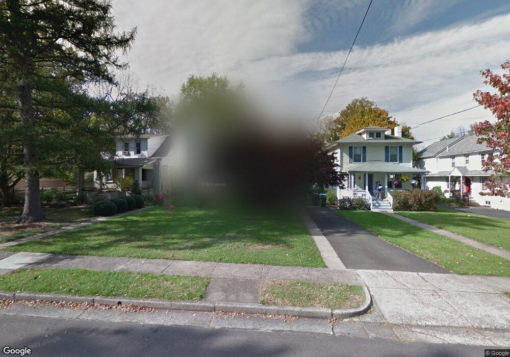
445 Maple Ave Doylestown, PA 18901
Estimated Value: $653,727 - $1,058,000
3
Beds
2
Baths
2,608
Sq Ft
$316/Sq Ft
Est. Value
About This Home
This home is located at 445 Maple Ave, Doylestown, PA 18901 and is currently estimated at $825,432, approximately $316 per square foot. 445 Maple Ave is a home located in Bucks County with nearby schools including Linden El School, Lenape Middle School, and Central Bucks High School-West.
Ownership History
Date
Name
Owned For
Owner Type
Purchase Details
Closed on
Sep 30, 2002
Sold by
Schweiker Charles W and Schweiker Martha E
Bought by
Mullikin George G and Mullikin Cynthia A
Current Estimated Value
Home Financials for this Owner
Home Financials are based on the most recent Mortgage that was taken out on this home.
Original Mortgage
$256,000
Outstanding Balance
$107,483
Interest Rate
6.18%
Estimated Equity
$717,949
Purchase Details
Closed on
Jun 30, 1967
Bought by
Schweiker Charles W and Schweiker Martha E
Create a Home Valuation Report for This Property
The Home Valuation Report is an in-depth analysis detailing your home's value as well as a comparison with similar homes in the area
Home Values in the Area
Average Home Value in this Area
Purchase History
| Date | Buyer | Sale Price | Title Company |
|---|---|---|---|
| Mullikin George G | $320,000 | -- | |
| Schweiker Charles W | -- | -- |
Source: Public Records
Mortgage History
| Date | Status | Borrower | Loan Amount |
|---|---|---|---|
| Open | Mullikin George G | $256,000 | |
| Closed | Mullikin George G | $30,000 |
Source: Public Records
Tax History
| Year | Tax Paid | Tax Assessment Tax Assessment Total Assessment is a certain percentage of the fair market value that is determined by local assessors to be the total taxable value of land and additions on the property. | Land | Improvement |
|---|---|---|---|---|
| 2025 | $4,165 | $23,120 | $6,240 | $16,880 |
| 2024 | $4,165 | $23,120 | $6,240 | $16,880 |
| 2023 | $3,968 | $23,120 | $6,240 | $16,880 |
| 2022 | $3,913 | $23,120 | $6,240 | $16,880 |
| 2021 | $3,870 | $23,120 | $6,240 | $16,880 |
| 2020 | $3,827 | $23,120 | $6,240 | $16,880 |
| 2019 | $3,785 | $23,120 | $6,240 | $16,880 |
| 2018 | $3,739 | $23,120 | $6,240 | $16,880 |
| 2017 | $3,700 | $23,120 | $6,240 | $16,880 |
| 2016 | $3,700 | $23,120 | $6,240 | $16,880 |
| 2015 | -- | $23,120 | $6,240 | $16,880 |
| 2014 | -- | $23,120 | $6,240 | $16,880 |
Source: Public Records
Map
Nearby Homes
- 9 Maple Ln
- 5 Belmont Square
- 607 S Chubb Dr
- 146 E Court St
- 150 Selner Ln
- 169 N Main St
- 102 Clear Springs Ct
- 69 E Oakland Ave
- 110 E Ashland St
- 34 Houk Rd
- 236 Green St
- 6 Edison Ln Unit 1
- 45 Springs Dr
- 190 Decatur St
- 215 N Franklin St
- 807 N Broad St
- 117 Cottonwood Ct
- 195 Lafayette St
- 3660 Buttonwood Dr
- 000 Cherry Ln
Your Personal Tour Guide
Ask me questions while you tour the home.