Estimated Value: $331,069 - $398,000
--
Bed
2
Baths
1,568
Sq Ft
$236/Sq Ft
Est. Value
About This Home
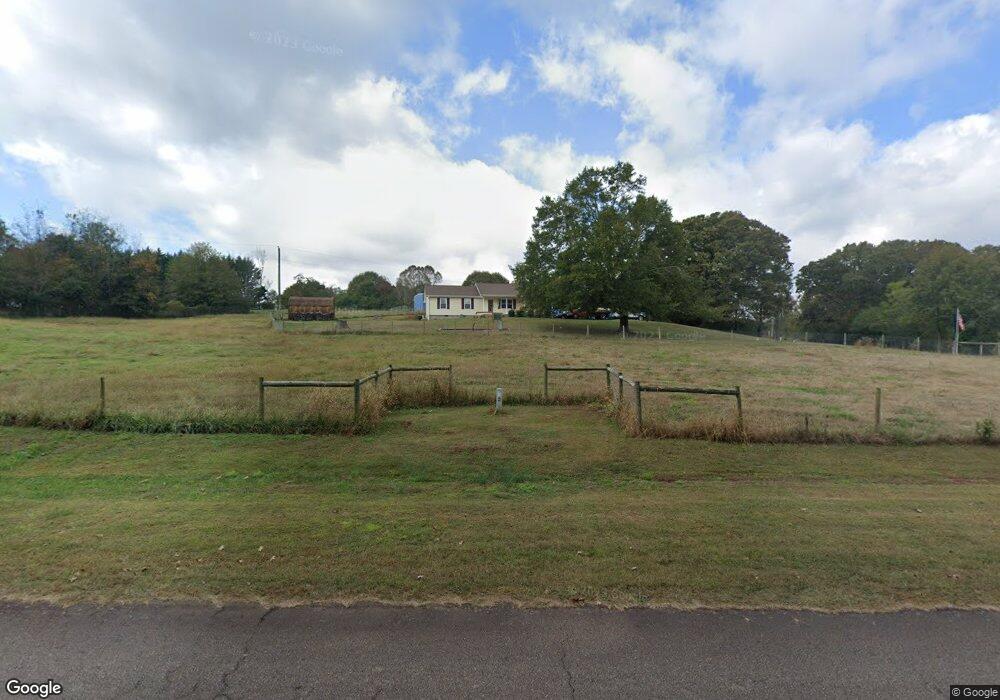
This home is located at 445 Martin Rd, Talmo, GA 30575 and is currently estimated at $369,267, approximately $235 per square foot. 445 Martin Rd is a home located in Jackson County with nearby schools including North Jackson Elementary School, West Jackson Middle School, and Jackson County High School.
Ownership History
Date
Name
Owned For
Owner Type
Purchase Details
Closed on
Feb 28, 2012
Sold by
Ledford Ricky L
Bought by
Lancaster Cary T
Current Estimated Value
Purchase Details
Closed on
Mar 23, 2006
Sold by
Not Provided
Bought by
Ledford Ricky L
Purchase Details
Closed on
Apr 25, 2001
Sold by
Ledford Ricky L
Bought by
Ledford Ricky L
Purchase Details
Closed on
Oct 28, 1996
Bought by
Ledford Ricky L and Ledford Lo
Create a Home Valuation Report for This Property
The Home Valuation Report is an in-depth analysis detailing your home's value as well as a comparison with similar homes in the area
Home Values in the Area
Average Home Value in this Area
Purchase History
| Date | Buyer | Sale Price | Title Company |
|---|---|---|---|
| Lancaster Cary T | $112,500 | -- | |
| Ledford Ricky L | -- | -- | |
| Ledford Ricky L | -- | -- | |
| Ledford Ricky L | $82,500 | -- |
Source: Public Records
Tax History Compared to Growth
Tax History
| Year | Tax Paid | Tax Assessment Tax Assessment Total Assessment is a certain percentage of the fair market value that is determined by local assessors to be the total taxable value of land and additions on the property. | Land | Improvement |
|---|---|---|---|---|
| 2024 | $2,696 | $114,160 | $57,680 | $56,480 |
| 2023 | $2,727 | $108,200 | $57,680 | $50,520 |
| 2022 | $1,618 | $60,040 | $19,600 | $40,440 |
| 2021 | $1,629 | $60,040 | $19,600 | $40,440 |
| 2020 | $1,577 | $53,120 | $19,600 | $33,520 |
| 2019 | $1,601 | $53,120 | $19,600 | $33,520 |
| 2018 | $1,607 | $52,560 | $19,600 | $32,960 |
| 2017 | $1,468 | $47,744 | $17,658 | $30,086 |
| 2016 | $1,477 | $47,744 | $17,658 | $30,086 |
| 2015 | $1,483 | $47,744 | $17,658 | $30,086 |
| 2014 | $1,471 | $47,005 | $17,658 | $29,347 |
| 2013 | -- | $43,950 | $17,658 | $26,291 |
Source: Public Records
Map
Nearby Homes
- 4781 Turning Leaf Dr
- 4418 Leafview Way
- 4661 Turning Leaf Dr
- 4359 Saddlewood Ct
- 4239 Mangum Mill Rd
- 4506 Turning Leaf Dr
- 1620 Pond Fork Church Rd
- Lot 3 Old State Rd
- 259 Cochran Rd
- 4073 Twin Springs Rd
- 3986 Pinedale Ln
- 3738 Harmony Church Rd
- 1689 Old State Rd
- 4274 Pillsbury Rd
- 3300 Athens Hwy
- 4390 Campbell Rd
- Plan 2328 at The Fields of Walnut Creek
- Plan 3629 at The Fields of Walnut Creek
- Plan 2421 at The Fields of Walnut Creek
- Plan 2030 at The Fields of Walnut Creek
- 501 Martin Rd
- 349 Martin Rd
- 451 Martin Rd
- 305 Martin Rd
- 346 Martin Rd
- 346 Martin Rd Unit B
- 455 Hollow Ln
- 563 Martin Rd
- 457 Martin Rd
- 336 Hollow Ln
- 0 Martin Raod
- 775 Martin Rd
- 3576 Old State Rd
- 3593 Old State Rd
- 3380 Old State Rd
- 0 Martin Rd Unit 8272988
- 0 Martin Rd Unit 8253956
- 0 Martin Rd
- 0 Martin Rd Unit 10325970
- 0 Martin Rd Unit 7407257