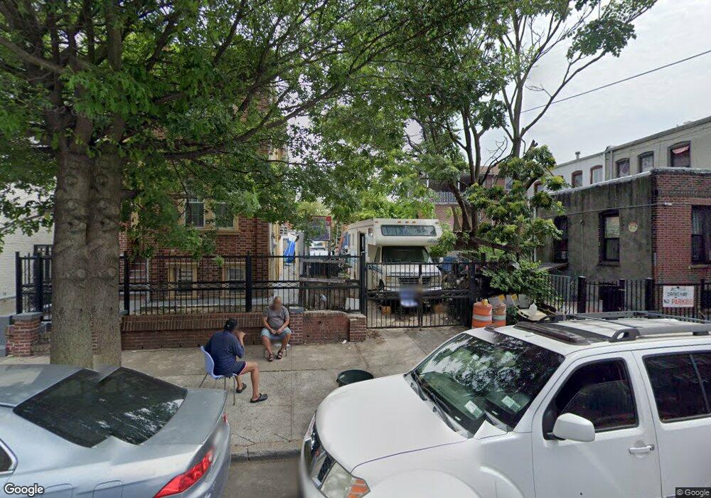
445 Montauk Ave Brooklyn, NY 11208
East New York NeighborhoodEstimated Value: $120,840
--
Bed
--
Bath
300
Sq Ft
$403/Sq Ft
Est. Value
About This Home
This home is located at 445 Montauk Ave, Brooklyn, NY 11208 and is currently estimated at $120,840, approximately $402 per square foot. 445 Montauk Ave is a home located in Kings County with nearby schools including P.S. 202 Ernest S Jenkyns, Our World Neighborhood Charter School 2, and Brownsville Collegiate Charter School.
Ownership History
Date
Name
Owned For
Owner Type
Purchase Details
Closed on
Jan 25, 2023
Sold by
Ferdousi B Realty Llc
Bought by
Uddin Kamal
Current Estimated Value
Purchase Details
Closed on
Apr 7, 2017
Sold by
Satti Realty Llc
Bought by
Ferdousi B Realty Llc
Purchase Details
Closed on
Mar 6, 2017
Sold by
445 Montauk Llc
Bought by
Satti Realty Llc
Purchase Details
Closed on
Mar 3, 2017
Sold by
443 Mont Inc and 443 Mont Llc
Bought by
445 Montauk Llc
Purchase Details
Closed on
Sep 4, 2014
Sold by
Mattis Colinford K
Bought by
445 Montauk Llc
Create a Home Valuation Report for This Property
The Home Valuation Report is an in-depth analysis detailing your home's value as well as a comparison with similar homes in the area
Home Values in the Area
Average Home Value in this Area
Purchase History
| Date | Buyer | Sale Price | Title Company |
|---|---|---|---|
| Uddin Kamal | -- | -- | |
| Ferdousi B Realty Llc | -- | -- | |
| Satti Realty Llc | $95,000 | -- | |
| 445 Montauk Llc | -- | -- | |
| 445 Montauk Llc | $35,000 | -- | |
| 445 Montauk Llc | $35,000 | -- |
Source: Public Records
Tax History Compared to Growth
Tax History
| Year | Tax Paid | Tax Assessment Tax Assessment Total Assessment is a certain percentage of the fair market value that is determined by local assessors to be the total taxable value of land and additions on the property. | Land | Improvement |
|---|---|---|---|---|
| 2025 | $1,439 | $12,360 | $4,800 | $7,560 |
| 2024 | $1,439 | $11,520 | $4,800 | $6,720 |
| 2023 | $1,443 | $11,100 | $4,800 | $6,300 |
| 2022 | $1,271 | $10,260 | $4,800 | $5,460 |
| 2021 | $1,324 | $9,720 | $4,800 | $4,920 |
| 2020 | $1,264 | $9,720 | $4,800 | $4,920 |
| 2019 | $1,249 | $9,000 | $4,800 | $4,200 |
| 2018 | $1,207 | $5,922 | $3,290 | $2,632 |
| 2017 | $1,139 | $5,588 | $3,336 | $2,252 |
| 2016 | $1,054 | $5,272 | $3,486 | $1,786 |
| 2015 | $636 | $4,976 | $3,317 | $1,659 |
| 2014 | $636 | $4,976 | $3,497 | $1,479 |
Source: Public Records
Map
Nearby Homes
- 461 Milford St
- 495 Milford St
- 477 Berriman St
- 517 Milford St
- 459 Berriman St
- 777 Logan St
- 2461 Linden Blvd
- 378 Montauk Ave
- 801 Logan St
- 956 Hegeman Ave
- 738 Shepherd Ave
- 710 Shepherd Ave
- 369 Milford St
- 2476 Linden Blvd
- 368 Milford St
- 372 Atkins Ave
- 685 Essex St
- 1116 Blake Ave
- 586 Milford St
- 369 Berriman St
- 443 Montauk Ave
- 439 Montauk Ave
- 1023 Hegeman Ave
- 1021 Hegeman Ave
- 1025 Hegeman Ave
- 1019 Hegeman Ave
- 1029 Hegeman Ave
- 437 Montauk Ave
- 437 Montauk Ave Unit 2
- 1035 Hegeman Ave
- 468 Milford St
- 464 Milford St
- 433 Montauk Ave
- 1017 Hegeman Ave
- 1037 Hegeman Ave
- 1041 Hegeman Ave
- 466 Milford St
- 429 Montauk Ave
- 1015 Hegeman Ave
- 444 Montauk Ave