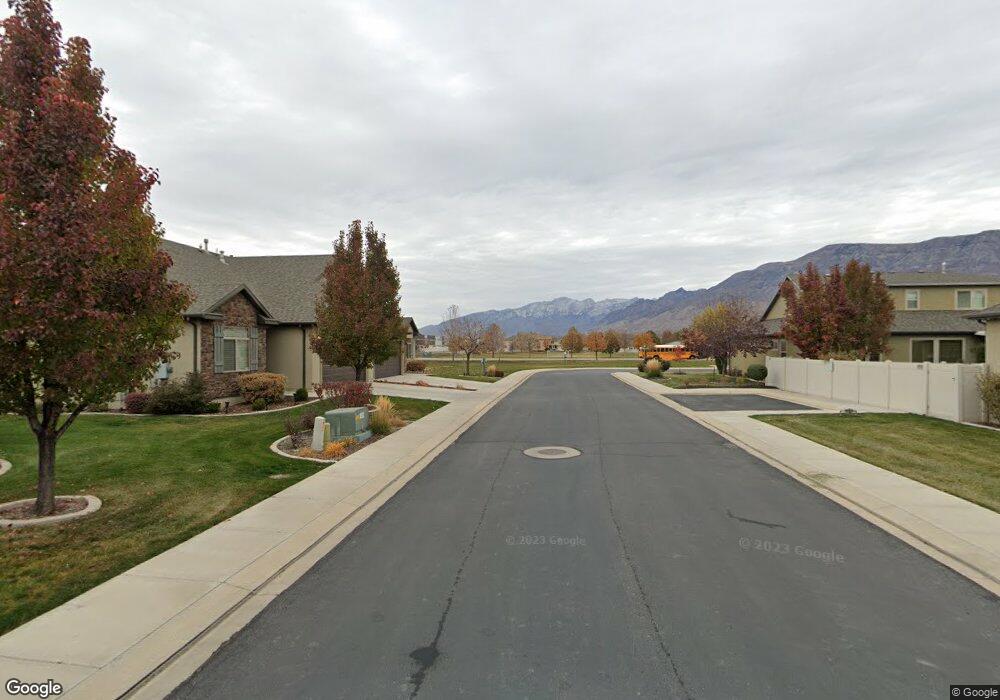
445 N 1670 W Lindon, UT 84042
Estimated Value: $526,000 - $581,000
3
Beds
3
Baths
2,300
Sq Ft
$236/Sq Ft
Est. Value
About This Home
This home is located at 445 N 1670 W, Lindon, UT 84042 and is currently estimated at $543,504, approximately $236 per square foot. 445 N 1670 W is a home located in Utah County with nearby schools including Lindon Elementary School, Oak Canyon Junior High School, and Pleasant Grove High School.
Ownership History
Date
Name
Owned For
Owner Type
Purchase Details
Closed on
Jan 6, 2020
Sold by
Holt Roland Douglas
Bought by
Wilson John William and Sorensen Wilson Shelly Kay
Current Estimated Value
Home Financials for this Owner
Home Financials are based on the most recent Mortgage that was taken out on this home.
Original Mortgage
$142,500
Outstanding Balance
$125,904
Interest Rate
3.6%
Mortgage Type
New Conventional
Estimated Equity
$417,600
Purchase Details
Closed on
Oct 11, 2019
Sold by
Henderson Martha
Bought by
Holt Roland Douglas
Purchase Details
Closed on
Jul 11, 2017
Sold by
Lawrence Kenneth Scott and Lawrence Sherie Sampson
Bought by
Holt Roland Douglas and Henderson Martha
Purchase Details
Closed on
Apr 20, 2017
Sold by
Lawrence Kenneth Scott and Lawrence Sherie Sampson
Bought by
Holt Roland Douglas
Home Financials for this Owner
Home Financials are based on the most recent Mortgage that was taken out on this home.
Original Mortgage
$257,600
Interest Rate
4.21%
Mortgage Type
New Conventional
Purchase Details
Closed on
Nov 26, 2013
Sold by
Lindon Creekside Llc
Bought by
Lawrence Kenneth Scott and Lawrence Sherie Sampson
Home Financials for this Owner
Home Financials are based on the most recent Mortgage that was taken out on this home.
Original Mortgage
$196,805
Interest Rate
4.08%
Mortgage Type
New Conventional
Create a Home Valuation Report for This Property
The Home Valuation Report is an in-depth analysis detailing your home's value as well as a comparison with similar homes in the area
Home Values in the Area
Average Home Value in this Area
Purchase History
| Date | Buyer | Sale Price | Title Company |
|---|---|---|---|
| Wilson John William | -- | Homie Title Insurance Agency | |
| Holt Roland Douglas | -- | First American Title Ins Co | |
| Holt Roland Douglas | -- | None Available | |
| Holt Roland Douglas | -- | None Available | |
| Lawrence Kenneth Scott | -- | United Title Services |
Source: Public Records
Mortgage History
| Date | Status | Borrower | Loan Amount |
|---|---|---|---|
| Open | Wilson John William | $142,500 | |
| Previous Owner | Holt Roland Douglas | $257,600 | |
| Previous Owner | Lawrence Kenneth Scott | $196,805 |
Source: Public Records
Tax History Compared to Growth
Tax History
| Year | Tax Paid | Tax Assessment Tax Assessment Total Assessment is a certain percentage of the fair market value that is determined by local assessors to be the total taxable value of land and additions on the property. | Land | Improvement |
|---|---|---|---|---|
| 2025 | $2,319 | $284,955 | $149,300 | $368,800 |
| 2024 | $2,319 | $285,395 | $0 | $0 |
| 2023 | $2,238 | $295,900 | $0 | $0 |
| 2022 | $2,333 | $297,990 | $0 | $0 |
| 2021 | $1,740 | $335,000 | $135,000 | $200,000 |
| 2020 | $1,767 | $335,000 | $135,000 | $200,000 |
| 2019 | $1,694 | $335,000 | $135,000 | $200,000 |
| 2018 | $1,752 | $326,500 | $135,000 | $191,500 |
| 2017 | $1,715 | $171,325 | $0 | $0 |
| 2016 | $1,616 | $149,380 | $0 | $0 |
| 2015 | $1,618 | $141,350 | $0 | $0 |
| 2014 | $1,620 | $140,250 | $0 | $0 |
Source: Public Records
Map
Nearby Homes
- 337 N Brookview Dr
- 556 N Buffalo Grass Ln
- 566 N Buffalo Grass Ln
- 554 N Buffalo Grass Ln
- 570 N Buffalo Grass Ln
- 564 N Buffalo Grass Ln
- 564 N Buffalo Grass Ln Unit 1250
- 558 N Buffalo Grass Ln
- 575 N Buffalo Grass Ln
- 574 N Cornstalk Ln
- 582 N Cornstalk Ln
- 568 N Buffalo Grass Ln
- 560 N Buffalo Grass Ln
- 605 N Buffalo Grass Ln
- 600 N Cornstalk Ln
- 572 N Buffalo Grass Ln
- 1362 W Valley Dr
- 611 N Briarwood Ln
- 1309 W Sweet Corn Ln
- Kirkwood Farmhouse Plan at Anderson Farms
- 433 N 1670 W
- 457 N 1670 W
- 469 N 1670 W
- 1664 W 430 N
- 1667 W 430 N
- 1657 W 430 N
- 1663 W 480 N Unit 33
- 1663 W 480 N
- 1648 W 430 N
- 1686 W Brookview Dr
- 1721 W 450 N
- 1647 W 480 N Unit 30
- 1647 W 480 N Unit 34
- 1624 W 430 N
- 1674 W Brookview Dr
- 1627 W 430 N Unit 25
- 1627 W 430 N Unit 26
- 1627 W 430 N
- 1629 W 480 N Unit 35
- 1718 W 450 N