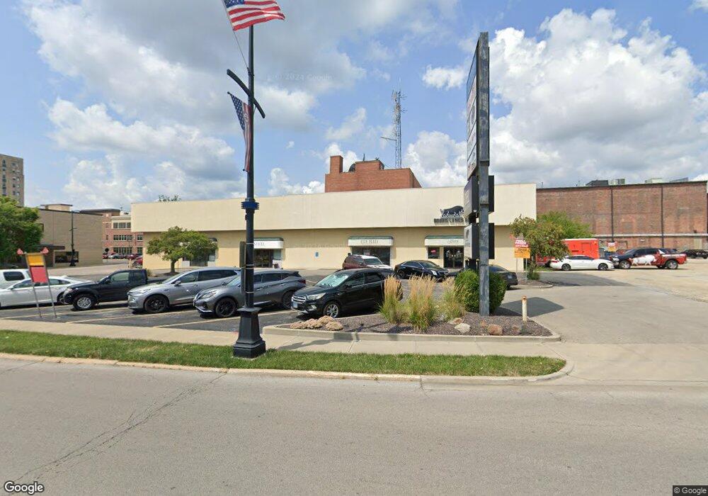
445 N Franklin St Decatur, IL 62523
Estimated Value: $757,882
--
Bed
--
Bath
--
Sq Ft
1.59
Acres
About This Home
This home is located at 445 N Franklin St, Decatur, IL 62523 and is currently estimated at $757,882. 445 N Franklin St is a home located in Macon County with nearby schools including Dennis Lab School, St. Patrick School, and Teen Challenge-Home For Girls.
Ownership History
Date
Name
Owned For
Owner Type
Purchase Details
Closed on
Apr 1, 2021
Sold by
Chicago Title Land Trust Co
Bought by
Decatur City Plaza Llc
Current Estimated Value
Home Financials for this Owner
Home Financials are based on the most recent Mortgage that was taken out on this home.
Original Mortgage
$750,000
Outstanding Balance
$677,159
Interest Rate
3%
Mortgage Type
Commercial
Estimated Equity
$80,723
Create a Home Valuation Report for This Property
The Home Valuation Report is an in-depth analysis detailing your home's value as well as a comparison with similar homes in the area
Home Values in the Area
Average Home Value in this Area
Purchase History
| Date | Buyer | Sale Price | Title Company |
|---|---|---|---|
| Decatur City Plaza Llc | $533,500 | Central Illinois Title |
Source: Public Records
Mortgage History
| Date | Status | Borrower | Loan Amount |
|---|---|---|---|
| Open | Decatur City Plaza Llc | $750,000 |
Source: Public Records
Tax History Compared to Growth
Tax History
| Year | Tax Paid | Tax Assessment Tax Assessment Total Assessment is a certain percentage of the fair market value that is determined by local assessors to be the total taxable value of land and additions on the property. | Land | Improvement |
|---|---|---|---|---|
| 2024 | $31,320 | $323,535 | $67,298 | $256,237 |
| 2023 | $31,060 | $312,082 | $64,916 | $247,166 |
| 2022 | $29,535 | $288,786 | $60,070 | $228,716 |
| 2021 | $27,750 | $269,696 | $56,099 | $213,597 |
| 2020 | $27,347 | $257,176 | $53,495 | $203,681 |
| 2019 | $27,347 | $257,176 | $53,495 | $203,681 |
| 2018 | $27,110 | $258,027 | $53,672 | $204,355 |
| 2017 | $27,749 | $264,915 | $55,105 | $209,810 |
| 2016 | $28,277 | $267,618 | $55,667 | $211,951 |
| 2015 | $26,871 | $262,886 | $54,683 | $208,203 |
| 2014 | $24,951 | $260,284 | $54,142 | $206,142 |
| 2013 | $25,781 | $270,061 | $56,176 | $213,885 |
Source: Public Records
Map
Nearby Homes
- 135 E Prairie Ave Unit 1-4
- 330 W William St
- 281 W Prairie Ave
- 320 W Main St
- 366 W Prairie Ave
- 233 N Edward St
- 422 W William St
- 442 W Prairie Ave
- 452 W Prairie Ave
- 844 N Edward St
- 415 W Green St
- 141 E Packard St
- 440 W Macon St
- 875 N Monroe St
- 450 W Macon St
- 609 W William St
- 717 W Prairie Ave Unit 2
- 254 N Pine St
- 612 W Macon St
- 437 Powers Ln
- 445 N Franklin St Unit A
- 242 E North St
- 222 E North St
- 410 N Water St
- 530 N Water St
- 436 N Main St
- 531 N Water St
- 125 E North St
- 334 N Main St
- 250 N Park St
- 250 N Park St Unit B
- 158 E William St Unit 158 EAST
- 158 E William St
- 150 E William St
- 252 N Park St Unit C
- 252 N Park St Unit B
- 252 N Park St
- 295 N Franklin St
- 236 N Water St
- 565 N Water St