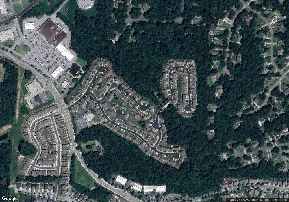
445 Red Coat Ln Woodstock, GA 30188
Estimated Value: $290,000 - $291,322
3
Beds
3
Baths
1,370
Sq Ft
$212/Sq Ft
Est. Value
About This Home
This home is located at 445 Red Coat Ln, Woodstock, GA 30188 and is currently estimated at $290,661, approximately $212 per square foot. 445 Red Coat Ln is a home located in Cherokee County with nearby schools including Johnston Elementary School, Mill Creek Middle School, and River Ridge High School.
Ownership History
Date
Name
Owned For
Owner Type
Purchase Details
Closed on
Nov 21, 2024
Sold by
Lang Maria Alt
Bought by
Lang Francis
Current Estimated Value
Purchase Details
Closed on
Oct 29, 2010
Sold by
Household Realty Corp
Bought by
Lang George and Lang Maria A
Purchase Details
Closed on
Mar 23, 2010
Sold by
Palazesi Richard
Bought by
Household Realty Corp
Purchase Details
Closed on
Dec 2, 2005
Sold by
Palazesi Laura N
Bought by
Palazesi Richard
Home Financials for this Owner
Home Financials are based on the most recent Mortgage that was taken out on this home.
Original Mortgage
$108,800
Interest Rate
8.35%
Purchase Details
Closed on
May 29, 2003
Sold by
Mcbride & Son Homes Ga Llc
Bought by
Palazesi Laura N
Home Financials for this Owner
Home Financials are based on the most recent Mortgage that was taken out on this home.
Original Mortgage
$88,760
Interest Rate
5.79%
Create a Home Valuation Report for This Property
The Home Valuation Report is an in-depth analysis detailing your home's value as well as a comparison with similar homes in the area
Home Values in the Area
Average Home Value in this Area
Purchase History
| Date | Buyer | Sale Price | Title Company |
|---|---|---|---|
| Lang Francis | -- | -- | |
| Lang George | $68,000 | -- | |
| Household Realty Corp | -- | -- | |
| Palazesi Richard | $136,000 | -- | |
| Palazesi Laura N | $111,000 | -- |
Source: Public Records
Mortgage History
| Date | Status | Borrower | Loan Amount |
|---|---|---|---|
| Previous Owner | Palazesi Richard | $108,800 | |
| Previous Owner | Palazesi Laura N | $88,760 |
Source: Public Records
Tax History Compared to Growth
Tax History
| Year | Tax Paid | Tax Assessment Tax Assessment Total Assessment is a certain percentage of the fair market value that is determined by local assessors to be the total taxable value of land and additions on the property. | Land | Improvement |
|---|---|---|---|---|
| 2024 | $3,348 | $112,256 | $22,000 | $90,256 |
| 2023 | $3,312 | $109,032 | $22,000 | $87,032 |
| 2022 | $1,999 | $85,804 | $18,400 | $67,404 |
| 2021 | $1,810 | $72,140 | $15,600 | $56,540 |
| 2020 | $2,026 | $60,272 | $13,800 | $46,472 |
| 2019 | $1,446 | $57,520 | $12,400 | $45,120 |
| 2018 | $1,818 | $53,120 | $11,600 | $41,520 |
| 2017 | $1,623 | $120,500 | $10,000 | $38,200 |
| 2016 | $1,142 | $110,900 | $9,200 | $35,160 |
| 2015 | $1,025 | $98,700 | $6,800 | $32,680 |
| 2014 | $885 | $85,000 | $6,800 | $27,200 |
Source: Public Records
Map
Nearby Homes
- 531 Fox Creek Crossing
- 5541 Old Highway 5
- 501 Ruths Dr
- 306 Serenity Way
- 414 Ruths Blvd
- 505 Lost Creek Dr
- 224 Stone Park Dr
- 364 Aldene Ct
- 614 Springharbor Dr
- 252 Stone Park Dr
- 145 Archie Way
- 149 Archie Way
- 161 Stoney Creek Pkwy
- 145 Springwater Trace
- 151 Springwater Trace
- 490 Payne Rd
- 214 Valley Brook Dr
- 544 Ridge View Crossing
- 447 Red Coat Ln
- 443 Red Coat Ln
- 449 Red Coat Ln
- 441 Red Coat Ln
- 439 Red Coat Ln
- 451 Red Coat Ln
- 451 Red Coat Ln Unit 451
- 437 Red Coat Ln
- 437 Red Coat Ln Unit 437
- 453 Red Coat Ln Unit 453
- 453 Red Coat Ln
- 453 Red Coat Ln
- 428 Red Coat Ln
- 430 Red Coat Ln
- 426 Red Coat Ln
- 426 Red Coat Ln Unit 426
- 455 Red Coat Ln
- 435 Red Coat Ln
- 424 Red Coat Ln
- 440 Red Coat Ln
