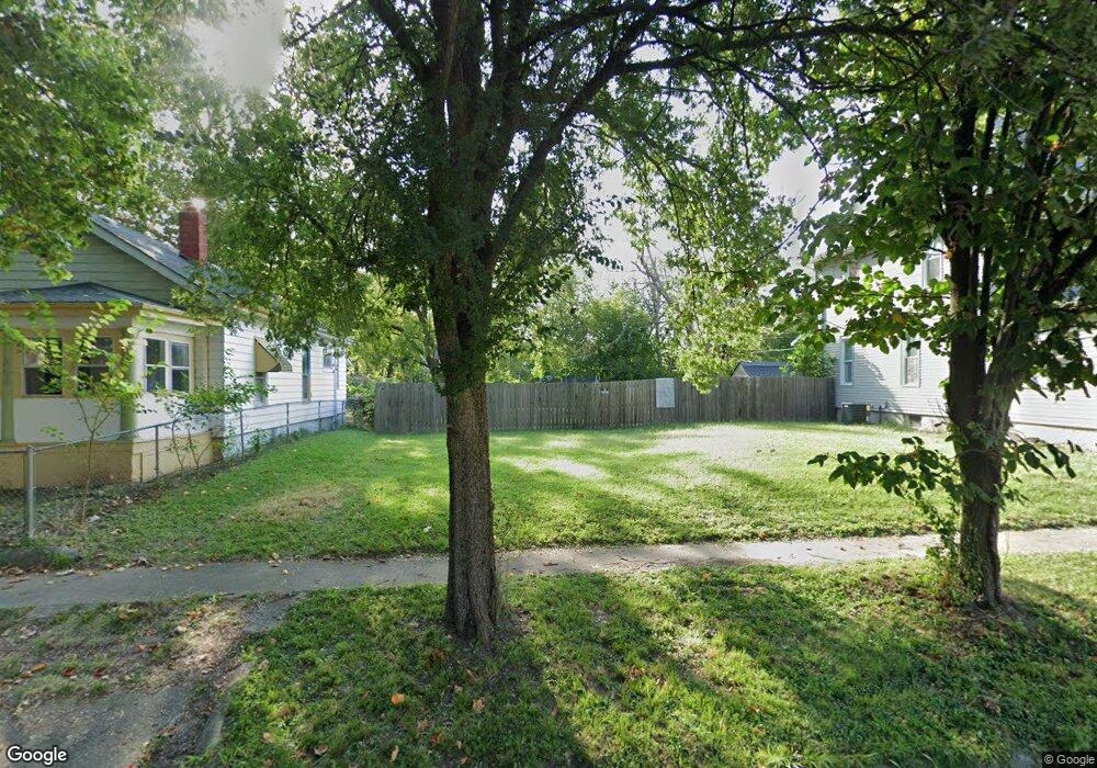
445 S Crea St Decatur, IL 62522
Near West NeighborhoodEstimated Value: $59,000 - $61,000
3
Beds
1
Bath
1,352
Sq Ft
$44/Sq Ft
Est. Value
About This Home
This home is located at 445 S Crea St, Decatur, IL 62522 and is currently estimated at $60,000, approximately $44 per square foot. 445 S Crea St is a home located in Macon County with nearby schools including Dennis Lab School, St. Patrick School, and Teen Challenge-Home For Girls.
Ownership History
Date
Name
Owned For
Owner Type
Purchase Details
Closed on
Sep 27, 2012
Sold by
Moses Dow F and Moses Deborah
Bought by
Champion Celia
Current Estimated Value
Purchase Details
Closed on
Apr 26, 2006
Sold by
First National Bank Of Nevada
Bought by
Moses Dow and Moses Deborah
Purchase Details
Closed on
Aug 5, 2005
Sold by
Federal National Mortgage Association
Bought by
Emc Mortgage Corp
Purchase Details
Closed on
Jan 18, 2005
Sold by
Ruth Statoh Ruth P and Ruth Statoh
Bought by
Federal National Mortgage Association
Purchase Details
Closed on
Jun 1, 2002
Create a Home Valuation Report for This Property
The Home Valuation Report is an in-depth analysis detailing your home's value as well as a comparison with similar homes in the area
Home Values in the Area
Average Home Value in this Area
Purchase History
| Date | Buyer | Sale Price | Title Company |
|---|---|---|---|
| Champion Celia | -- | None Available | |
| Moses Dow | $7,500 | None Available | |
| Emc Mortgage Corp | -- | None Available | |
| Federal National Mortgage Association | -- | None Available | |
| -- | $92,000 | -- |
Source: Public Records
Tax History Compared to Growth
Tax History
| Year | Tax Paid | Tax Assessment Tax Assessment Total Assessment is a certain percentage of the fair market value that is determined by local assessors to be the total taxable value of land and additions on the property. | Land | Improvement |
|---|---|---|---|---|
| 2024 | $157 | $1,618 | $1,618 | $0 |
| 2023 | $155 | $1,561 | $1,561 | $0 |
| 2022 | $21 | $206 | $206 | $0 |
| 2021 | $20 | $193 | $193 | $0 |
| 2020 | $20 | $184 | $184 | $0 |
| 2019 | $20 | $184 | $184 | $0 |
| 2018 | $19 | $185 | $185 | $0 |
| 2017 | $20 | $190 | $190 | $0 |
| 2016 | $20 | $192 | $192 | $0 |
| 2015 | $19 | $189 | $189 | $0 |
| 2014 | $18 | $187 | $187 | $0 |
| 2013 | $19 | $194 | $194 | $0 |
Source: Public Records
Map
Nearby Homes
- 628 W Forest Ave
- 617 W Decatur St
- 650 S Crea St
- 612 W Macon St
- 657 W Wood St
- 899 W Main St
- 437 Powers Ln
- 712 W Main St
- 1005 W Main St
- 530 Powers Ln
- 640 W Main St
- 450 W Macon St
- 440 W Macon St
- 580 Powers Ln
- 254 N Pine St
- 958 W William St
- 452 W Prairie Ave
- 636 S Sycamore St
- 320 W Main St
- 233 N Edward St
- 455 S Crea St
- 441 S Crea St
- 444 S Crea St
- 452 S Crea St
- 460 S Crea St
- 463 S Crea St
- 468 S Crea St
- 440 S Crea St
- 482 S Crea St
- 495 S Crea St
- 494 S Crea St
- 825 W Decatur St
- 836 W Forest Ave
- 803 W Decatur St
- 837 W Decatur St
- 404 S Crea St
- 735 W Decatur St
- 771 W Decatur St
- 761 W Decatur St
- 780 W Forest Ave