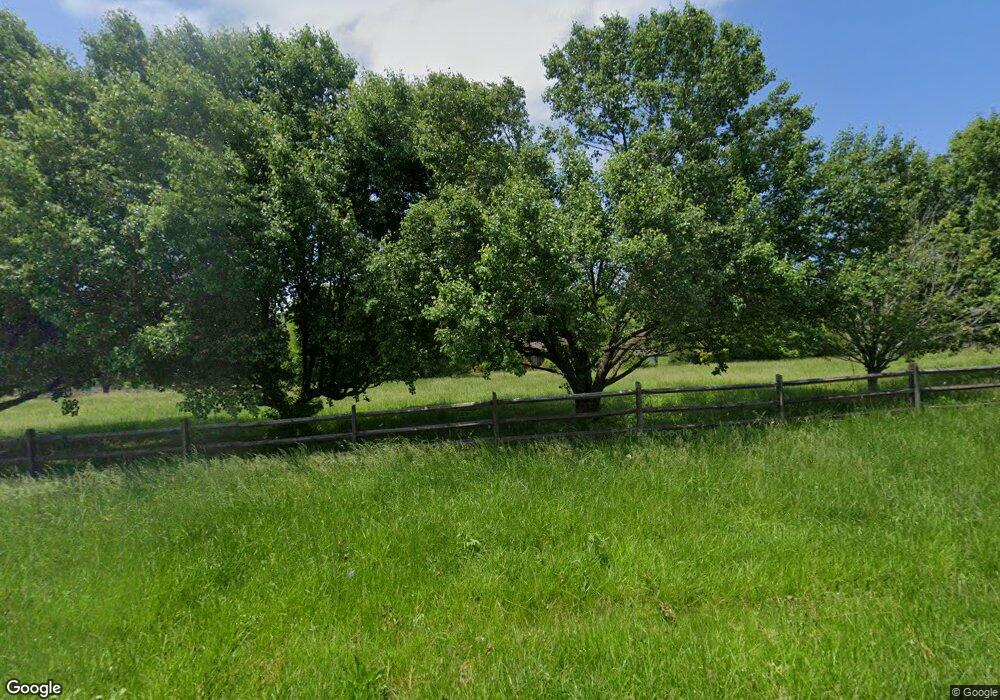
4450 Pittstown Rd Hickory, NC 28602
South Hickory NeighborhoodEstimated Value: $549,436 - $711,000
3
Beds
3
Baths
2,325
Sq Ft
$265/Sq Ft
Est. Value
About This Home
This home is located at 4450 Pittstown Rd, Hickory, NC 28602 and is currently estimated at $616,609, approximately $265 per square foot. 4450 Pittstown Rd is a home located in Catawba County with nearby schools including Fred T. Foard High School, Blackburn Elementary School, and Jacobs Fork Middle School.
Ownership History
Date
Name
Owned For
Owner Type
Purchase Details
Closed on
Feb 15, 2007
Sold by
White Jessie Michael and White Kimberly Renee
Bought by
Britt Gerald W and Britt Valerie S
Current Estimated Value
Purchase Details
Closed on
Mar 30, 2005
Sold by
Jenkins Scott Douglas and Jenkins Judith
Bought by
White Jessie Michael and White Kimberly Renne
Home Financials for this Owner
Home Financials are based on the most recent Mortgage that was taken out on this home.
Original Mortgage
$259,900
Interest Rate
5.57%
Mortgage Type
Fannie Mae Freddie Mac
Create a Home Valuation Report for This Property
The Home Valuation Report is an in-depth analysis detailing your home's value as well as a comparison with similar homes in the area
Home Values in the Area
Average Home Value in this Area
Purchase History
| Date | Buyer | Sale Price | Title Company |
|---|---|---|---|
| Britt Gerald W | $345,000 | None Available | |
| White Jessie Michael | $330,000 | None Available |
Source: Public Records
Mortgage History
| Date | Status | Borrower | Loan Amount |
|---|---|---|---|
| Previous Owner | White Jessie Michael | $259,900 |
Source: Public Records
Tax History Compared to Growth
Tax History
| Year | Tax Paid | Tax Assessment Tax Assessment Total Assessment is a certain percentage of the fair market value that is determined by local assessors to be the total taxable value of land and additions on the property. | Land | Improvement |
|---|---|---|---|---|
| 2025 | $2,484 | $513,200 | $48,800 | $464,400 |
| 2024 | $2,484 | $513,200 | $48,800 | $464,400 |
| 2023 | $2,420 | $513,200 | $48,800 | $464,400 |
| 2022 | $2,278 | $342,500 | $48,800 | $293,700 |
| 2021 | $2,215 | $342,500 | $48,800 | $293,700 |
| 2020 | $2,215 | $342,500 | $0 | $0 |
| 2019 | $2,215 | $342,500 | $0 | $0 |
| 2018 | $2,148 | $330,400 | $47,800 | $282,600 |
| 2017 | $2,148 | $0 | $0 | $0 |
| 2016 | $2,148 | $0 | $0 | $0 |
| 2015 | $1,995 | $330,370 | $47,800 | $282,570 |
| 2014 | $1,995 | $338,200 | $52,300 | $285,900 |
Source: Public Records
Map
Nearby Homes
- 1434 Mammoth Rd
- 1443 Mammoth Rd
- 1158 Waterford Dr
- 4547 Kings Ct
- 1263 Waterford Dr
- 3940 River Rd
- 1276 Hidden Creek Cir
- 4063 Rainbow Hills Dr
- 4168 Forest Point Dr
- 3884 Snider Cir
- 3808 River Rd
- 4896 Birch Cir
- Darwin Plan at Zion Springs
- Aisle Plan at Zion Springs
- Elston Plan at Zion Springs
- Sanford Plan at Zion Springs
- Taylor Plan at Zion Springs
- Robie Plan at Zion Springs
- 1439 Mammoth Rd
- 1435 Mammoth Rd
- 4385 Pittstown Rd
- 1961 Zion Church Rd
- 1175 Cline Yoder Rd
- 2007 Zion Church Rd
- 1953 Zion Church Rd
- 1947 Zion Church Rd
- 2025 Zion Church Rd
- 2002 Zion Church Rd
- 2029 Zion Church Rd
- 1982 Zion Church Rd
- 1966 Zion Church Rd
- 2012 Zion Church Rd
- 2048 Zion Church Rd
- 2016 Zion Church Rd
- 2045 Zion Church Rd
- 2032 Zion Church Rd
- 1950 Zion Church Rd
- 1950 Zion Church Rd
- 0 Pittstown Rd
- 1151 Cline Yoder Rd
