44508 Homestead Rd Elizabeth, CO 80107
Estimated Value: $639,544 - $687,000
3
Beds
2
Baths
1,501
Sq Ft
$444/Sq Ft
Est. Value
About This Home
This home is located at 44508 Homestead Rd, Elizabeth, CO 80107 and is currently estimated at $666,848, approximately $444 per square foot. 44508 Homestead Rd is a home located in Elbert County with nearby schools including Elizabeth High School.
Ownership History
Date
Name
Owned For
Owner Type
Purchase Details
Closed on
Nov 18, 2005
Sold by
Stanley Anne M
Bought by
Stanley Anne M and Stanley James G
Current Estimated Value
Home Financials for this Owner
Home Financials are based on the most recent Mortgage that was taken out on this home.
Original Mortgage
$291,200
Interest Rate
6.06%
Mortgage Type
New Conventional
Purchase Details
Closed on
Apr 22, 2003
Sold by
Stanley Anne M and Stanley James G
Bought by
Stanley Anne M
Home Financials for this Owner
Home Financials are based on the most recent Mortgage that was taken out on this home.
Original Mortgage
$62,000
Interest Rate
5.42%
Mortgage Type
Credit Line Revolving
Purchase Details
Closed on
Nov 9, 2001
Sold by
Stanley James G and Stanley Ann M
Bought by
Stanley James G and Stanley Anne M
Home Financials for this Owner
Home Financials are based on the most recent Mortgage that was taken out on this home.
Original Mortgage
$212,000
Interest Rate
6.54%
Create a Home Valuation Report for This Property
The Home Valuation Report is an in-depth analysis detailing your home's value as well as a comparison with similar homes in the area
Home Values in the Area
Average Home Value in this Area
Purchase History
| Date | Buyer | Sale Price | Title Company |
|---|---|---|---|
| Stanley Anne M | -- | Chicago Title Co | |
| Stanley Anne M | -- | Vista Title Llc | |
| Stanley James G | -- | First American Heritage Titl |
Source: Public Records
Mortgage History
| Date | Status | Borrower | Loan Amount |
|---|---|---|---|
| Closed | Stanley Anne M | $291,200 | |
| Closed | Stanley Anne M | $62,000 | |
| Closed | Stanley James G | $212,000 |
Source: Public Records
Tax History Compared to Growth
Tax History
| Year | Tax Paid | Tax Assessment Tax Assessment Total Assessment is a certain percentage of the fair market value that is determined by local assessors to be the total taxable value of land and additions on the property. | Land | Improvement |
|---|---|---|---|---|
| 2024 | $2,739 | $39,870 | $7,970 | $31,900 |
| 2023 | $2,739 | $39,870 | $7,970 | $31,900 |
| 2022 | $2,046 | $29,850 | $8,690 | $21,160 |
| 2021 | $2,090 | $30,700 | $8,940 | $21,760 |
| 2020 | $2,482 | $27,320 | $5,010 | $22,310 |
| 2019 | $2,484 | $27,320 | $5,010 | $22,310 |
| 2018 | $2,280 | $24,280 | $3,600 | $20,680 |
| 2017 | $2,283 | $24,280 | $3,600 | $20,680 |
| 2016 | $1,601 | $20,340 | $3,580 | $16,760 |
| 2015 | $1,260 | $20,340 | $3,580 | $16,760 |
| 2014 | $1,260 | $15,450 | $3,850 | $11,600 |
Source: Public Records
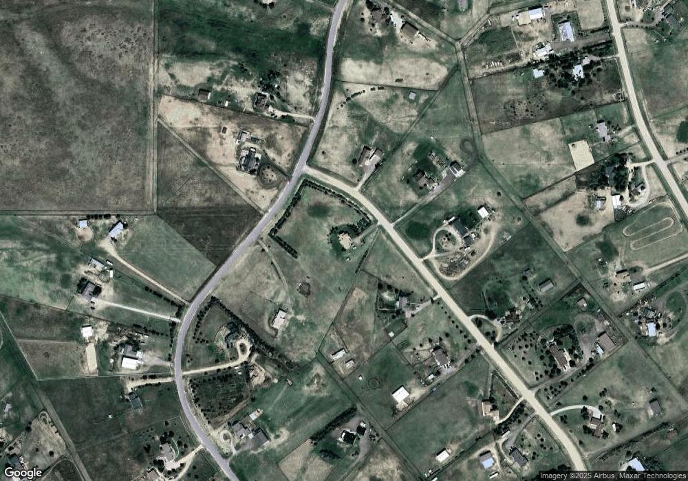
Map
Nearby Homes
- 8692 Lariat Loop
- 4 Winners Cir Unit 4
- 0 Last Dart Rd Unit 5 REC4495885
- 0 Last Dart Rd Unit Lot 8 REC5508509
- 0 Last Dart Rd Unit Lot 6 REC4599089
- 0 Last Dart Rd Unit 3 REC4285345
- 0 Last Dart Rd Unit 13 REC6037465
- 0 Last Dart Rd Unit 10 REC4221010
- 0 Last Dart Rd Unit Lot 9 REC9962097
- 0 Last Dart Rd Unit 12 REC8361988
- 0 Last Dart Rd Unit 11 REC9530974
- 0 Last Dart Rd Unit Lot 7 REC6943524
- 0 Last Dart Rd Unit 4 REC9323581
- Tract 4 County Road 29
- 45523 Sun Country Dr
- 7498 Patrick Trail
- 42950 Colonial Trail
- 42952 Colonial Trail
- 42954 Colonial Trail
- 42956 Colonial Trail
- 44501 Homestead Rd
- 44454 Homestead Rd
- 8370 Sun Country Dr
- 8469 Sun Country Dr
- 44502 Homestead Rd
- 8348 Sun Country Dr
- 8427 Sun Country Dr
- 8481 Sun Country Dr
- 44426 Homestead Rd
- 44447 Homestead Rd
- 8254 Sun Country Dr
- 8286 Sun Country Dr
- 44328 Homestead Rd
- 8496 Sun Country Dr
- 8395 Sun Country Dr
- 8331 Sun Country Dr
- 44419 Homestead Rd
- 8523 Sun Country Dr
- 44550 Lariat Trail
- 8353 Sun Country Dr