4451 Barto Rd Waldron, AR 72958
Estimated Value: $47,037
Studio
--
Bath
--
Sq Ft
706,979
Sq Ft Lot
About This Home
This home is located at 4451 Barto Rd, Waldron, AR 72958 and is currently estimated at $47,037. 4451 Barto Rd is a home located in Scott County with nearby schools including Waldron Elementary School, Waldron Middle School, and Waldron High School.
Ownership History
Date
Name
Owned For
Owner Type
Purchase Details
Closed on
Jul 8, 2019
Sold by
Slaten Jeremy and Slaten Kelly
Bought by
Jones Emmett R and Jones Frances A
Current Estimated Value
Home Financials for this Owner
Home Financials are based on the most recent Mortgage that was taken out on this home.
Original Mortgage
$35,000
Outstanding Balance
$20,039
Interest Rate
0.32%
Mortgage Type
New Conventional
Estimated Equity
$26,998
Purchase Details
Closed on
Nov 8, 2001
Bought by
Slaten Donald and Slaten Sherry
Purchase Details
Closed on
Aug 6, 2001
Bought by
Slaten James and Slaten Shana
Purchase Details
Closed on
Oct 17, 1963
Bought by
Slaten Ej and Slaten Mary
Create a Home Valuation Report for This Property
The Home Valuation Report is an in-depth analysis detailing your home's value as well as a comparison with similar homes in the area
Purchase History
| Date | Buyer | Sale Price | Title Company |
|---|---|---|---|
| Jones Emmett R | $31,000 | Scott Cnty Title Corp | |
| Slaten Donald | -- | -- | |
| Slaten James | -- | -- | |
| Slaten Ej | $3,000 | -- |
Source: Public Records
Mortgage History
| Date | Status | Borrower | Loan Amount |
|---|---|---|---|
| Open | Jones Emmett R | $35,000 |
Source: Public Records
Tax History
| Year | Tax Paid | Tax Assessment Tax Assessment Total Assessment is a certain percentage of the fair market value that is determined by local assessors to be the total taxable value of land and additions on the property. | Land | Improvement |
|---|---|---|---|---|
| 2025 | $23 | $570 | $570 | $0 |
| 2024 | $23 | $570 | $570 | $0 |
| 2023 | $23 | $570 | $570 | $0 |
| 2022 | $23 | $570 | $570 | $0 |
| 2021 | $23 | $570 | $570 | $0 |
| 2020 | $22 | $580 | $580 | $0 |
| 2019 | $23 | $580 | $580 | $0 |
| 2018 | $27 | $660 | $580 | $80 |
| 2017 | $25 | $580 | $580 | $0 |
| 2015 | -- | $700 | $620 | $80 |
| 2014 | -- | $700 | $620 | $80 |
| 2013 | -- | $700 | $620 | $80 |
Source: Public Records
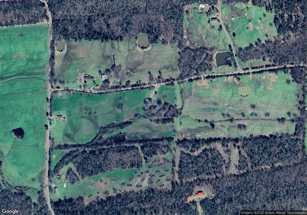
Map
Nearby Homes
- 4682 Barto Rd
- 2660 Johnny Tate Rd
- 1 Poteau Mountain Rd
- 2541 N Main St
- 1347 White Oak Rd
- Lot 23 Grandstaff Ave
- Lot 15 Grandstaff Ave
- Lot 4 Grandstaff Ave
- Lot 2 Grandstaff Ave
- Lot 14 Grandstaff Ave
- Lot 1 Grandstaff Ave
- 1 U S Highway 71
- 176 Highway 71 N
- 772 N Main St
- 1342 N Main St
- 702 Nelson Loop
- 0000 U S Highway 71
- 0000 Highway 71
- 124 City Lake Rd
- 1 Highway 71
- 4146 Barto Rd
- 3888 Red Bud Rd
- 3676 Red Bud Rd
- 4200 W Highway 28
- 4319 W Highway 28
- 4330 Redbud Rd
- 4539 W Highway 28
- 4099 W Highway 28
- 3644 W Highway 28
- 3610 Barto Rd
- 3501 Barto Rd
- 4117 Terry Ln
- 4640 Redbud Rd
- 3583 Johnny Tate Rd
- 3330 W Highway 28
- 3950 Terry Ln
- 3134 Johnny Tate Rd
- 3242 Johnny Tate Rd
- 3465 Johnny Tate Rd
- 3147 Barto Rd
Your Personal Tour Guide
Ask me questions while you tour the home.