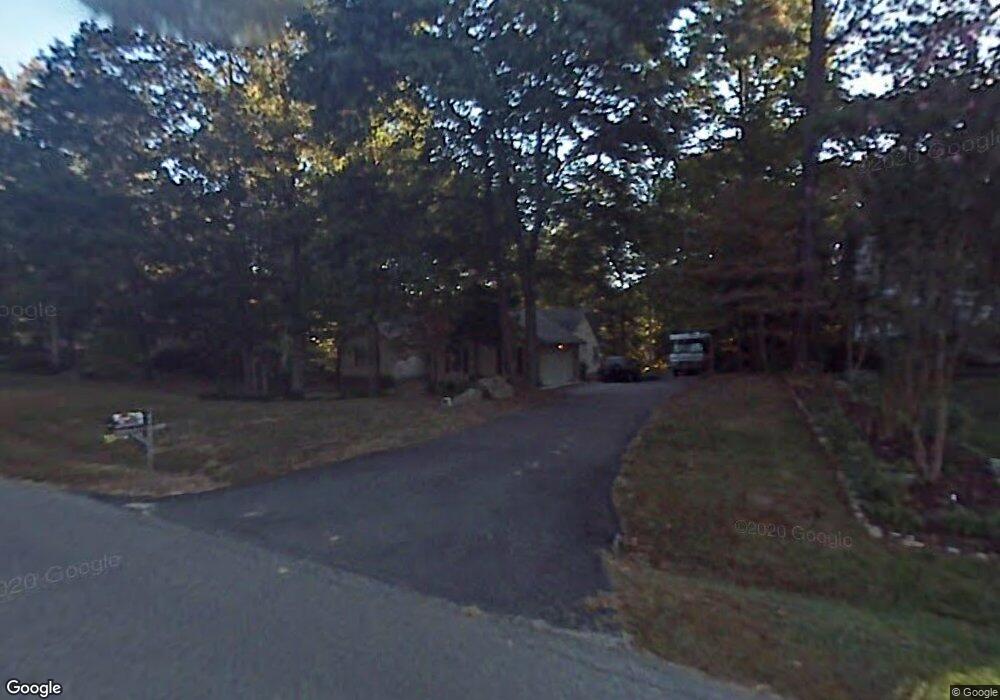
4451 Briarwick Dr North Chesterfield, VA 23236
Estimated Value: $399,000 - $462,000
3
Beds
2
Baths
2,276
Sq Ft
$189/Sq Ft
Est. Value
About This Home
This home is located at 4451 Briarwick Dr, North Chesterfield, VA 23236 and is currently estimated at $430,159, approximately $188 per square foot. 4451 Briarwick Dr is a home located in Chesterfield County with nearby schools including Jacobs Road Elementary School, Manchester Middle School, and Clover Hill High.
Ownership History
Date
Name
Owned For
Owner Type
Purchase Details
Closed on
May 9, 2002
Bought by
Lang Earlene D
Current Estimated Value
Home Financials for this Owner
Home Financials are based on the most recent Mortgage that was taken out on this home.
Original Mortgage
$68,500
Outstanding Balance
$29,433
Interest Rate
7.18%
Mortgage Type
New Conventional
Estimated Equity
$400,726
Create a Home Valuation Report for This Property
The Home Valuation Report is an in-depth analysis detailing your home's value as well as a comparison with similar homes in the area
Home Values in the Area
Average Home Value in this Area
Purchase History
| Date | Buyer | Sale Price | Title Company |
|---|---|---|---|
| Lang Earlene D | -- | -- |
Source: Public Records
Mortgage History
| Date | Status | Borrower | Loan Amount |
|---|---|---|---|
| Open | Lang Earlene D | $68,500 |
Source: Public Records
Tax History Compared to Growth
Tax History
| Year | Tax Paid | Tax Assessment Tax Assessment Total Assessment is a certain percentage of the fair market value that is determined by local assessors to be the total taxable value of land and additions on the property. | Land | Improvement |
|---|---|---|---|---|
| 2025 | $3,802 | $424,400 | $80,000 | $344,400 |
| 2024 | $3,802 | $412,300 | $80,000 | $332,300 |
| 2023 | $3,358 | $369,000 | $74,000 | $295,000 |
| 2022 | $3,150 | $342,400 | $64,000 | $278,400 |
| 2021 | $3,060 | $319,500 | $64,000 | $255,500 |
| 2020 | $2,866 | $301,700 | $64,000 | $237,700 |
| 2019 | $2,738 | $288,200 | $59,000 | $229,200 |
| 2018 | $2,675 | $281,600 | $59,000 | $222,600 |
| 2017 | $2,651 | $276,100 | $59,000 | $217,100 |
| 2016 | $2,535 | $264,100 | $59,000 | $205,100 |
| 2015 | $2,535 | $264,100 | $59,000 | $205,100 |
| 2014 | $2,460 | $256,300 | $59,000 | $197,300 |
Source: Public Records
Map
Nearby Homes
- 3900 Dunraven Rd
- 3910 Oxbridge Rd
- 9165 Chatham Grove Ln
- 5400 Claridge Dr
- 4110 Fordham Rd
- 10556 Braden Woods Ct
- 4165 Ambergrove Ave
- 4141 Ambergrove Ave
- 4129 Ambergrove Ave
- 4125 Ambergrove Ave
- 4137 Ambergrove Ave
- 5306 Qualla Rd
- 4121 Ambergrove Ave
- 9150 Gregory Dr
- 5312 Qualla Rd
- 5313 Qualla Rd
- 5318 Qualla Rd
- Stanley Plan at Lawson Mill
- Caldwell Plan at Lawson Mill
- Oxford Plan at Lawson Mill
- 4461 Briarwick Dr
- 4441 Briarwick Dr
- 4414 Ambleside Dr
- 4501 Briarwick Dr
- 4606 Gregorys Charter Ct
- 4450 Briarwick Dr
- 4431 Briarwick Dr
- 4600 Gregorys Charter Ct
- 4460 Briarwick Dr
- 4440 Briarwick Dr
- 4412 Ambleside Dr
- 4416 Ambleside Dr
- 4500 Briarwick Dr
- 4430 Briarwick Dr
- 4507 Briarwick Dr
- 4612 Gregorys Charter Ct
- 4421 Briarwick Dr
- 4601 Gregorys Charter Ct
- 4424 Briarwick Dr
- 4221 Dunraven Rd
