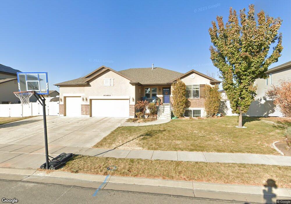
4454 W 5950 S Hooper, UT 84315
Estimated Value: $585,817 - $627,000
3
Beds
3
Baths
3,727
Sq Ft
$163/Sq Ft
Est. Value
About This Home
This home is located at 4454 W 5950 S, Hooper, UT 84315 and is currently estimated at $607,454, approximately $162 per square foot. 4454 W 5950 S is a home located in Weber County with nearby schools including Freedom School, Roy Junior High School, and Roy High School.
Ownership History
Date
Name
Owned For
Owner Type
Purchase Details
Closed on
Dec 16, 2008
Sold by
Woodside Wildwood Llc
Bought by
Terry Bryan R and Terry Michonne J
Current Estimated Value
Home Financials for this Owner
Home Financials are based on the most recent Mortgage that was taken out on this home.
Original Mortgage
$203,680
Outstanding Balance
$134,778
Interest Rate
6.16%
Mortgage Type
Purchase Money Mortgage
Estimated Equity
$472,676
Create a Home Valuation Report for This Property
The Home Valuation Report is an in-depth analysis detailing your home's value as well as a comparison with similar homes in the area
Home Values in the Area
Average Home Value in this Area
Purchase History
| Date | Buyer | Sale Price | Title Company |
|---|---|---|---|
| Terry Bryan R | -- | Us Title Utah |
Source: Public Records
Mortgage History
| Date | Status | Borrower | Loan Amount |
|---|---|---|---|
| Open | Terry Bryan R | $203,680 |
Source: Public Records
Tax History Compared to Growth
Tax History
| Year | Tax Paid | Tax Assessment Tax Assessment Total Assessment is a certain percentage of the fair market value that is determined by local assessors to be the total taxable value of land and additions on the property. | Land | Improvement |
|---|---|---|---|---|
| 2025 | $3,492 | $559,310 | $196,356 | $362,954 |
| 2024 | $3,535 | $317,899 | $107,995 | $209,904 |
| 2023 | $3,390 | $301,950 | $107,874 | $194,076 |
| 2022 | $3,494 | $321,200 | $83,095 | $238,105 |
| 2021 | $2,961 | $456,000 | $105,965 | $350,035 |
| 2020 | $2,807 | $397,000 | $100,971 | $296,029 |
| 2019 | $2,783 | $372,000 | $100,654 | $271,346 |
| 2018 | $2,654 | $338,000 | $65,619 | $272,381 |
| 2017 | $2,517 | $309,000 | $65,543 | $243,457 |
| 2016 | $2,273 | $149,508 | $35,936 | $113,572 |
| 2015 | $2,186 | $141,289 | $33,125 | $108,164 |
| 2014 | $1,967 | $122,522 | $27,641 | $94,881 |
Source: Public Records
Map
Nearby Homes
- 462 S 4450 W Unit 504
- 4438 W 6025 S
- 3186 W 2600 N
- 4276 W 6025 S
- 3016 W 2650 N
- 2571 N 3200 W
- 3028 W 2600 N
- 2616 N 3020 W
- 2542 N 3300 W
- 4632 W 5750 S
- 4164 W 5950 S
- 2444 N Stanley Crane Dr
- 5619 S 4525 W
- 5778 S 4075 W
- 339 N 3250 W Unit 12
- 4909 W 5850 S
- 2592 W 2650 N
- 4700 W 5500 S
- 5644 S 4075 W
- 5610 S 4075 W