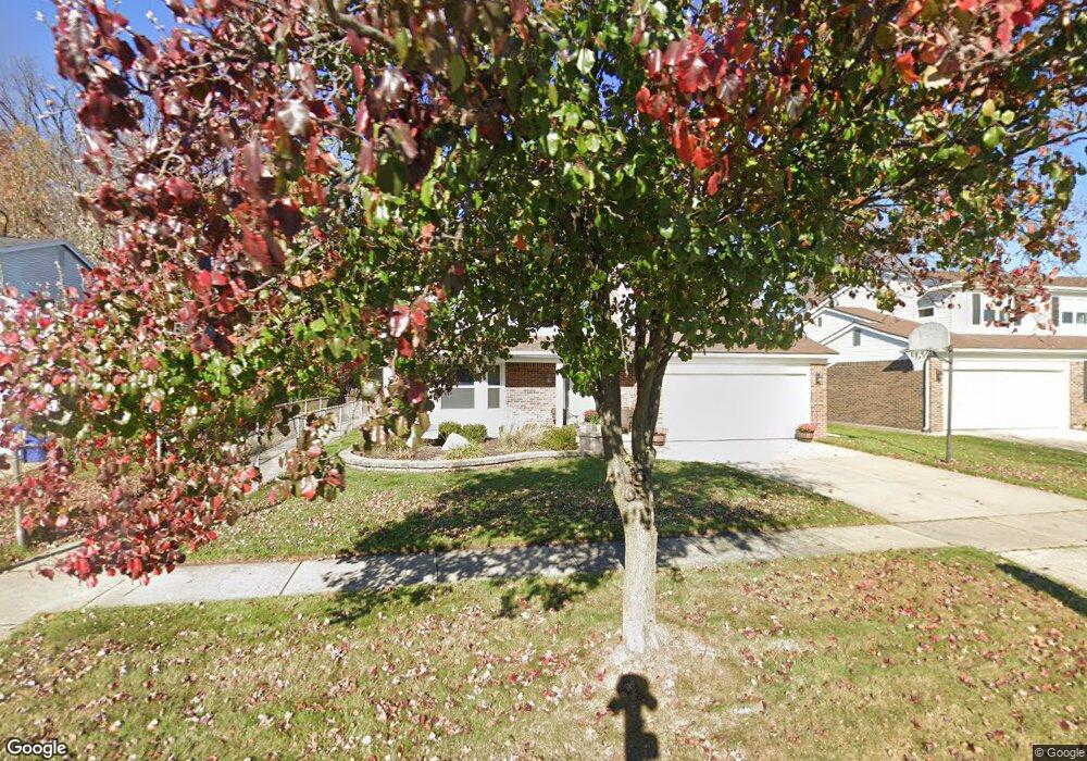
44548 Tillotson Dr Canton, MI 48187
Estimated Value: $385,000 - $444,000
3
Beds
2
Baths
1,679
Sq Ft
$244/Sq Ft
Est. Value
About This Home
This home is located at 44548 Tillotson Dr, Canton, MI 48187 and is currently estimated at $409,339, approximately $243 per square foot. 44548 Tillotson Dr is a home located in Wayne County with nearby schools including Canton High School, Salem High School, and Pioneer Middle School.
Ownership History
Date
Name
Owned For
Owner Type
Purchase Details
Closed on
Sep 11, 2020
Sold by
Perez Derek S and Perez Derek
Bought by
Perez Derek and Perez Rachel
Current Estimated Value
Home Financials for this Owner
Home Financials are based on the most recent Mortgage that was taken out on this home.
Original Mortgage
$91,800
Outstanding Balance
$49,218
Interest Rate
2.9%
Mortgage Type
New Conventional
Estimated Equity
$360,121
Purchase Details
Closed on
May 26, 2009
Sold by
Mccroskey Daniel L and Mccroskey Mary K
Bought by
Perez Derek S
Create a Home Valuation Report for This Property
The Home Valuation Report is an in-depth analysis detailing your home's value as well as a comparison with similar homes in the area
Home Values in the Area
Average Home Value in this Area
Purchase History
| Date | Buyer | Sale Price | Title Company |
|---|---|---|---|
| Perez Derek | -- | Title One | |
| Perez Derek S | $171,000 | Title One Inc |
Source: Public Records
Mortgage History
| Date | Status | Borrower | Loan Amount |
|---|---|---|---|
| Open | Perez Derek | $91,800 |
Source: Public Records
Tax History Compared to Growth
Tax History
| Year | Tax Paid | Tax Assessment Tax Assessment Total Assessment is a certain percentage of the fair market value that is determined by local assessors to be the total taxable value of land and additions on the property. | Land | Improvement |
|---|---|---|---|---|
| 2025 | $1,685 | $167,100 | $0 | $0 |
| 2024 | $1,685 | $152,800 | $0 | $0 |
| 2023 | $1,606 | $141,600 | $0 | $0 |
| 2022 | $3,654 | $125,900 | $0 | $0 |
| 2021 | $3,539 | $122,200 | $0 | $0 |
| 2020 | $3,481 | $117,200 | $0 | $0 |
| 2019 | $3,423 | $109,280 | $0 | $0 |
| 2018 | $1,365 | $105,980 | $0 | $0 |
| 2017 | $3,659 | $104,700 | $0 | $0 |
| 2016 | $3,152 | $104,200 | $0 | $0 |
| 2015 | $7,502 | $90,740 | $0 | $0 |
| 2013 | $7,267 | $76,890 | $0 | $0 |
| 2010 | -- | $80,670 | $36,581 | $44,089 |
Source: Public Records
Map
Nearby Homes
- 44223 Crofton Ct
- 44854 Forest Trail Dr
- 8591 Kingsley Dr
- 44127 Arlington Rd
- 43984 Arlington Rd
- 8530 Elmhurst St
- 9013 N Canton Center Rd
- 8451 Mannington Rd
- 44609 Meadowcreek Ln Unit 24
- 8876 N Sheldon Rd
- 8870 Brookline Ave
- 8880 Elmhurst Ave
- 8845 Oakview St
- 9060 N Sheldon Rd
- 8834 Northern Ave
- 8877 N Canton Center Rd
- 8830 Northern Ave
- 44409 Newburyport Dr Unit 133
- 44999 N Spring Dr
- 9230 Brookline Ave
- 44530 Tillotson Dr
- 44508 Tillotson Dr
- 44588 Tillotson Dr
- 8150 Tillotson Ct
- 44490 Tillotson Dr
- 44610 Tillotson Dr
- 44503 Tillotson Dr
- 8151 Tillotson Ct
- 44628 Tillotson Dr
- 44468 Tillotson Dr
- 8120 Tillotson Ct
- 44451 Tillotson Dr
- 8139 Tillotson Ct
- 44646 Tillotson Dr
- 44450 Tillotson Dr
- 8102 Tillotson Ct
- 44655 Tillotson Dr
- 8010 Sheldon Center Rd
- 8014 Sheldon Center Rd
- 8008 Sheldon Center Rd