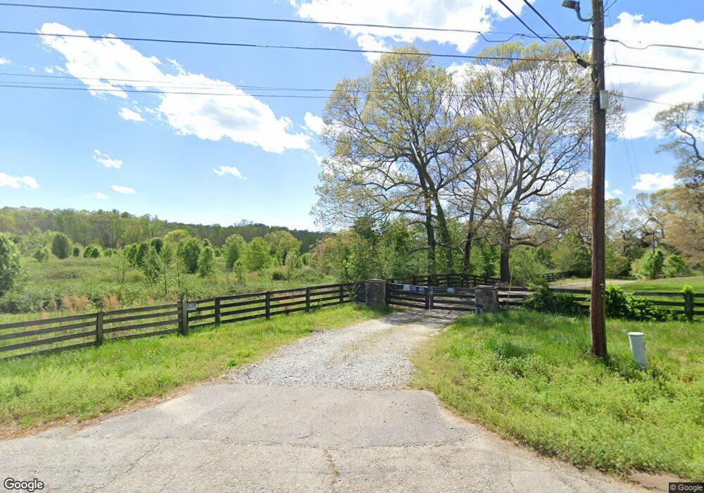
4455 Matt Hwy Cumming, GA 30028
Estimated Value: $1,222,000 - $1,740,000
6
Beds
5
Baths
4,504
Sq Ft
$322/Sq Ft
Est. Value
About This Home
This home is located at 4455 Matt Hwy, Cumming, GA 30028 and is currently estimated at $1,448,316, approximately $321 per square foot. 4455 Matt Hwy is a home located in Forsyth County with nearby schools including Coal Mountain Elementary School, North Forsyth Middle School, and North Forsyth High School.
Ownership History
Date
Name
Owned For
Owner Type
Purchase Details
Closed on
Nov 15, 2010
Sold by
Real Dev South Point Llc
Bought by
Ds Billion Properties Llc
Current Estimated Value
Purchase Details
Closed on
Nov 8, 2006
Sold by
Real Dev South Point Llc
Bought by
Choi Dong
Purchase Details
Closed on
Jan 7, 2005
Sold by
Forrest Rober E
Bought by
Matt Partners Llc
Home Financials for this Owner
Home Financials are based on the most recent Mortgage that was taken out on this home.
Original Mortgage
$794,500
Interest Rate
5.63%
Mortgage Type
New Conventional
Purchase Details
Closed on
Jan 30, 2002
Sold by
Lear Donald L
Bought by
Lear Donald L and Lear Jody B
Purchase Details
Closed on
Apr 8, 1994
Sold by
Wachovia Bank
Bought by
Lear Donald
Home Financials for this Owner
Home Financials are based on the most recent Mortgage that was taken out on this home.
Original Mortgage
$130,500
Interest Rate
7.37%
Create a Home Valuation Report for This Property
The Home Valuation Report is an in-depth analysis detailing your home's value as well as a comparison with similar homes in the area
Home Values in the Area
Average Home Value in this Area
Purchase History
| Date | Buyer | Sale Price | Title Company |
|---|---|---|---|
| Ds Billion Properties Llc | -- | -- | |
| Choi Dong | $1,300,000 | -- | |
| Matt Partners Llc | $1,127,000 | -- | |
| Forrest Robert E | $812,500 | -- | |
| Lear Donald L | -- | -- | |
| Lear Donald | $145,000 | -- |
Source: Public Records
Mortgage History
| Date | Status | Borrower | Loan Amount |
|---|---|---|---|
| Previous Owner | Forrest Robert E | $794,500 | |
| Previous Owner | Lear Donald | $130,500 |
Source: Public Records
Tax History Compared to Growth
Tax History
| Year | Tax Paid | Tax Assessment Tax Assessment Total Assessment is a certain percentage of the fair market value that is determined by local assessors to be the total taxable value of land and additions on the property. | Land | Improvement |
|---|---|---|---|---|
| 2025 | $12,199 | $558,744 | $328,084 | $230,660 |
| 2024 | $12,199 | $497,452 | $275,632 | $221,820 |
| 2023 | $11,713 | $475,880 | $266,376 | $209,504 |
| 2022 | $10,288 | $324,432 | $175,548 | $148,884 |
| 2021 | $8,959 | $324,432 | $175,548 | $148,884 |
| 2020 | $7,551 | $318,032 | $175,548 | $142,484 |
| 2019 | $7,471 | $270,156 | $125,668 | $144,488 |
| 2018 | $6,745 | $243,916 | $126,468 | $117,448 |
| 2017 | $5,874 | $211,656 | $101,528 | $110,128 |
| 2016 | $5,355 | $192,948 | $82,820 | $110,128 |
| 2015 | $5,365 | $192,948 | $82,820 | $110,128 |
| 2014 | $4,865 | $183,748 | $0 | $0 |
Source: Public Records
Map
Nearby Homes
- 4905 Rosarian Dr
- 4855 Rosarian Dr
- 4710 Rosarian Dr
- 7005 Walnut Mill Landing
- 6230 Dana Way
- 6445 Crystal Ln
- 4805 Blossom Ct
- 7620 Ivy Grove St
- 7480 Ivy Grove St
- 4555 Dennington Trace
- 5010 Heardmont Trace Rd
- 6040 Boulder Bluff Dr
- 5515 Allegre Place
- 5115 Poplar Springs Ct
- 5520 Allegre Place
- 5395 Coltman Dr
- 4455 Matt Hwy
- 4415 Matt Hwy
- 4455 Georgia 369
- 4571 Matt Hwy
- 4460 Matt Hwy
- 4569 Matt Hwy
- 4425 Hubert Martin Rd
- 7050 Shady Oak Ln Unit 1
- 7030 Shady Oak Ln
- 4490 Matt Hwy
- 7020 Shady Oak Ln Unit I
- 7010 Shady Oak Ln Unit 1
- 6990 Shady Oak Ln
- 7060 Shady Oak Ln Unit 1
- 4365 Matt Hwy
- 0 Shady Oak Ln Unit 8496232
- 0 Shady Oak Ln Unit 8019429
- 0 Shady Oak Ln Unit 7596214
- 0 Shady Oak Ln Unit 7592126
- 0 Shady Oak Ln Unit 3216986
