4458 Tower Hill Rd Unit B Wakefield, RI 02879
Estimated Value: $1,031,000 - $1,349,000
5
Beds
5
Baths
3,556
Sq Ft
$338/Sq Ft
Est. Value
About This Home
This home is located at 4458 Tower Hill Rd Unit B, Wakefield, RI 02879 and is currently estimated at $1,203,632, approximately $338 per square foot. 4458 Tower Hill Rd Unit B is a home located in Washington County with nearby schools including South Kingstown High School, Monsignor Matthew Clarke Catholic Regional School, and Bradley School-South.
Ownership History
Date
Name
Owned For
Owner Type
Purchase Details
Closed on
Apr 26, 2011
Sold by
Mattis Robert R and Mattis Noreen G
Bought by
Williams Bryan D and Williams Susan Jane
Current Estimated Value
Home Financials for this Owner
Home Financials are based on the most recent Mortgage that was taken out on this home.
Original Mortgage
$100,000
Outstanding Balance
$69,559
Interest Rate
4.9%
Mortgage Type
Purchase Money Mortgage
Estimated Equity
$1,134,073
Create a Home Valuation Report for This Property
The Home Valuation Report is an in-depth analysis detailing your home's value as well as a comparison with similar homes in the area
Home Values in the Area
Average Home Value in this Area
Purchase History
| Date | Buyer | Sale Price | Title Company |
|---|---|---|---|
| Williams Bryan D | $560,000 | -- |
Source: Public Records
Mortgage History
| Date | Status | Borrower | Loan Amount |
|---|---|---|---|
| Open | Williams Bryan D | $100,000 | |
| Previous Owner | Williams Bryan D | $300,700 |
Source: Public Records
Tax History Compared to Growth
Tax History
| Year | Tax Paid | Tax Assessment Tax Assessment Total Assessment is a certain percentage of the fair market value that is determined by local assessors to be the total taxable value of land and additions on the property. | Land | Improvement |
|---|---|---|---|---|
| 2025 | $6,823 | $763,200 | $237,600 | $525,600 |
| 2024 | $6,690 | $605,400 | $187,500 | $417,900 |
| 2023 | $6,690 | $605,400 | $187,500 | $417,900 |
| 2022 | $6,629 | $605,400 | $187,500 | $417,900 |
| 2021 | $6,969 | $482,300 | $165,700 | $316,600 |
| 2020 | $6,969 | $482,300 | $165,700 | $316,600 |
| 2019 | $6,969 | $482,300 | $165,700 | $316,600 |
| 2018 | $6,899 | $440,000 | $154,200 | $285,800 |
| 2017 | $6,736 | $440,000 | $154,200 | $285,800 |
| 2016 | $6,640 | $440,000 | $154,200 | $285,800 |
| 2015 | $6,975 | $449,400 | $167,700 | $281,700 |
| 2014 | $6,957 | $449,400 | $167,700 | $281,700 |
Source: Public Records
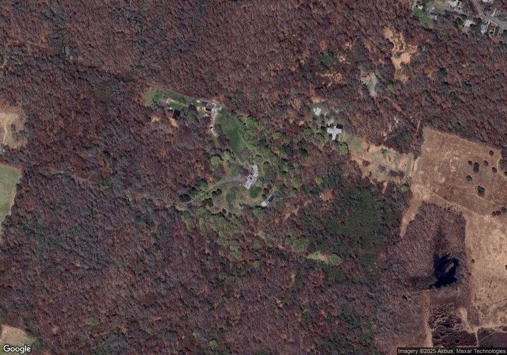
Map
Nearby Homes
- 19 Castle Rd
- 275 Boston Neck Rd
- 229 Saugatucket Rd
- 73 Camden Ct
- 0 Indian Trail Trail S Unit 1389828
- 177 Indian Trail S
- 0 Johnny Cake Trail Trail S Unit 1391340
- 0 S River Dr
- 46 S River Dr
- 150 Camden Ct
- 11 Tupelo Trail
- 917 Broad Rock Rd
- 32 Woodmist Cir
- 727 Boston Neck Rd
- 121 Spice Bush Trail
- 70 Broad Rock Rd
- 135 Cliff Dr
- 7 Leatherleaf Rd
- 56 Wanda St
- 20 Narragansett Ave Unit 905
- 4458 Tower Hill Rd
- 4458B Tower Hill Rd
- 160 Middlebridge Rd
- 164 Middlebridge Rd
- 75 Lafayette Ave
- 66 Lafayette Ave
- 74 Grant Ave
- 77 Grant Ave
- 64 Grant Ave
- 71 Grant Ave
- 55 Lafayette Ave
- 44 Lafayette Ave
- 46 Maple St
- 56 Grant Ave
- 65 Grant Ave
- 51 Lafayette Ave
- 42 Maple St
- 224 Middlebridge Rd
- 36 Maple St
- 234 Middlebridge Rd