4458 Tower Hill Rd Wakefield, RI 02879
Estimated Value: $1,226,000 - $1,852,000
5
Beds
5
Baths
3,556
Sq Ft
$438/Sq Ft
Est. Value
About This Home
This home is located at 4458 Tower Hill Rd, Wakefield, RI 02879 and is currently estimated at $1,558,736, approximately $438 per square foot. 4458 Tower Hill Rd is a home located in Washington County with nearby schools including South Kingstown High School, Monsignor Matthew Clarke Catholic Regional School, and Bradley School-South.
Ownership History
Date
Name
Owned For
Owner Type
Purchase Details
Closed on
Jul 19, 2022
Sold by
Burman Edward W
Bought by
Edward W Burman Jr Lt
Current Estimated Value
Purchase Details
Closed on
Dec 23, 2015
Sold by
Burman Edward W
Bought by
South Kingstown Land T
Purchase Details
Closed on
Sep 14, 2015
Sold by
Burman 3Rd Edward W
Bought by
Burman Edward W
Purchase Details
Closed on
Jan 15, 1991
Sold by
Shuckleton Albert H
Bought by
Burman Eduard W
Purchase Details
Closed on
Jan 3, 1989
Sold by
Tower Ptnrs
Bought by
Mattis Robert
Create a Home Valuation Report for This Property
The Home Valuation Report is an in-depth analysis detailing your home's value as well as a comparison with similar homes in the area
Home Values in the Area
Average Home Value in this Area
Purchase History
| Date | Buyer | Sale Price | Title Company |
|---|---|---|---|
| Edward W Burman Jr Lt | -- | None Available | |
| South Kingstown Land T | -- | -- | |
| Burman Edward W | -- | -- | |
| Burman Eduard W | $578,000 | -- | |
| Mattis Robert | $280,000 | -- |
Source: Public Records
Mortgage History
| Date | Status | Borrower | Loan Amount |
|---|---|---|---|
| Previous Owner | Mattis Robert | $322,700 | |
| Previous Owner | Mattis Robert | $350,000 | |
| Previous Owner | Mattis Robert | $125,000 |
Source: Public Records
Tax History Compared to Growth
Tax History
| Year | Tax Paid | Tax Assessment Tax Assessment Total Assessment is a certain percentage of the fair market value that is determined by local assessors to be the total taxable value of land and additions on the property. | Land | Improvement |
|---|---|---|---|---|
| 2025 | $11,152 | $1,247,400 | $239,700 | $1,007,700 |
| 2024 | $10,653 | $964,100 | $189,600 | $774,500 |
| 2023 | $10,653 | $964,100 | $189,600 | $774,500 |
| 2022 | $10,557 | $964,100 | $189,600 | $774,500 |
| 2021 | $9,981 | $690,700 | $167,800 | $522,900 |
| 2020 | $9,981 | $690,700 | $167,800 | $522,900 |
| 2019 | $9,981 | $690,700 | $167,800 | $522,900 |
| 2018 | $9,925 | $633,000 | $156,200 | $476,800 |
| 2017 | $9,691 | $633,000 | $156,200 | $476,800 |
| 2016 | $9,552 | $633,000 | $156,200 | $476,800 |
| 2015 | $10,470 | $674,600 | $154,700 | $519,900 |
| 2014 | $10,443 | $674,600 | $154,700 | $519,900 |
Source: Public Records
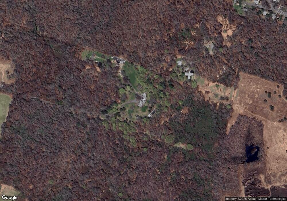
Map
Nearby Homes
- 19 Castle Rd
- 275 Boston Neck Rd
- 19 Leeann Dr
- 229 Saugatucket Rd
- 73 Camden Ct
- 0 Indian Trail Trail S Unit 1389828
- 177 Indian Trail S
- 0 Johnny Cake Trail Trail S Unit 1391340
- 0 S River Dr
- 46 S River Dr
- 150 Camden Ct
- 11 Tupelo Trail
- 917 Broad Rock Rd
- 32 Woodmist Cir
- 727 Boston Neck Rd
- 121 Spice Bush Trail
- 70 Broad Rock Rd
- 135 Cliff Dr
- 991 Middlebridge Rd
- 7 Leatherleaf Rd
- 4458 Tower Hill Rd Unit B
- 4458B Tower Hill Rd
- 160 Middlebridge Rd
- 164 Middlebridge Rd
- 75 Lafayette Ave
- 66 Lafayette Ave
- 74 Grant Ave
- 77 Grant Ave
- 64 Grant Ave
- 71 Grant Ave
- 55 Lafayette Ave
- 44 Lafayette Ave
- 46 Maple St
- 56 Grant Ave
- 65 Grant Ave
- 51 Lafayette Ave
- 42 Maple St
- 224 Middlebridge Rd
- 36 Maple St
- 234 Middlebridge Rd