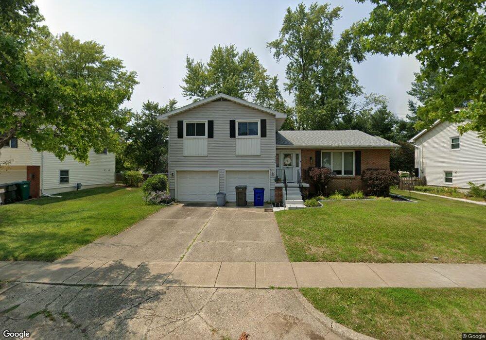
4459 N Adams Dr Decatur, IL 62526
Cresthaven NeighborhoodEstimated Value: $153,000 - $194,000
3
Beds
2
Baths
1,514
Sq Ft
$116/Sq Ft
Est. Value
About This Home
This home is located at 4459 N Adams Dr, Decatur, IL 62526 and is currently estimated at $175,293, approximately $115 per square foot. 4459 N Adams Dr is a home located in Macon County with nearby schools including Parsons Elementary School, Stephen Decatur Middle School, and Our Lady of Lourdes School.
Ownership History
Date
Name
Owned For
Owner Type
Purchase Details
Closed on
Dec 15, 2006
Sold by
Clark Todd R and Clark Christina L
Bought by
Johnson Rebecca L
Current Estimated Value
Home Financials for this Owner
Home Financials are based on the most recent Mortgage that was taken out on this home.
Original Mortgage
$84,000
Outstanding Balance
$50,105
Interest Rate
6.36%
Mortgage Type
New Conventional
Estimated Equity
$125,188
Purchase Details
Closed on
Jul 22, 2005
Sold by
Payne Marvjo K
Bought by
Clark Todd R and Clark Christina L
Home Financials for this Owner
Home Financials are based on the most recent Mortgage that was taken out on this home.
Original Mortgage
$50,000
Interest Rate
5.68%
Mortgage Type
Future Advance Clause Open End Mortgage
Create a Home Valuation Report for This Property
The Home Valuation Report is an in-depth analysis detailing your home's value as well as a comparison with similar homes in the area
Home Values in the Area
Average Home Value in this Area
Purchase History
| Date | Buyer | Sale Price | Title Company |
|---|---|---|---|
| Johnson Rebecca L | $105,000 | None Available | |
| Clark Todd R | $57,000 | None Available |
Source: Public Records
Mortgage History
| Date | Status | Borrower | Loan Amount |
|---|---|---|---|
| Open | Johnson Rebecca L | $84,000 | |
| Previous Owner | Clark Todd R | $50,000 |
Source: Public Records
Tax History Compared to Growth
Tax History
| Year | Tax Paid | Tax Assessment Tax Assessment Total Assessment is a certain percentage of the fair market value that is determined by local assessors to be the total taxable value of land and additions on the property. | Land | Improvement |
|---|---|---|---|---|
| 2024 | $4,492 | $51,500 | $9,825 | $41,675 |
| 2023 | $4,164 | $47,343 | $9,032 | $38,311 |
| 2022 | $3,916 | $43,909 | $8,377 | $35,532 |
| 2021 | $3,780 | $42,441 | $7,833 | $34,608 |
| 2020 | $3,151 | $35,543 | $6,560 | $28,983 |
| 2019 | $3,151 | $35,543 | $6,560 | $28,983 |
| 2018 | $3,138 | $35,797 | $6,607 | $29,190 |
| 2017 | $3,152 | $35,996 | $6,643 | $29,353 |
| 2016 | $3,185 | $36,083 | $6,659 | $29,424 |
| 2015 | $3,033 | $35,655 | $6,580 | $29,075 |
| 2014 | $2,842 | $35,655 | $6,580 | $29,075 |
| 2013 | $2,832 | $35,655 | $6,580 | $29,075 |
Source: Public Records
Map
Nearby Homes
- 4444 N Adams Dr
- 4499 Lawson Dr
- 4616 Lawson Dr
- 4636 Lawson Dr
- 278 W Brown Ave
- 365 W Ash Ave
- 619 Arthur Ct
- 0 Route 51 Unit 6241333
- 4074 Sheffield Ct
- 235 W Ash Ave
- 416 Southampton Dr
- 4643 Nicklaus Ct
- 810 Sarah Dr
- 204 Newcastle Dr
- 16 Surrey Ln
- 880 W Frank Dr
- 1110 W Ash Ave
- 4057 N Constant View Dr
- 933 W Frank Dr
- 3959 N Cambridge Dr
- 4475 N Adams Dr
- 4476 N Adams Dr
- 4491 N Adams Dr
- 4427 N Adams Dr
- 4428 N Adams Dr
- 4492 N Adams Dr
- 4411 N Adams Dr
- 4509 N Adams Dr
- 4412 N Adams Dr
- 4508 N Adams Dr
- 4457 Butler Dr
- 615 W Waterford Ln
- 4473 Butler Dr
- 606 Waterford Ln
- 4441 Butler Dr
- 615 Waterford Ln
- 4489 Butler Dr
- 4526 N Adams Dr
- 606 W Waterford Ln
- 4409 Butler Dr