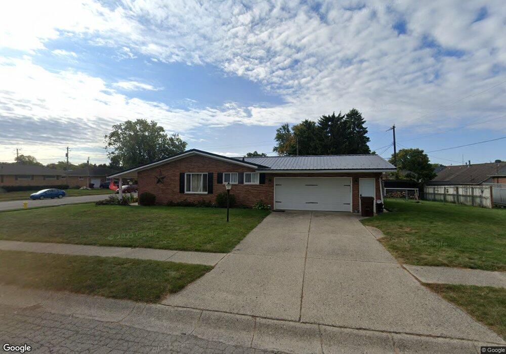
4459 Reno Rd Springfield, OH 45503
Estimated Value: $278,676 - $292,000
4
Beds
3
Baths
1,947
Sq Ft
$146/Sq Ft
Est. Value
About This Home
This home is located at 4459 Reno Rd, Springfield, OH 45503 and is currently estimated at $283,419, approximately $145 per square foot. 4459 Reno Rd is a home located in Clark County with nearby schools including Northridge Elementary School, Kenton Ridge Middle & High School, and Emmanuel Christian Academy.
Ownership History
Date
Name
Owned For
Owner Type
Purchase Details
Closed on
Feb 8, 2023
Sold by
Bumgardner Sharma S
Bought by
Bumgardner Properties I Llc
Current Estimated Value
Purchase Details
Closed on
Oct 18, 2018
Sold by
Woodard Sharon A
Bought by
Bumgardner Robert
Purchase Details
Closed on
Apr 3, 1996
Sold by
Ledgerwood Curtis W
Bought by
Woodard William E and Woodard Sharon
Home Financials for this Owner
Home Financials are based on the most recent Mortgage that was taken out on this home.
Original Mortgage
$110,960
Interest Rate
7.36%
Mortgage Type
New Conventional
Purchase Details
Closed on
Mar 4, 1993
Create a Home Valuation Report for This Property
The Home Valuation Report is an in-depth analysis detailing your home's value as well as a comparison with similar homes in the area
Home Values in the Area
Average Home Value in this Area
Purchase History
| Date | Buyer | Sale Price | Title Company |
|---|---|---|---|
| Bumgardner Properties I Llc | -- | None Listed On Document | |
| Bumgardner Properties I Llc | -- | None Listed On Document | |
| Bumgardner Sharma S | $229,200 | -- | |
| Bumgardner Sharma S | $229,200 | None Listed On Document | |
| Bumgardner Robert | $125,000 | None Available | |
| Woodard William E | $116,800 | -- | |
| -- | $96,000 | -- |
Source: Public Records
Mortgage History
| Date | Status | Borrower | Loan Amount |
|---|---|---|---|
| Previous Owner | Woodard William E | $110,960 |
Source: Public Records
Tax History
| Year | Tax Paid | Tax Assessment Tax Assessment Total Assessment is a certain percentage of the fair market value that is determined by local assessors to be the total taxable value of land and additions on the property. | Land | Improvement |
|---|---|---|---|---|
| 2025 | $3,584 | $98,510 | $22,930 | $75,580 |
| 2024 | $3,392 | $80,210 | $15,350 | $64,860 |
| 2023 | $3,392 | $80,210 | $15,350 | $64,860 |
| 2022 | $3,405 | $80,210 | $15,350 | $64,860 |
| 2021 | $3,075 | $61,410 | $12,180 | $49,230 |
| 2020 | $3,078 | $61,410 | $12,180 | $49,230 |
| 2019 | $3,137 | $61,410 | $12,180 | $49,230 |
| 2018 | $2,986 | $56,110 | $10,920 | $45,190 |
| 2017 | $2,559 | $59,217 | $10,920 | $48,297 |
| 2016 | $2,541 | $59,217 | $10,920 | $48,297 |
| 2015 | $2,412 | $56,039 | $10,500 | $45,539 |
| 2014 | $2,501 | $56,039 | $10,500 | $45,539 |
| 2013 | $2,355 | $56,039 | $10,500 | $45,539 |
Source: Public Records
Map
Nearby Homes
- 4577 Reno Ln Unit 2
- 4652 Reno Ln Unit 15
- 4446 Ridgewood Rd E Unit 3
- 4256 Midfield St Unit 9
- 1341 Student Ave
- 1709 Thomas Dr
- 3942 Harris Ln
- 4802 Willowbrook Dr
- 1921 Elaina Dr
- 5033 Ridgewood Rd E
- 4343 Burchill St
- 4741 Cullen Ave
- 1521 Erika Dr
- 4028 Ryland Dr Unit 4028
- 4500 Bosart Rd
- 1831 Pinehurst Dr Unit 37
- 1711 Pinehurst Dr
- 1503 Kingsgate Rd
- 1500 Kingsgate Rd
- 1502 Kingsgate Rd
- 4453 Reno Rd
- 4460 Arbor Ln
- 4454 Arbor Ln
- 4458 Reno Rd
- 1730 Sierra Ave
- 4447 Reno Rd
- 1658 Sierra Ave Unit 10
- 4450 Reno Rd
- 1656 Sierra Ave
- 1654 Sierra Ave Unit 8
- 1745 Sierra Ave
- 1652 Sierra Ave Unit 7
- 4442 Arbor Ln
- 1740 Sierra Ave
- 4444 Reno Rd
- 1650 Sierra Ave
- 4441 Reno Rd
- 4461 Arbor Ln
- 1648 Sierra Ave Unit 5
- 1646 Sierra Ave Unit 4
Your Personal Tour Guide
Ask me questions while you tour the home.