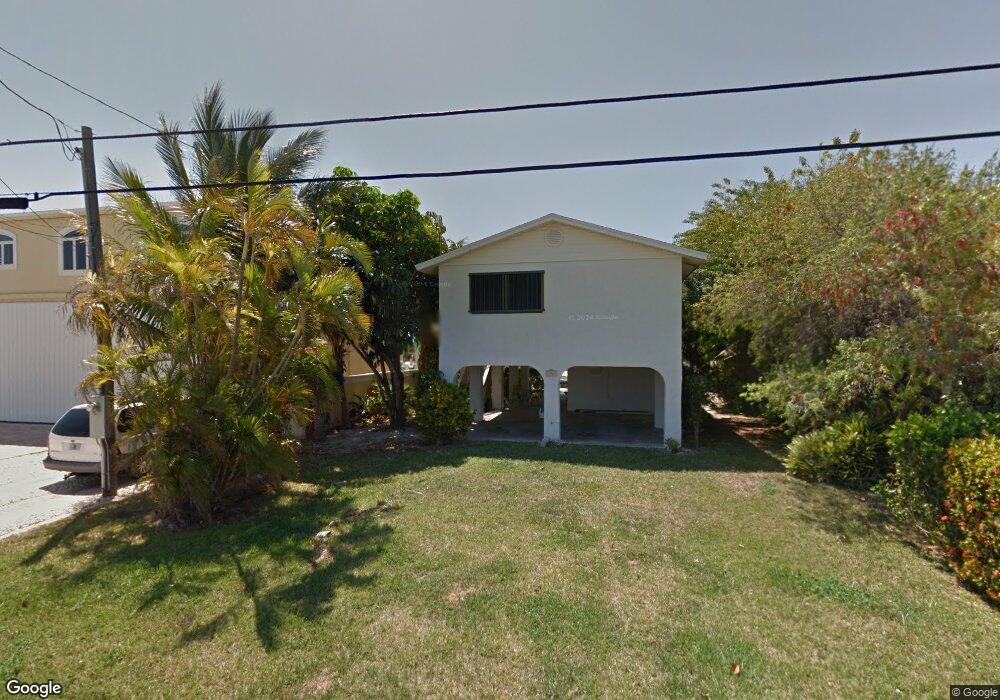
446 Airport Dr S Summerland Key, FL 33042
Estimated Value: $856,000 - $1,053,000
3
Beds
2
Baths
1,200
Sq Ft
$793/Sq Ft
Est. Value
About This Home
This home is located at 446 Airport Dr S, Summerland Key, FL 33042 and is currently estimated at $951,036, approximately $792 per square foot. 446 Airport Dr S is a home located in Monroe County with nearby schools including Sugarloaf School and Key West High School.
Ownership History
Date
Name
Owned For
Owner Type
Purchase Details
Closed on
Dec 5, 2024
Sold by
Blount Elizabeth Danta and Blount Elizabeth
Bought by
Elizabeth D Blount Living Trust and Blount
Current Estimated Value
Purchase Details
Closed on
Feb 4, 2008
Sold by
Blount Warren and Blount Elizabeth D
Bought by
Blount Warren R and Blount Elizabeth D
Purchase Details
Closed on
Aug 2, 2007
Sold by
Lemmert Robert W and Lemmert Anita C
Bought by
Blount Warren and Blount Elizabeth D
Home Financials for this Owner
Home Financials are based on the most recent Mortgage that was taken out on this home.
Original Mortgage
$417,000
Interest Rate
6.63%
Mortgage Type
Purchase Money Mortgage
Purchase Details
Closed on
May 25, 1994
Sold by
Gieseke Robert E and Gieseke Catherine E
Bought by
Gieseke Robert E
Purchase Details
Closed on
Feb 1, 1973
Bought by
Blount Warren R Living Tr Agree U/A/D 2/4/08
Create a Home Valuation Report for This Property
The Home Valuation Report is an in-depth analysis detailing your home's value as well as a comparison with similar homes in the area
Home Values in the Area
Average Home Value in this Area
Purchase History
| Date | Buyer | Sale Price | Title Company |
|---|---|---|---|
| Elizabeth D Blount Living Trust | -- | None Listed On Document | |
| Blount Elizabeth Danta | -- | None Listed On Document | |
| Blount Warren R | -- | Attorney | |
| Blount Warren | $540,000 | True Title Agency Inc | |
| Gieseke Robert E | $6,000 | -- | |
| Blount Warren R Living Tr Agree U/A/D 2/4/08 | $10,000 | -- |
Source: Public Records
Mortgage History
| Date | Status | Borrower | Loan Amount |
|---|---|---|---|
| Previous Owner | Blount Warren | $417,000 |
Source: Public Records
Tax History Compared to Growth
Tax History
| Year | Tax Paid | Tax Assessment Tax Assessment Total Assessment is a certain percentage of the fair market value that is determined by local assessors to be the total taxable value of land and additions on the property. | Land | Improvement |
|---|---|---|---|---|
| 2024 | $6,269 | $809,182 | $522,000 | $287,182 |
| 2023 | $6,269 | $728,979 | $451,500 | $277,479 |
| 2022 | $5,932 | $714,448 | $451,500 | $262,948 |
| 2021 | $5,542 | $572,645 | $337,500 | $235,145 |
| 2020 | $4,939 | $458,833 | $282,000 | $176,833 |
| 2019 | $4,780 | $440,021 | $261,000 | $179,021 |
| 2018 | $4,739 | $423,705 | $246,000 | $177,705 |
| 2017 | $4,527 | $435,705 | $0 | $0 |
| 2016 | $4,261 | $388,829 | $0 | $0 |
| 2015 | -- | $383,992 | $0 | $0 |
| 2014 | -- | $350,368 | $0 | $0 |
Source: Public Records
Map
Nearby Homes
- 680 Cruikshank Island
- 835 Gulf Dr
- 466 W Shore Dr
- 876 Gulf Dr
- 24931 Overseas Hwy
- 860 Lagoon Dr
- 937 Gulf Dr
- 948 Gulf Dr
- 554 W Shore Dr
- 951 Lagoon Dr
- 231 E Shore Dr Unit 7
- 231 E Shore Dr Unit 6
- 231 E Shore Dr Unit 4
- 231 E Shore Dr Unit 2
- 231 E Shore Dr Unit 5
- 231 E Shore Dr Unit 1
- 231 E Shore Dr Unit 3
- 974 Flagship Dr
- 655 E Shore Dr
- 24285 Caribbean Dr
- 456 Airport Dr S
- 436 Airport Dr S
- 466 Airport Dr S
- 476 Airport Dr S
- 426 Airport Dr S
- 486 Airport Dr S
- 549 Caribbean Dr E
- 555 Caribbean Dr E
- LOT 12 E Caribbean Dr
- LOT 12 Caribbean Dr
- 575 Caribbean Dr E
- 545 Caribbean Dr E
- 585 Caribbean Dr E
- 0 Vacant La Caribbean Dr
- 508 Airport Dr S
- 595 Caribbean Dr E
- 406 Airport Dr S
- 525 Caribbean Dr E
- 518 Airport Dr S
- 617 Caribbean Dr E