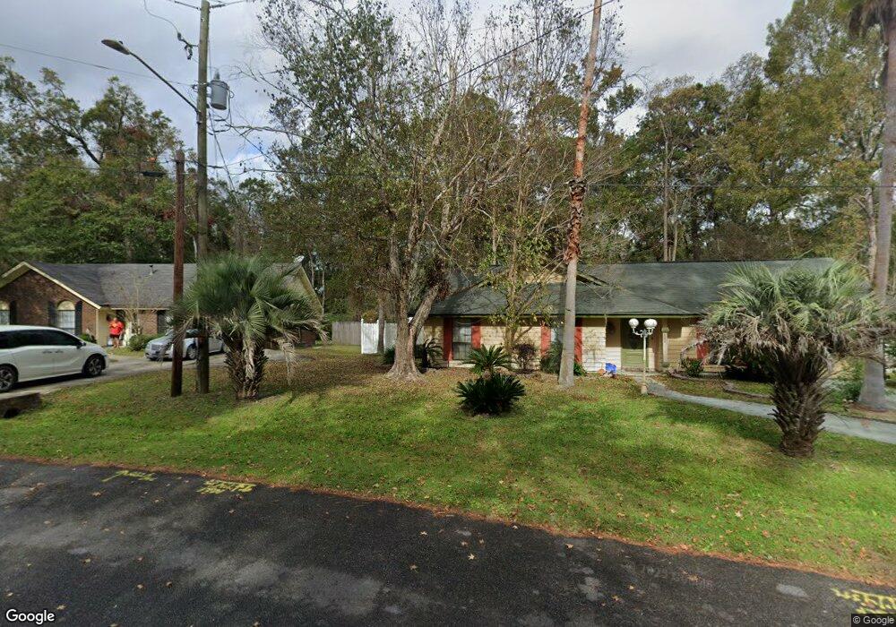
446 Floyd Cir Unit LOT 20 Hinesville, GA 31313
Estimated Value: $182,000 - $236,761
3
Beds
2
Baths
1,461
Sq Ft
$151/Sq Ft
Est. Value
About This Home
This home is located at 446 Floyd Cir Unit LOT 20, Hinesville, GA 31313 and is currently estimated at $219,940, approximately $150 per square foot. 446 Floyd Cir Unit LOT 20 is a home located in Liberty County with nearby schools including Joseph Martin Elementary School, Snelson-Golden Middle School, and Liberty County High School.
Ownership History
Date
Name
Owned For
Owner Type
Purchase Details
Closed on
Apr 16, 2014
Sold by
Jackson Thomas L
Bought by
Jackson Rental Grp Llc
Current Estimated Value
Purchase Details
Closed on
Mar 8, 2013
Sold by
The Coastal Bank
Bought by
Jackson Thomas L
Purchase Details
Closed on
Aug 7, 2012
Sold by
Rosen Anita S
Bought by
The Coastal Bank
Purchase Details
Closed on
Dec 10, 1991
Bought by
Rosen Anita S
Create a Home Valuation Report for This Property
The Home Valuation Report is an in-depth analysis detailing your home's value as well as a comparison with similar homes in the area
Home Values in the Area
Average Home Value in this Area
Purchase History
| Date | Buyer | Sale Price | Title Company |
|---|---|---|---|
| Jackson Rental Grp Llc | -- | -- | |
| Jackson Thomas L | $58,000 | -- | |
| The Coastal Bank | $90,000 | -- | |
| Rosen Anita S | -- | -- |
Source: Public Records
Mortgage History
| Date | Status | Borrower | Loan Amount |
|---|---|---|---|
| Closed | Jackson Thomas L | $0 |
Source: Public Records
Tax History Compared to Growth
Tax History
| Year | Tax Paid | Tax Assessment Tax Assessment Total Assessment is a certain percentage of the fair market value that is determined by local assessors to be the total taxable value of land and additions on the property. | Land | Improvement |
|---|---|---|---|---|
| 2024 | $3,393 | $69,033 | $16,000 | $53,033 |
| 2023 | $3,393 | $65,480 | $14,000 | $51,480 |
| 2022 | $2,618 | $56,208 | $14,000 | $42,208 |
| 2021 | $2,210 | $46,516 | $11,200 | $35,316 |
| 2020 | $2,181 | $45,462 | $11,200 | $34,262 |
| 2019 | $2,089 | $43,862 | $9,600 | $34,262 |
| 2018 | $2,098 | $44,296 | $9,600 | $34,696 |
| 2017 | $1,459 | $44,296 | $9,600 | $34,696 |
| 2016 | $1,949 | $43,181 | $9,600 | $33,581 |
| 2015 | $1,069 | $40,083 | $9,600 | $30,483 |
| 2014 | $1,069 | $48,490 | $10,400 | $38,090 |
| 2013 | -- | $49,016 | $10,400 | $38,616 |
Source: Public Records
Map
Nearby Homes
- 0 E General Stewart Way
- 0 General Stewart Way
- 301 Lakeview Dr
- 411 Woodland Dr
- 24 Sherwood Dr
- 830 Bradwell St
- 205 Wilson Ave
- 822 Lakeview Ct
- 812 Spanish Oak Dr
- 108 W General Stewart Way
- 173 Ironwood Dr
- 604 Caroline St
- 103 Stewart Terrace
- 1.76 AC Tranquill Way
- 1.76 AC Shyam Dr
- 910 Kings Rd
- 804 Barrington Dr
- 4 Lots Memorial Dr
- 1 Oglethorpe Ave
- 996 Stone Ct
- 446 Floyd Cir
- 442 Floyd Cir
- 448 Floyd Cir
- 447 Floyd Cir
- 440 Floyd Cir
- 452 Floyd Cir
- 438 Martin Rd
- 435 Floyd Cir
- 430 Martin Rd
- 436 Floyd Cir
- 0 Floyd Cir Unit 8257123
- 0 Floyd Cir Unit 8058971
- 0 Floyd Cir Unit 7075469
- 0 Floyd Cir Unit 3239245
- 0 Floyd Cir
- 457 Floyd Cir
- 456 Floyd Cir
- 708 Marlborough Ct
- 428 Martin Rd
- 706 Marlborough Ct Unit 33