Estimated Value: $291,005 - $655,000
--
Bed
--
Bath
--
Sq Ft
5,271
Sq Ft Lot
About This Home
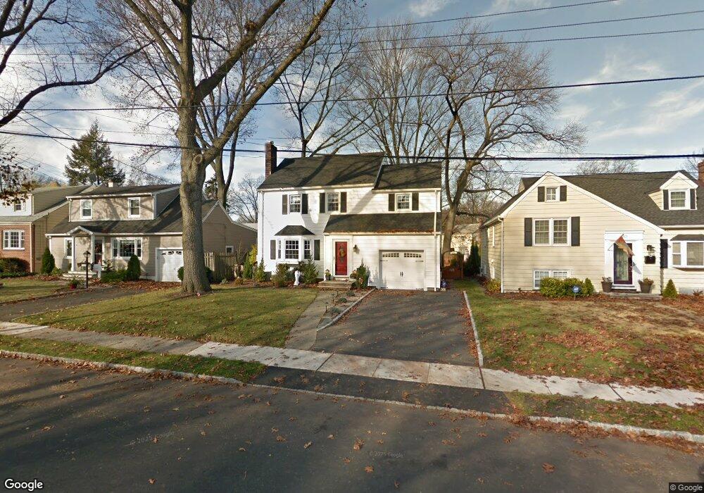
This home is located at 446 Huntington Rd, Union, NJ 07083 and is currently estimated at $551,751. 446 Huntington Rd is a home located in Union County with nearby schools including Washington Elementary School and Union High School.
Ownership History
Date
Name
Owned For
Owner Type
Purchase Details
Closed on
Aug 27, 1999
Sold by
Bollenbach Patricia and Romankow Theodore J
Bought by
Cerreto Darin G and Cerreto Dolores N
Current Estimated Value
Home Financials for this Owner
Home Financials are based on the most recent Mortgage that was taken out on this home.
Original Mortgage
$168,750
Outstanding Balance
$48,800
Interest Rate
7.5%
Estimated Equity
$502,951
Create a Home Valuation Report for This Property
The Home Valuation Report is an in-depth analysis detailing your home's value as well as a comparison with similar homes in the area
Home Values in the Area
Average Home Value in this Area
Purchase History
| Date | Buyer | Sale Price | Title Company |
|---|---|---|---|
| Cerreto Darin G | $187,500 | -- |
Source: Public Records
Mortgage History
| Date | Status | Borrower | Loan Amount |
|---|---|---|---|
| Open | Cerreto Darin G | $168,750 |
Source: Public Records
Tax History Compared to Growth
Tax History
| Year | Tax Paid | Tax Assessment Tax Assessment Total Assessment is a certain percentage of the fair market value that is determined by local assessors to be the total taxable value of land and additions on the property. | Land | Improvement |
|---|---|---|---|---|
| 2025 | $10,371 | $46,400 | $20,100 | $26,300 |
| 2024 | $10,054 | $46,400 | $20,100 | $26,300 |
| 2023 | $10,054 | $46,400 | $20,100 | $26,300 |
| 2022 | $9,705 | $46,400 | $20,100 | $26,300 |
| 2021 | $9,470 | $46,400 | $20,100 | $26,300 |
| 2020 | $9,281 | $46,400 | $20,100 | $26,300 |
| 2019 | $9,156 | $46,400 | $20,100 | $26,300 |
| 2018 | $9,000 | $46,400 | $20,100 | $26,300 |
| 2017 | $8,867 | $46,400 | $20,100 | $26,300 |
| 2016 | $8,651 | $46,400 | $20,100 | $26,300 |
| 2015 | $8,507 | $46,400 | $20,100 | $26,300 |
| 2014 | $8,317 | $46,400 | $20,100 | $26,300 |
Source: Public Records
Map
Nearby Homes
- 394 Martin Rd
- 403 Foxwood Rd
- 321 Salem Rd
- 536 Lehigh Ave
- 578 Winchester Ave
- 819 Greenwich Ln
- 277 Newark Ave
- 341 Trotting Rd
- 233 Monticello St
- 686 Gates Terrace
- 494 Whitewood Rd
- 214 Washington Ave
- 619 Spruce St
- 275 Clermont Terrace
- 717 Winchester Ave
- 255 Tucker Ave Unit 233
- 255 Tucker Ave Unit 204
- 201 E Lincoln Ave
- 328 Minute Arms Rd
- 362 Crawford Terrace
- 440 Huntington Rd
- 450 Huntington Rd
- 401 Salem Rd
- 436 Huntington Rd
- 425 Forest Dr
- 432 Huntington Rd
- 404 Salem Rd
- 396 Salem Rd
- 423 Forest Dr
- 445 Huntington Rd
- 394 Salem Rd
- 478 Salem Rd
- 449 Huntington Rd
- 441 Huntington Rd
- 453 Huntington Rd
- 424 Huntington Rd
- 482 Salem Rd
- 421 Forest Dr
- 392 Salem Rd
- 437 Huntington Rd