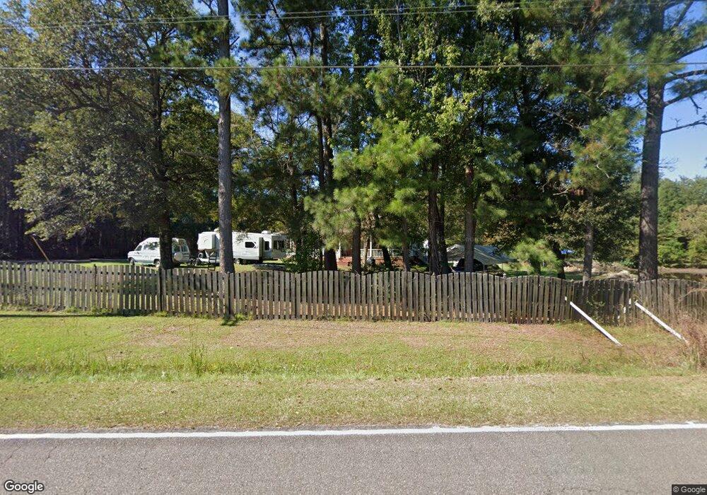
446 Lazy Hill Rd Moncks Corner, SC 29461
Estimated Value: $467,000 - $594,000
3
Beds
2
Baths
2,424
Sq Ft
$225/Sq Ft
Est. Value
About This Home
This home is located at 446 Lazy Hill Rd, Moncks Corner, SC 29461 and is currently estimated at $546,139, approximately $225 per square foot. 446 Lazy Hill Rd is a home located in Berkeley County with nearby schools including Whitesville Elementary School, Berkeley Middle School, and Berkeley High School.
Ownership History
Date
Name
Owned For
Owner Type
Purchase Details
Closed on
Sep 23, 2011
Sold by
Champan James F
Bought by
Derose Ann M and Derose James
Current Estimated Value
Home Financials for this Owner
Home Financials are based on the most recent Mortgage that was taken out on this home.
Original Mortgage
$241,481
Outstanding Balance
$164,890
Interest Rate
4.2%
Mortgage Type
VA
Estimated Equity
$381,249
Purchase Details
Closed on
Jan 3, 2011
Sold by
Chapman James J
Bought by
Chapman James F
Create a Home Valuation Report for This Property
The Home Valuation Report is an in-depth analysis detailing your home's value as well as a comparison with similar homes in the area
Home Values in the Area
Average Home Value in this Area
Purchase History
| Date | Buyer | Sale Price | Title Company |
|---|---|---|---|
| Derose Ann M | $265,000 | -- | |
| Chapman James F | -- | -- |
Source: Public Records
Mortgage History
| Date | Status | Borrower | Loan Amount |
|---|---|---|---|
| Open | Derose Ann M | $241,481 |
Source: Public Records
Tax History Compared to Growth
Tax History
| Year | Tax Paid | Tax Assessment Tax Assessment Total Assessment is a certain percentage of the fair market value that is determined by local assessors to be the total taxable value of land and additions on the property. | Land | Improvement |
|---|---|---|---|---|
| 2025 | $1,285 | $331,948 | $122,862 | $209,086 |
| 2024 | $1,233 | $13,277 | $4,914 | $8,363 |
| 2023 | $1,233 | $13,277 | $4,914 | $8,363 |
| 2022 | $1,208 | $11,546 | $3,123 | $8,423 |
| 2021 | $1,239 | $11,540 | $3,123 | $8,423 |
| 2020 | $1,459 | $11,546 | $3,123 | $8,423 |
| 2019 | $1,449 | $11,546 | $3,123 | $8,423 |
| 2018 | $1,338 | $10,040 | $2,476 | $7,564 |
| 2017 | $1,238 | $10,040 | $2,476 | $7,564 |
| 2016 | $1,269 | $10,040 | $2,480 | $7,560 |
| 2015 | $1,167 | $10,040 | $2,480 | $7,560 |
| 2014 | $1,149 | $10,040 | $2,480 | $7,560 |
| 2013 | -- | $10,040 | $2,480 | $7,560 |
Source: Public Records
Map
Nearby Homes
- 220 New Oak Ln
- 607 Lazy Hill Rd
- 240 Groomsville Rd
- Emerson Plan at High Point at Foxbank
- 508 Eagleview Dr
- 428 Eagleview Dr
- 420 Eagleview Dr
- 332 Southern Sugar Ave
- 312 Red Leaf Blvd
- 117 Forest Springs Rd
- 221 Old Grove Ave
- 193 Cypress Forest Dr
- 519 Eagleview Dr
- 417 Tallow Ct
- 173 Cypress Forest Dr
- 293 Red Leaf Blvd
- 661 Black Pine Rd
- 659 Black Pine Rd
- 327 Hillman Trail Dr
- 655 Black Pine Rd
- 140 New Oak Ln
- 422 Lazy Hill Rd
- 439 Lazy Hill Rd
- 116 New Oak Ln
- 160 New Oak Ln
- 420 Lazy Hill Rd
- 141 New Oak Ln
- 149 New Oak Ln
- 127 New Oak Ln
- 159 New Oak Ln
- 164 New Oak Ln
- 449 Lazy Hill Rd
- 119 New Oak Ln
- 179 Blackstone Dr
- 181 Blackstone Dr
- 419 Lazy Hill Rd
- 183 Blackstone Dr
- 412 Lazy Hill Rd
- 185 Blackstone Dr
- 109 New Oak Ln