446 Pleasant St Dunstable, MA 01827
Estimated Value: $814,000 - $1,175,767
Studio
3
Baths
--
Sq Ft
3,256,110
Sq Ft Lot
About This Home
This home is located at 446 Pleasant St, Dunstable, MA 01827 and is currently estimated at $994,884. 446 Pleasant St is a home located in Middlesex County with nearby schools including Groton Dunstable Regional High School.
Ownership History
Date
Name
Owned For
Owner Type
Purchase Details
Closed on
Aug 9, 2023
Sold by
Goss Wesley D and Goss Jodi R
Bought by
Goss Int and Goss G
Current Estimated Value
Purchase Details
Closed on
Feb 24, 2021
Sold by
Goss Ft and Goss
Bought by
Goss Wesley D and Goss Jodi R
Purchase Details
Closed on
Dec 8, 2020
Sold by
Goss Ft and Goss
Bought by
Goss Wesley D and Goss Jodi R
Create a Home Valuation Report for This Property
The Home Valuation Report is an in-depth analysis detailing your home's value as well as a comparison with similar homes in the area
Home Values in the Area
Average Home Value in this Area
Purchase History
| Date | Buyer | Sale Price | Title Company |
|---|---|---|---|
| Goss Int | -- | None Available | |
| Goss Int | -- | None Available | |
| Goss Int | -- | None Available | |
| Goss Wesley D | -- | None Available | |
| Goss Wesley D | $36,000 | None Available |
Source: Public Records
Tax History
| Year | Tax Paid | Tax Assessment Tax Assessment Total Assessment is a certain percentage of the fair market value that is determined by local assessors to be the total taxable value of land and additions on the property. | Land | Improvement |
|---|---|---|---|---|
| 2025 | $12,754 | $927,573 | $337,173 | $590,400 |
| 2024 | $12,234 | $876,366 | $303,566 | $572,800 |
| 2023 | $12,619 | $842,962 | $304,362 | $538,600 |
| 2022 | $12,418 | $814,296 | $304,296 | $510,000 |
| 2021 | $3,912 | $655,581 | $274,181 | $381,400 |
| 2020 | $0 | $635,981 | $274,181 | $361,800 |
| 2019 | $10,854 | $636,242 | $273,042 | $363,200 |
| 2018 | $22 | $616,131 | $264,731 | $351,400 |
| 2017 | $10,347 | $607,918 | $264,218 | $343,700 |
| 2016 | $9,863 | $595,949 | $253,449 | $342,500 |
| 2015 | $9,604 | $574,034 | $219,134 | $354,900 |
| 2014 | $9,053 | $574,091 | $219,191 | $354,900 |
Source: Public Records
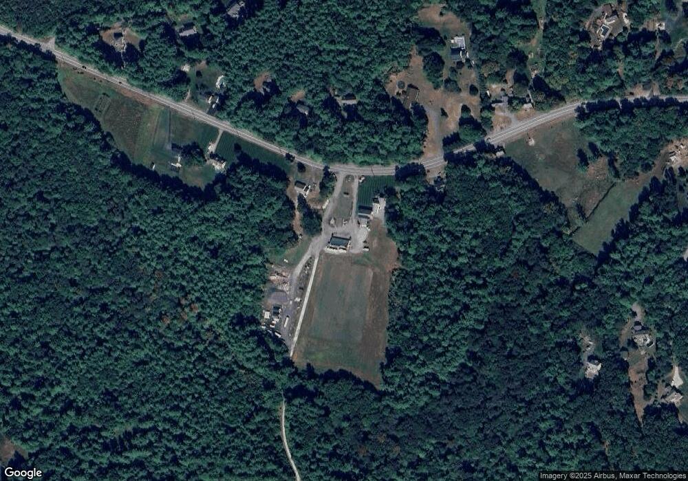
Map
Nearby Homes
- 319 Pleasant St
- 62 Brook St
- 235 Kemp St
- 153 Off Pond St
- 179 Wyman Rd
- 660 Old Dunstable Rd
- 11 Unkety Brook Way
- 12 Unkety Brook Way
- 208 North St
- 2 Wildflower Ln
- 0 Lowell St
- 0 Old Dunstable Rd
- 121 Cherrywood Dr
- 6 Testament Cir Unit 5
- 38 Tarbell St Unit 5B
- 38 Tarbell St Unit 1D
- 29 Tarbell St
- 114 Groton St
- 1 Doucet Ave
- 147 Nashua Rd
- 460 Pleasant St
- 436 Pleasant St
- 461 Pleasant St
- 443 Pleasant St
- 480 Pleasant St
- 433 Pleasant St
- 473 Pleasant St
- 500 Pleasant St
- 485 Pleasant St
- 423 Pleasant St
- 411 Pleasant St
- 411 Pleasant St Unit rear
- 314 Depot St
- 322 Depot St
- 5 Upton St
- 306 Depot St
- 493 Pleasant St
- 290 Depot St
- 9 Upton St
- 302 Depot St
Your Personal Tour Guide
Ask me questions while you tour the home.