446 R E Cards Hill Ln Amissville, VA 20106
Estimated Value: $656,000 - $685,470
5
Beds
4
Baths
2,044
Sq Ft
$326/Sq Ft
Est. Value
About This Home
This home is located at 446 R E Cards Hill Ln, Amissville, VA 20106 and is currently estimated at $666,118, approximately $325 per square foot. 446 R E Cards Hill Ln is a home located in Culpeper County with nearby schools including Emerald Hill Elementary School, Culpeper Middle School, and Culpeper County High School.
Ownership History
Date
Name
Owned For
Owner Type
Purchase Details
Closed on
May 12, 2022
Sold by
Ludwig Mantay
Bought by
Wenk Vicki L and Wenk Joseph A
Current Estimated Value
Purchase Details
Closed on
May 15, 2021
Sold by
Mantay Ludwig and Mantay Megan M
Bought by
Mantay Ludwig
Purchase Details
Closed on
Feb 9, 2017
Sold by
Bean Barbara S
Bought by
Mantay Ludwig and Mantay Megan M
Home Financials for this Owner
Home Financials are based on the most recent Mortgage that was taken out on this home.
Original Mortgage
$397,363
Interest Rate
4.32%
Mortgage Type
VA
Create a Home Valuation Report for This Property
The Home Valuation Report is an in-depth analysis detailing your home's value as well as a comparison with similar homes in the area
Home Values in the Area
Average Home Value in this Area
Purchase History
| Date | Buyer | Sale Price | Title Company |
|---|---|---|---|
| Wenk Vicki L | $549,000 | First American Title | |
| Mantay Ludwig | -- | None Available | |
| Mantay Ludwig | $389,000 | Stewart Title Guaranty Co |
Source: Public Records
Mortgage History
| Date | Status | Borrower | Loan Amount |
|---|---|---|---|
| Previous Owner | Mantay Ludwig | $397,363 |
Source: Public Records
Tax History Compared to Growth
Tax History
| Year | Tax Paid | Tax Assessment Tax Assessment Total Assessment is a certain percentage of the fair market value that is determined by local assessors to be the total taxable value of land and additions on the property. | Land | Improvement |
|---|---|---|---|---|
| 2025 | -- | $733,200 | $291,000 | $442,200 |
| 2024 | -- | $627,900 | $207,500 | $420,400 |
| 2023 | $0 | $627,900 | $207,500 | $420,400 |
| 2022 | $2,741 | $498,400 | $170,000 | $328,400 |
| 2021 | $0 | $498,400 | $170,000 | $328,400 |
| 2020 | $2,902 | $468,100 | $150,000 | $318,100 |
| 2019 | $2,902 | $468,100 | $150,000 | $318,100 |
| 2018 | $2,967 | $442,800 | $147,500 | $295,300 |
| 2017 | $2,967 | $442,800 | $147,500 | $295,300 |
| 2016 | $2,688 | $414,100 | $140,400 | $273,700 |
| 2015 | -- | $368,200 | $140,400 | $227,800 |
Source: Public Records
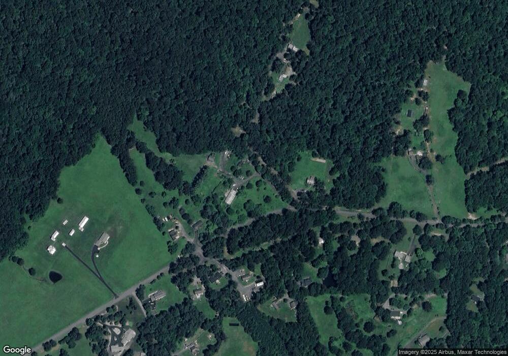
Map
Nearby Homes
- 8105 Willboyd Ct
- Harlow II Plan at Stonehaven - Executive Collection
- Innisbrook Plan at Stonehaven - Executive Collection
- Columbia Plan at Stonehaven - Executive Collection
- 20131 Stonehaven Ave
- Rt 688 (Leeds Manor NW Rt 688 NW
- 1468 Parker Place
- 2124 Berwick Dr
- 2114 Whithorn Hill
- 2110 Whithorn Hill
- 9467 Old Waterloo Rd
- 18438 Gleneagle Dr Unit MACARTHUR LOT 2318
- 17046 Lee Hwy
- 18442 Gleneagle Dr Unit AZALEA LOT 2319
- 17246 Pepperstock Ln
- 9172 Lee Hwy
- 2387 Burlington Dr
- LOT C Peaceful Place
- The Jefferson Plan at Bobak Farms
- The Somerset Plan at Bobak Farms
- 468 Joyful Harvest Ln
- 468 R E Cards Hill Ln
- 468 Cards Hill Ln
- 18097 Waterloo Rd
- 18025 Waterloo Rd
- 18020 Waterloo Rd
- 18005 Waterloo Rd
- 18091 Waterloo Rd
- 18094 Waterloo Rd
- 18016 Waterloo Rd
- 18048 Waterloo Rd
- 1029 Blarney Stone Ln
- 17531 Waterloo Rd
- 18159 Waterloo Rd
- 1075 Blarney Stone Ln
- 486 Shetley Rd
- 17540 Waterloo Rd
- 1022 Shetley Rd
- 1042 Shetley Rd
- 17520 Waterloo Rd