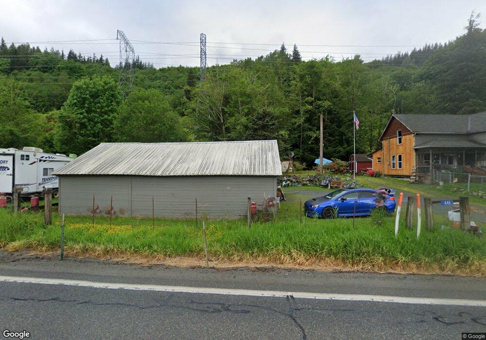
446 State Route 9 Sedro Woolley, WA 98284
Estimated Value: $485,000 - $708,000
4
Beds
2
Baths
1,756
Sq Ft
$324/Sq Ft
Est. Value
About This Home
This home is located at 446 State Route 9, Sedro Woolley, WA 98284 and is currently estimated at $569,493, approximately $324 per square foot. 446 State Route 9 is a home located in Skagit County with nearby schools including Sedro-Woolley Senior High School.
Ownership History
Date
Name
Owned For
Owner Type
Purchase Details
Closed on
Jan 20, 2017
Sold by
Middleton Paul and Middleton Rosanne A
Bought by
Middleton Jerry Earl and Clymer Middleton Chandra
Current Estimated Value
Home Financials for this Owner
Home Financials are based on the most recent Mortgage that was taken out on this home.
Original Mortgage
$210,478
Outstanding Balance
$174,337
Interest Rate
4.3%
Estimated Equity
$395,156
Purchase Details
Closed on
Oct 12, 2016
Sold by
Gagnon Carol A and Gagnon Robert
Bought by
Middleton Paul and Middleton Rosanne A
Create a Home Valuation Report for This Property
The Home Valuation Report is an in-depth analysis detailing your home's value as well as a comparison with similar homes in the area
Home Values in the Area
Average Home Value in this Area
Purchase History
| Date | Buyer | Sale Price | Title Company |
|---|---|---|---|
| Middleton Jerry Earl | $210,000 | None Available | |
| Middleton Paul | $198,610 | Wfg Natl Title Co Of Washing |
Source: Public Records
Mortgage History
| Date | Status | Borrower | Loan Amount |
|---|---|---|---|
| Open | Middleton Jerry Earl | $210,478 |
Source: Public Records
Tax History Compared to Growth
Tax History
| Year | Tax Paid | Tax Assessment Tax Assessment Total Assessment is a certain percentage of the fair market value that is determined by local assessors to be the total taxable value of land and additions on the property. | Land | Improvement |
|---|---|---|---|---|
| 2024 | $3,657 | $404,800 | $216,300 | $188,500 |
| 2023 | $3,657 | $386,300 | $198,700 | $187,600 |
| 2022 | $3,301 | $363,700 | $184,900 | $178,800 |
| 2021 | $2,958 | $290,900 | $141,300 | $149,600 |
| 2020 | $2,746 | $242,800 | $0 | $0 |
| 2019 | $2,517 | $232,200 | $0 | $0 |
| 2018 | $2,881 | $249,700 | $0 | $0 |
| 2017 | $2,341 | $221,300 | $0 | $0 |
| 2016 | $2,446 | $179,900 | $90,600 | $89,300 |
| 2015 | $1,891 | $134,900 | $44,800 | $89,300 |
| 2013 | $1,085 | $134,800 | $0 | $0 |
Source: Public Records
Map
Nearby Homes
- 5156 Wickersham Rd
- 5295 Wickersham Rd
- 5656 Doran Rd
- 23404 Prairie Rd
- 3838 S Bay Dr
- 954 Kings View Ln
- 104 Candice Ln
- 5046 Aerie Ln
- 19675 Silver Creek Dr
- 79 Alger Cain Lake Rd
- 4776 Prairie Ln
- 0 Cain Lake Rd Unit NWM2393392
- 2217 Butler Creek Rd
- 3058 Camp 2 Rd
- 19443 Oakleaf Ln
- 478 Fir Ln
- 519 Cain Lake Rd
- 439 Fir Ln
- 482 Hilltop Dr
- 3130 S Bay Vista Dr
- 505 State Route 9
- 591 State Route 9
- 509 State Route 9
- 574 State Route 9
- 245 Washington 9
- 241 State Route 9
- 787 State Route 9
- 760 Washington 9
- 43 State Route 9
- 26 State Route 9
- 1 Valley Hwy
- 12 Valley Hwy
- 120 Valley Hwy
- 13 Valley Hwy
- 115 Valley Hwy
- 267 Valley Hwy
- 930 Washington 9
- 5198 Np Rd
- 202 Valley Hwy
- 5190 Np Rd