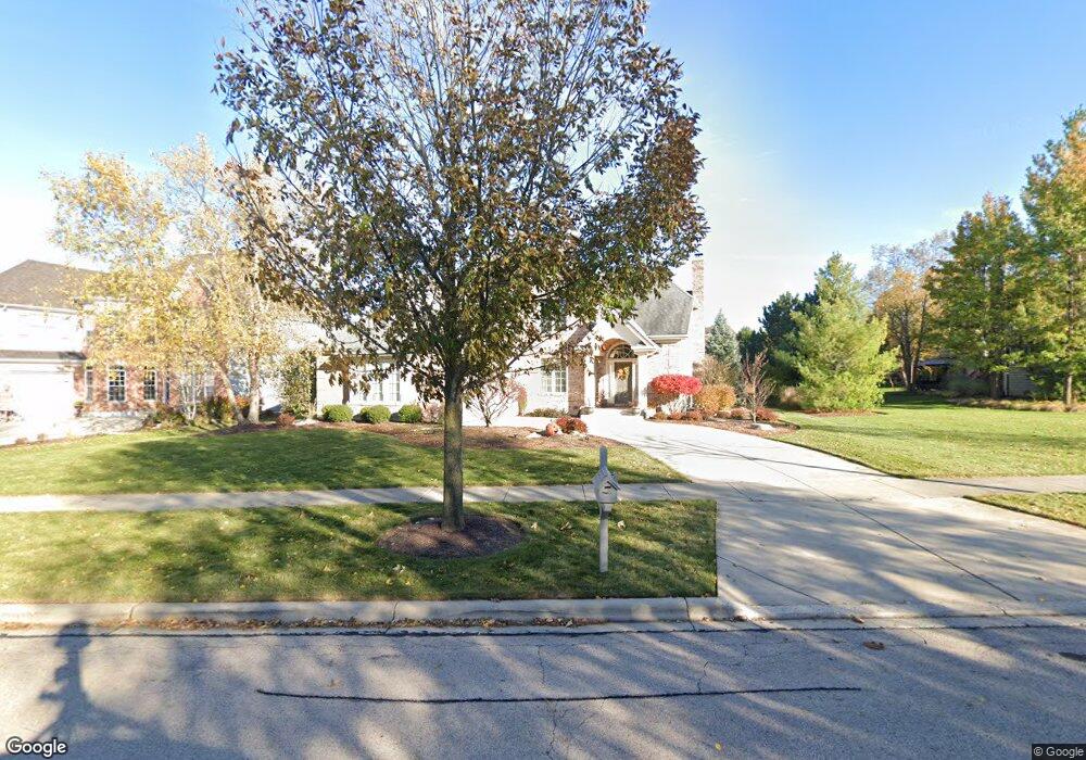
446 Trout Rd Batavia, IL 60510
Clover Hills NeighborhoodEstimated Value: $721,872 - $824,000
4
Beds
4
Baths
3,060
Sq Ft
$249/Sq Ft
Est. Value
About This Home
This home is located at 446 Trout Rd, Batavia, IL 60510 and is currently estimated at $762,968, approximately $249 per square foot. 446 Trout Rd is a home located in Kane County with nearby schools including Grace McWayne Elementary School, Sam Rotolo Middle School, and Batavia Sr High School.
Ownership History
Date
Name
Owned For
Owner Type
Purchase Details
Closed on
Sep 16, 2024
Sold by
Craig Steven R and Craig Steve R
Bought by
Elizabeth K Craig Living Trust and Craig
Current Estimated Value
Purchase Details
Closed on
Nov 21, 2003
Sold by
R Russell Builders Inc
Bought by
Craig Steven R and Craig Elizabeth K
Home Financials for this Owner
Home Financials are based on the most recent Mortgage that was taken out on this home.
Original Mortgage
$390,400
Interest Rate
6.01%
Mortgage Type
Purchase Money Mortgage
Create a Home Valuation Report for This Property
The Home Valuation Report is an in-depth analysis detailing your home's value as well as a comparison with similar homes in the area
Home Values in the Area
Average Home Value in this Area
Purchase History
| Date | Buyer | Sale Price | Title Company |
|---|---|---|---|
| Elizabeth K Craig Living Trust | -- | None Listed On Document | |
| Craig Steven R | $488,000 | Chicago Title Insurance Co |
Source: Public Records
Mortgage History
| Date | Status | Borrower | Loan Amount |
|---|---|---|---|
| Previous Owner | Craig Steven R | $390,400 |
Source: Public Records
Tax History
| Year | Tax Paid | Tax Assessment Tax Assessment Total Assessment is a certain percentage of the fair market value that is determined by local assessors to be the total taxable value of land and additions on the property. | Land | Improvement |
|---|---|---|---|---|
| 2024 | $14,614 | $196,021 | $53,266 | $142,755 |
| 2023 | $14,393 | $178,201 | $48,424 | $129,777 |
| 2022 | $13,726 | $165,583 | $44,995 | $120,588 |
| 2021 | $13,379 | $159,429 | $43,323 | $116,106 |
| 2020 | $13,121 | $156,996 | $42,662 | $114,334 |
| 2019 | $13,149 | $154,023 | $41,854 | $112,169 |
| 2018 | $13,134 | $154,023 | $41,854 | $112,169 |
| 2017 | $12,922 | $149,916 | $40,738 | $109,178 |
| 2016 | $12,793 | $147,889 | $40,187 | $107,702 |
| 2015 | -- | $140,606 | $38,208 | $102,398 |
| 2014 | -- | $140,606 | $38,208 | $102,398 |
| 2013 | -- | $151,785 | $38,208 | $113,577 |
Source: Public Records
Map
Nearby Homes
- 417 Freedlund Course
- 433 Freedlund Course
- 449 Freedlund Course
- 266 Branson Dr
- 234 Olmstead Ct
- 348 Branson Dr
- 103 Richter Rd
- 307 Mill St Unit 307A
- 1637 Haines Dr
- 2617 Barker Dr
- 744 Alberosky Way
- 2441 Bird Ln Unit 1
- 1S980 Deerpath Rd
- 1271 Herrington Rd
- 1320 Georgetown Dr Unit 322
- 884 Twin Elms Ln
- 116 Furnas Dr
- 113 Furnas Dr
- 137 Furnas Dr
- 218 Weirich Way Unit 88001
Your Personal Tour Guide
Ask me questions while you tour the home.