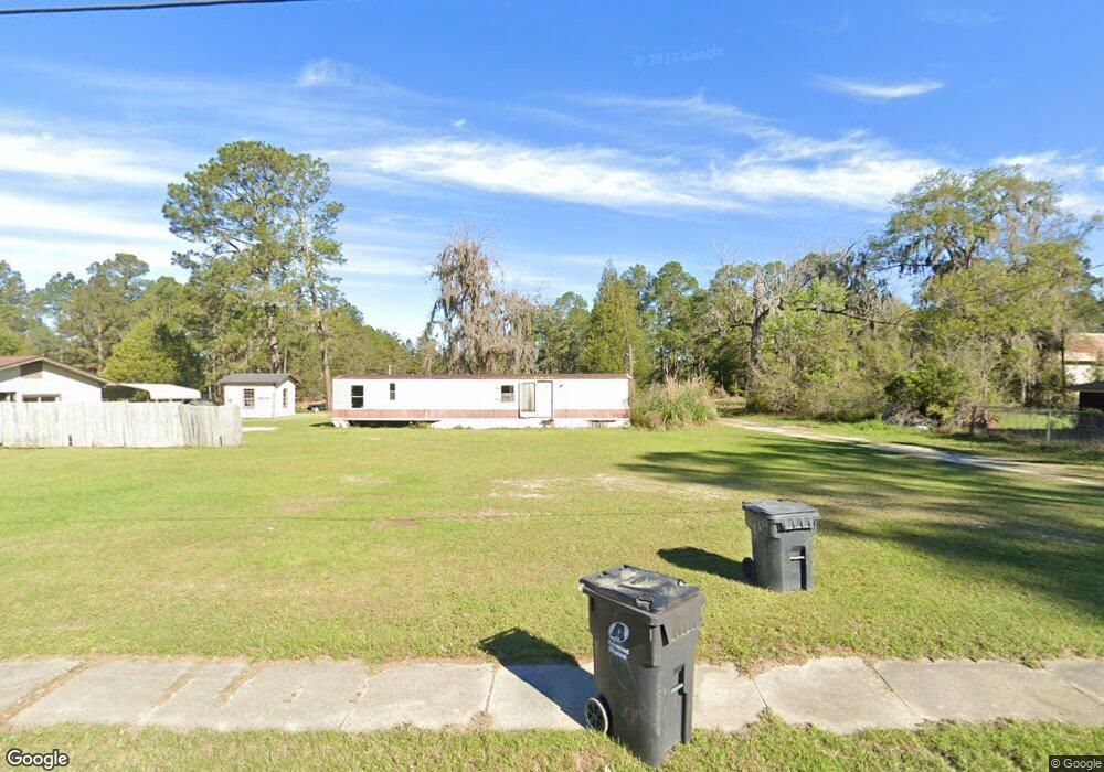
446 W Highway 84 Stockton, GA 31649
Estimated Value: $120,000 - $221,999
3
Beds
2
Baths
1,200
Sq Ft
$138/Sq Ft
Est. Value
About This Home
This home is located at 446 W Highway 84, Stockton, GA 31649 and is currently estimated at $166,000, approximately $138 per square foot. 446 W Highway 84 is a home with nearby schools including Lanier County Elementary School, Lanier County Middle School, and Lanier County High School.
Ownership History
Date
Name
Owned For
Owner Type
Purchase Details
Closed on
Jan 24, 2025
Sold by
Bowling John Franklin
Bought by
Bowling Travis Lee
Current Estimated Value
Home Financials for this Owner
Home Financials are based on the most recent Mortgage that was taken out on this home.
Original Mortgage
$129,067
Outstanding Balance
$116,179
Interest Rate
6.85%
Mortgage Type
New Conventional
Estimated Equity
$49,821
Purchase Details
Closed on
Mar 1, 2024
Sold by
Bowling John Franklin
Bought by
Ragan Callie Ochia
Purchase Details
Closed on
Jun 29, 2020
Sold by
Bowling Travis Lee
Bought by
Bowling John F
Home Financials for this Owner
Home Financials are based on the most recent Mortgage that was taken out on this home.
Original Mortgage
$119,258
Interest Rate
3.1%
Mortgage Type
New Conventional
Create a Home Valuation Report for This Property
The Home Valuation Report is an in-depth analysis detailing your home's value as well as a comparison with similar homes in the area
Home Values in the Area
Average Home Value in this Area
Purchase History
| Date | Buyer | Sale Price | Title Company |
|---|---|---|---|
| Bowling Travis Lee | $121,565 | -- | |
| Ragan Callie Ochia | $115,000 | -- | |
| Bowling John F | $117,409 | -- |
Source: Public Records
Mortgage History
| Date | Status | Borrower | Loan Amount |
|---|---|---|---|
| Open | Bowling Travis Lee | $129,067 | |
| Previous Owner | Bowling John F | $119,258 |
Source: Public Records
Tax History Compared to Growth
Tax History
| Year | Tax Paid | Tax Assessment Tax Assessment Total Assessment is a certain percentage of the fair market value that is determined by local assessors to be the total taxable value of land and additions on the property. | Land | Improvement |
|---|---|---|---|---|
| 2024 | $1,888 | $69,680 | $6,400 | $63,280 |
| 2023 | $1,299 | $40,920 | $4,000 | $36,920 |
| 2022 | $1,299 | $40,920 | $4,000 | $36,920 |
| 2021 | $1,327 | $40,920 | $4,000 | $36,920 |
| 2020 | $1,337 | $40,920 | $4,000 | $36,920 |
| 2019 | $1,337 | $40,920 | $4,000 | $36,920 |
Source: Public Records
Map
Nearby Homes
- TBD Church Rd
- TBA Us 129
- TBA S Highway 129
- 106 Quail Run
- LT 85 B River Trail
- 6069 Mullins Ln
- 6377 Lake Alapaha Blvd
- 6447 Lake Alapaha Blvd
- LT 95G River Trail
- 6441 Lake Alapaha Blvd
- 6429 Lake Alapaha Blvd
- 6422 Lake Alapaha Blvd
- 6423 Lake Alapaha Blvd
- 6345 Lake Alapaha Blvd
- 6416 Lake Alapaha Blvd
- Lot #6 Lake Alapaha Dr
- Lot 7 Lake Alapaha Dr
- Lot #8 Lake Alapaha Dr
- 5824 Live Oak Dr
- 6585 Good Hope Cir
- 440 W Highway 84
- 448 W Highway 84
- 450 U S 84
- 1563 S Highway 129
- 420 W Highway 84
- 449 W Highway 84
- 443 W Highway 84
- 1160 N Lakeshore Dr
- 414 W Highway 84
- 421 W Highway 84
- 473 E Highway 84
- 3947 Us Highway 129 N
- TBA Us Hwy 129 (3 Acres)
- Tract 2 S Highway 129
- 398 W Highway 84
- 54 Beauford Ln
- 28 Beauford Ln
- 384 W Highway 84
- 17 Withers Rd
- 21 Honey House Rd