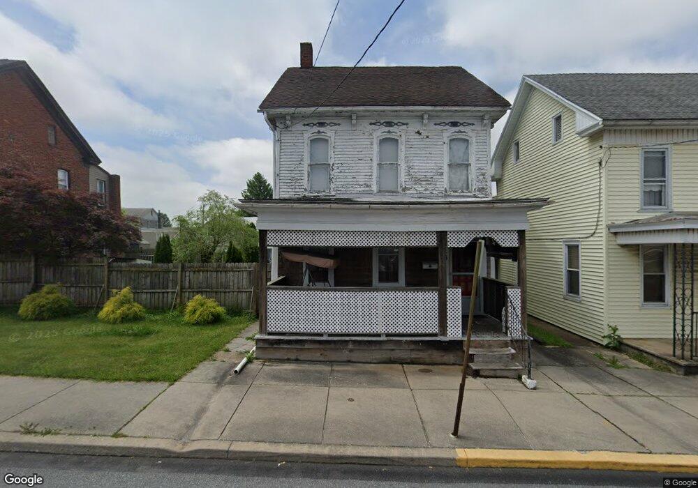
446 W Main St Dallastown, PA 17313
Estimated Value: $101,000 - $125,000
3
Beds
2
Baths
1,896
Sq Ft
$61/Sq Ft
Est. Value
About This Home
This home is located at 446 W Main St, Dallastown, PA 17313 and is currently estimated at $116,313, approximately $61 per square foot. 446 W Main St is a home located in York County with nearby schools including Dallastown Elementary School, Dallastown Area Middle School, and Dallastown Area High School.
Ownership History
Date
Name
Owned For
Owner Type
Purchase Details
Closed on
Jun 24, 2025
Sold by
Wendler Richard L
Bought by
Budget Rentals Llc
Current Estimated Value
Purchase Details
Closed on
Apr 4, 2006
Sold by
Weaver Cathy J
Bought by
Wendler Richard L
Home Financials for this Owner
Home Financials are based on the most recent Mortgage that was taken out on this home.
Original Mortgage
$90,000
Interest Rate
9.35%
Mortgage Type
Purchase Money Mortgage
Purchase Details
Closed on
Jul 9, 2004
Sold by
Weaver Jonathan E and Weaver Cathy J
Bought by
Weaver Cathy J
Home Financials for this Owner
Home Financials are based on the most recent Mortgage that was taken out on this home.
Original Mortgage
$90,000
Interest Rate
8.25%
Mortgage Type
New Conventional
Purchase Details
Closed on
May 26, 2000
Sold by
Patricio Odon S
Bought by
Weaver Jonathan E and Weaver Cathy J
Create a Home Valuation Report for This Property
The Home Valuation Report is an in-depth analysis detailing your home's value as well as a comparison with similar homes in the area
Home Values in the Area
Average Home Value in this Area
Purchase History
| Date | Buyer | Sale Price | Title Company |
|---|---|---|---|
| Budget Rentals Llc | $119,000 | None Listed On Document | |
| Budget Rentals Llc | $119,000 | None Listed On Document | |
| Wendler Richard L | $90,000 | None Available | |
| Weaver Cathy J | -- | -- | |
| Weaver Jonathan E | $80,263 | -- |
Source: Public Records
Mortgage History
| Date | Status | Borrower | Loan Amount |
|---|---|---|---|
| Previous Owner | Wendler Richard L | $90,000 | |
| Previous Owner | Weaver Cathy J | $90,000 |
Source: Public Records
Tax History Compared to Growth
Tax History
| Year | Tax Paid | Tax Assessment Tax Assessment Total Assessment is a certain percentage of the fair market value that is determined by local assessors to be the total taxable value of land and additions on the property. | Land | Improvement |
|---|---|---|---|---|
| 2025 | $2,932 | $84,400 | $22,060 | $62,340 |
| 2024 | $2,932 | $84,400 | $22,060 | $62,340 |
| 2023 | $2,932 | $84,400 | $22,060 | $62,340 |
| 2022 | $2,838 | $84,400 | $22,060 | $62,340 |
| 2021 | $2,676 | $84,400 | $22,060 | $62,340 |
| 2020 | $2,676 | $84,400 | $22,060 | $62,340 |
| 2019 | $2,668 | $84,400 | $22,060 | $62,340 |
| 2018 | $2,668 | $84,400 | $22,060 | $62,340 |
| 2017 | $2,564 | $84,400 | $22,060 | $62,340 |
| 2016 | $0 | $84,400 | $22,060 | $62,340 |
| 2015 | -- | $84,400 | $22,060 | $62,340 |
| 2014 | -- | $84,400 | $22,060 | $62,340 |
Source: Public Records
Map
Nearby Homes
- 428 W Main St
- 355 W Main St
- 732 Blossom Hill Ln
- 0 S Franklin St
- 2981 Sunset Dr
- 774 Blossom Hill Ln
- 106 Teila Dr
- 136 Teila Dr
- 424 Dartha Dr
- 435 Frederick Dr
- 0 Gary Dr
- 2933 Exeter Dr S
- 64 S Pleasant Ave
- 122 S Pleasant Ave
- 125 Verna Dr
- 680 Hampstead Ct
- 74 S Main St
- 2925 Starfire Dr
- 2960 Starfire Dr
- 56 E Frederick St