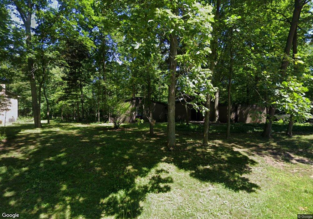
4460 Patrick Rd West Bloomfield, MI 48322
West Bloomfield Township NeighborhoodEstimated Value: $348,000 - $422,000
3
Beds
2
Baths
1,845
Sq Ft
$200/Sq Ft
Est. Value
About This Home
This home is located at 4460 Patrick Rd, West Bloomfield, MI 48322 and is currently estimated at $368,261, approximately $199 per square foot. 4460 Patrick Rd is a home located in Oakland County with nearby schools including Sheiko Elementary School, Brookfield Academy - West Bloomfield, and The Susan And Rabbi Harold Loss Ecc.
Ownership History
Date
Name
Owned For
Owner Type
Purchase Details
Closed on
May 1, 2020
Sold by
Skorupka Piotr A
Bought by
Skorupka Michal P
Current Estimated Value
Purchase Details
Closed on
Mar 11, 2013
Sold by
Skorupka Jolanta S
Bought by
Skorupka Piotr A
Home Financials for this Owner
Home Financials are based on the most recent Mortgage that was taken out on this home.
Original Mortgage
$160,000
Interest Rate
3.5%
Mortgage Type
New Conventional
Create a Home Valuation Report for This Property
The Home Valuation Report is an in-depth analysis detailing your home's value as well as a comparison with similar homes in the area
Home Values in the Area
Average Home Value in this Area
Purchase History
| Date | Buyer | Sale Price | Title Company |
|---|---|---|---|
| Skorupka Michal P | -- | None Available | |
| Skorupka Piotr A | -- | Sterling Title Agency |
Source: Public Records
Mortgage History
| Date | Status | Borrower | Loan Amount |
|---|---|---|---|
| Closed | Skorupka Piotr A | $160,000 |
Source: Public Records
Tax History
| Year | Tax Paid | Tax Assessment Tax Assessment Total Assessment is a certain percentage of the fair market value that is determined by local assessors to be the total taxable value of land and additions on the property. | Land | Improvement |
|---|---|---|---|---|
| 2025 | $4,699 | $182,930 | $47,010 | $135,920 |
| 2024 | $2,345 | $168,600 | $0 | $0 |
| 2022 | $2,245 | $144,950 | $40,880 | $104,070 |
| 2021 | $4,488 | $128,670 | $0 | $0 |
| 2020 | $2,200 | $131,610 | $40,880 | $90,730 |
| 2018 | $4,514 | $117,620 | $40,320 | $77,300 |
| 2015 | -- | $94,290 | $0 | $0 |
| 2014 | -- | $85,030 | $0 | $0 |
| 2011 | -- | $88,850 | $0 | $0 |
Source: Public Records
Map
Nearby Homes
- 5865 Dunmore Ct
- 4623 Patrick Rd
- 6076 Dunmore Dr
- 5956 Pinecroft Dr
- 5731 Farmington Rd
- 4819 Thorntree Dr
- 4817 Faircourt Dr
- 4205 Pinehurst Dr
- 5634 Stratford Dr
- 6322 Pepper Hill St Unit 62
- 6298 Aspen Ridge Blvd Unit 34
- 6323 Potomac Cir Unit 22
- 6151 Orchard Lake Rd Unit 103
- 5585 Culpepper Dr
- 5549 Perrytown Dr
- 3865 Stonecrest Rd
- 5226 Brett Ct
- 6610 Fieldstone Ct
- 6622 Fieldstone Ct
- 6651 Hearthside Ct Unit 1
- 4490 Patrick Rd
- 4430 Patrick Rd
- 4461 Patrick Rd Unit Bldg-Unit
- 4461 Patrick Rd
- 4489 Patrick Rd
- 5873 Dunmore Ct
- 4520 Patrick Rd
- 4424 Patrick Rd
- 5962 Trotter Ln
- 4429 Patrick Rd
- 5944 Trotter Ln
- 4521 Patrick Rd
- 5881 Dunmore Ct
- 4421 Patrick Rd
- 5857 Dunmore Ct
- 5926 Trotter Ln
- 5957 Dunmore Dr
- 4550 Patrick Rd
- 6063 Pickwood Dr
- 6057 Pickwood Dr
Your Personal Tour Guide
Ask me questions while you tour the home.