4466 Admirals Pointe Dr Lafayette, IN 47909
Estimated Value: $813,000 - $1,077,000
4
Beds
4
Baths
3,057
Sq Ft
$309/Sq Ft
Est. Value
About This Home
This home is located at 4466 Admirals Pointe Dr, Lafayette, IN 47909 and is currently estimated at $944,403, approximately $308 per square foot. 4466 Admirals Pointe Dr is a home with nearby schools including Mintonye Elementary School, Southwestern Middle School, and McCutcheon High School.
Ownership History
Date
Name
Owned For
Owner Type
Purchase Details
Closed on
Aug 26, 2021
Sold by
Gustus John and Gustus Martha
Bought by
Gustus Trust
Current Estimated Value
Purchase Details
Closed on
Feb 24, 2012
Sold by
Wilson Kurt E and Wilson Debra J
Bought by
Gustus John and Gustus Martha
Purchase Details
Closed on
Aug 27, 2003
Sold by
Hansen Sam and Elyan Bethany
Bought by
Wilson Kurt E and Wilson Debra J
Purchase Details
Closed on
Sep 13, 2001
Sold by
Suesro Inc
Bought by
Hasanin Osama S and Elyan Basima
Create a Home Valuation Report for This Property
The Home Valuation Report is an in-depth analysis detailing your home's value as well as a comparison with similar homes in the area
Home Values in the Area
Average Home Value in this Area
Purchase History
| Date | Buyer | Sale Price | Title Company |
|---|---|---|---|
| Gustus Trust | -- | None Available | |
| Gustus John | -- | None Available | |
| Wilson Kurt E | -- | -- | |
| Hasanin Osama S | -- | -- |
Source: Public Records
Tax History Compared to Growth
Tax History
| Year | Tax Paid | Tax Assessment Tax Assessment Total Assessment is a certain percentage of the fair market value that is determined by local assessors to be the total taxable value of land and additions on the property. | Land | Improvement |
|---|---|---|---|---|
| 2024 | $7,169 | $823,100 | $141,700 | $681,400 |
| 2023 | $6,662 | $772,400 | $141,700 | $630,700 |
| 2022 | $6,906 | $751,100 | $140,500 | $610,600 |
| 2021 | $5,898 | $624,200 | $140,500 | $483,700 |
| 2020 | $5,836 | $624,200 | $140,500 | $483,700 |
| 2019 | $5,701 | $609,700 | $140,500 | $469,200 |
| 2018 | $5,341 | $588,800 | $129,700 | $459,100 |
| 2017 | $5,065 | $564,900 | $109,300 | $455,600 |
| 2016 | $4,786 | $544,500 | $109,300 | $435,200 |
| 2014 | $1,526 | $95,000 | $95,000 | $0 |
| 2013 | $1,579 | $95,000 | $95,000 | $0 |
Source: Public Records
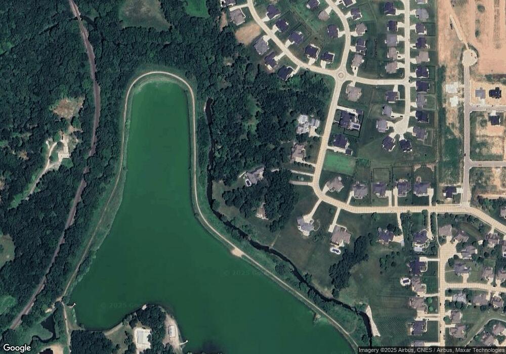
Map
Nearby Homes
- 1062 N Admirals Pointe Dr
- 4254-4268 Admirals Cove Dr
- 4336 Admirals Cove Dr
- 809 Ravenstone Dr
- 892 Ravenstone Dr
- 880 Drydock Dr
- 857 Ravenstone Dr
- 4654 Flagship Ln
- 825 Ravenstone Dr
- 775 N Admirals Pointe Dr
- 825 Drydock Dr
- 4545 S 175 W
- 0 W 500 S
- 4901 Chickadee Dr
- 4902 Osprey Ct
- 4108 Westwind Dr
- 214 Mccutcheon Dr
- 603 West St
- 122 Detchon Ct
- 5127 Old Us Highway 231 S
- 4454 Admirals Pointe Dr
- 4476 W Admirals Pointe Dr
- 4430 Admirals Pointe Dr
- 1126 N Admirals Pointe Dr
- 4447 W Admirals Pointe Dr
- 4423 W Admirals Pointe Dr
- 1133 N Admirals Pointe Dr
- 1092 N Admirals Pointe Dr
- 4415 Admirals Pointe Dr Unit 223
- 4397 Admirals Pointe Dr Unit 224
- 4323 Admirals Landing Dr Unit 227
- 1062 N Admirals Pointe Dr
- 1095 N Admirals Pointe Dr
- 4380 Admirals Pointe Dr Unit 226
- 4426 Admirals Cove Dr
- 4315 Admirals Landing Dr Unit 228
- 4329 Admirals Landing Dr
- 4418 Admirals Cove Dr
- 4379 Admirals Pointe Dr
- 4402 Admirals Cove Dr