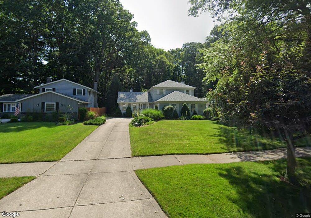
4467 Brendan Ln North Olmsted, OH 44070
Estimated Value: $340,000 - $355,000
3
Beds
3
Baths
2,021
Sq Ft
$171/Sq Ft
Est. Value
About This Home
This home is located at 4467 Brendan Ln, North Olmsted, OH 44070 and is currently estimated at $346,332, approximately $171 per square foot. 4467 Brendan Ln is a home located in Cuyahoga County with nearby schools including Maple Intermediate Elementary School, Pine Intermediate School, and North Olmsted Middle School.
Ownership History
Date
Name
Owned For
Owner Type
Purchase Details
Closed on
Oct 23, 1989
Sold by
Held James H
Bought by
Paulozzi Loren F
Current Estimated Value
Purchase Details
Closed on
Feb 21, 1989
Sold by
Slabaugh Barbara J
Bought by
Held James H
Purchase Details
Closed on
Jan 1, 1975
Bought by
Slabaugh Barbara J
Create a Home Valuation Report for This Property
The Home Valuation Report is an in-depth analysis detailing your home's value as well as a comparison with similar homes in the area
Home Values in the Area
Average Home Value in this Area
Purchase History
| Date | Buyer | Sale Price | Title Company |
|---|---|---|---|
| Paulozzi Loren F | $128,000 | -- | |
| Held James H | $24,000 | -- | |
| Slabaugh Barbara J | -- | -- |
Source: Public Records
Tax History Compared to Growth
Tax History
| Year | Tax Paid | Tax Assessment Tax Assessment Total Assessment is a certain percentage of the fair market value that is determined by local assessors to be the total taxable value of land and additions on the property. | Land | Improvement |
|---|---|---|---|---|
| 2024 | $6,501 | $104,650 | $15,925 | $88,725 |
| 2023 | $6,504 | $79,630 | $14,740 | $64,890 |
| 2022 | $6,469 | $79,630 | $14,740 | $64,890 |
| 2021 | $5,855 | $79,630 | $14,740 | $64,890 |
| 2020 | $5,372 | $64,720 | $11,970 | $52,750 |
| 2019 | $5,228 | $184,900 | $34,200 | $150,700 |
| 2018 | $5,180 | $64,720 | $11,970 | $52,750 |
| 2017 | $5,143 | $57,790 | $9,840 | $47,950 |
| 2016 | $5,098 | $57,790 | $9,840 | $47,950 |
| 2015 | $5,028 | $57,790 | $9,840 | $47,950 |
| 2014 | $5,028 | $56,670 | $9,630 | $47,040 |
Source: Public Records
Map
Nearby Homes
- 4590 Brendan Ln
- 4666 Brendan Cir
- 4505 Oak Cir
- 4849 Grace Rd Unit 121
- 22934 Mastick Rd Unit 102
- 22895 Mastick Rd
- 22537 Lenox Dr
- 22534 Bard Ave
- 0 Mastick Rd Unit 5112571
- 22247 Mastick Rd
- 22503 Sandy Ln
- 22506 Sharon Ln
- 4187 Columbia Rd Unit 126
- 23993 Fairlawn Dr
- 4514 Orchard Rd
- 24326 Mastick Rd
- 0 V L Clareshire Dr
- 24300 Mastick Rd
- 5951 Rockport Ln
- 3463 Clague Rd
- 4455 Brendan Ln
- 4481 Brendan Ln
- 4495 Brendan Ln
- 4441 Brendan Ln
- 4509 Brendan Ln
- 4427 Brendan Ln
- 4464 Brendan Ln
- 4478 Brendan Ln
- 4450 Brendan Ln
- 4492 Brendan Ln
- 4523 Brendan Ln
- 4436 Brendan Ln
- 4506 Brendan Ln
- 4411 Brendan Ln
- 4422 Brendan Ln
- 4537 Brendan Ln
- 4397 Brendan Ln
- 4408 Brendan Ln
- 4534 Brendan Ln
- 4453 Michael Ave