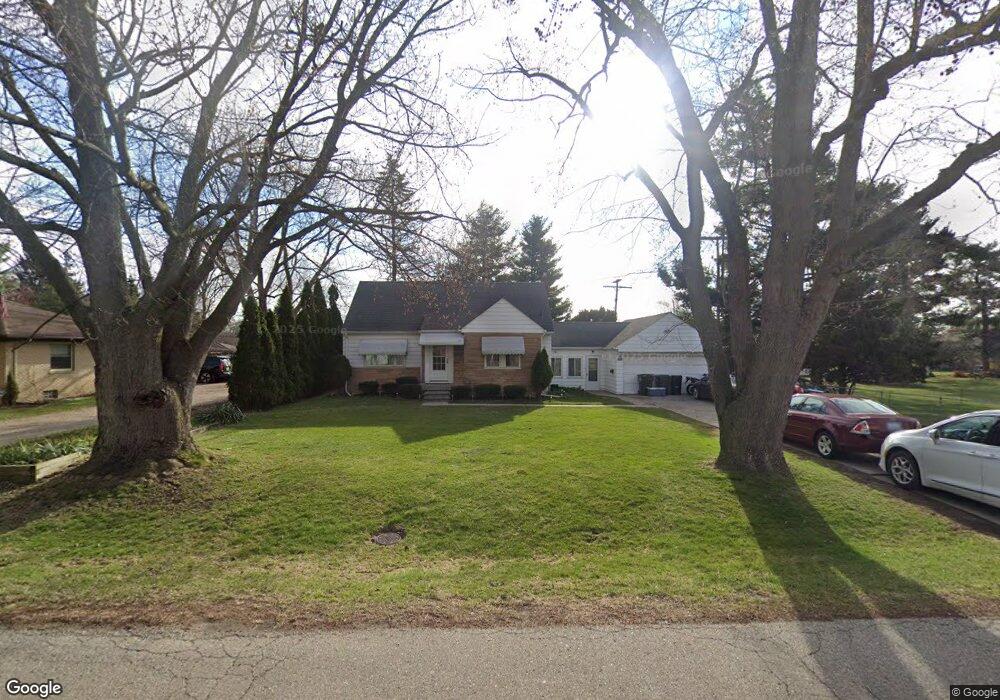
44670 Brockton Ave Sterling Heights, MI 48314
Estimated Value: $249,382 - $308,000
--
Bed
--
Bath
1,478
Sq Ft
$189/Sq Ft
Est. Value
About This Home
This home is located at 44670 Brockton Ave, Sterling Heights, MI 48314 and is currently estimated at $279,346, approximately $189 per square foot. 44670 Brockton Ave is a home located in Macomb County with nearby schools including Dresden Elementary School, Bemis Junior High School, and Henry Ford II High School.
Ownership History
Date
Name
Owned For
Owner Type
Purchase Details
Closed on
Nov 3, 2021
Sold by
Adams Ann L
Bought by
Adams Ann L and Stamat Beth A
Current Estimated Value
Purchase Details
Closed on
Oct 2, 2020
Sold by
Starr Pamela J
Bought by
Adams Ann L
Purchase Details
Closed on
Oct 12, 2006
Sold by
Force George W and Force Betty Jane
Bought by
Force George W and Force Betty Jane
Create a Home Valuation Report for This Property
The Home Valuation Report is an in-depth analysis detailing your home's value as well as a comparison with similar homes in the area
Home Values in the Area
Average Home Value in this Area
Purchase History
| Date | Buyer | Sale Price | Title Company |
|---|---|---|---|
| Adams Ann L | -- | None Available | |
| Adams Ann L | -- | None Available | |
| Adams Ann L | -- | None Listed On Document | |
| Force George W | -- | None Available |
Source: Public Records
Tax History Compared to Growth
Tax History
| Year | Tax Paid | Tax Assessment Tax Assessment Total Assessment is a certain percentage of the fair market value that is determined by local assessors to be the total taxable value of land and additions on the property. | Land | Improvement |
|---|---|---|---|---|
| 2025 | $2,484 | $124,900 | $0 | $0 |
| 2024 | $2,271 | $117,800 | $0 | $0 |
| 2023 | $2,071 | $104,100 | $0 | $0 |
| 2022 | $2,159 | $91,100 | $0 | $0 |
| 2021 | $3,052 | $88,600 | $0 | $0 |
| 2020 | $1,886 | $80,300 | $0 | $0 |
| 2019 | $1,932 | $71,900 | $0 | $0 |
| 2018 | $1,956 | $63,000 | $0 | $0 |
| 2017 | $1,867 | $60,200 | $16,900 | $43,300 |
| 2016 | $1,804 | $60,200 | $0 | $0 |
| 2015 | -- | $55,000 | $0 | $0 |
| 2014 | -- | $48,800 | $0 | $0 |
Source: Public Records
Map
Nearby Homes
- 44880 Brockton Ave
- 11214 Canal Rd
- 8235 Mackay Ct
- 45089 Klingkammer St Unit 10
- 8245 Canal Rd
- 8628 Strom Dr
- 44395 Patricia Dr Unit 90
- 8238 Clinton River Rd
- 44361 Mathison Dr
- 44312 Patricia Dr Unit 2
- 8958 Shannon Dr
- 7828 Greeley St
- 45210 Keding St Unit 101
- 45200 Keding St Unit 101
- 45449 Sterritt St
- 45467 Sterritt St
- 45280 Cass Ave
- 7474 River Vista St
- 7553 Nichols St
- 45520 Deshon St
- 44724 Brockton Ave
- 11011 Canal Rd
- 44665 Morang Dr
- 44717 Morang Dr
- 44643 Morang Dr
- 44671 Brockton Ave
- 8863 Canal Rd
- 11035 Canal Rd
- 44739 Morang Dr
- 44725 Brockton Ave
- 8847 Canal Rd
- 44750 Brockton Ave
- 44757 Morang Dr
- 11047 Canal Rd
- 44749 Brockton Ave
- 8831 Canal Rd
- 44774 Brockton Ave
- 44700 Duffield Ave
- 44724 Duffield Ave
- 44740 Duffield Ave