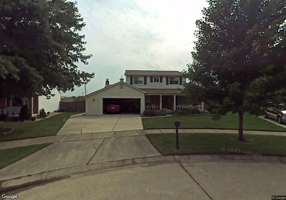
44687 Westminister Way Unit Bldg-Unit Canton, MI 48187
Estimated Value: $397,000 - $405,000
--
Bed
3
Baths
1,801
Sq Ft
$222/Sq Ft
Est. Value
About This Home
This home is located at 44687 Westminister Way Unit Bldg-Unit, Canton, MI 48187 and is currently estimated at $400,312, approximately $222 per square foot. 44687 Westminister Way Unit Bldg-Unit is a home located in Wayne County with nearby schools including Canton High School, Discovery Middle School, and Salem High School.
Ownership History
Date
Name
Owned For
Owner Type
Purchase Details
Closed on
Jul 13, 2021
Sold by
Tauscher Andrew
Bought by
Tauscher Andrew and Tauscher Debrah A
Current Estimated Value
Home Financials for this Owner
Home Financials are based on the most recent Mortgage that was taken out on this home.
Original Mortgage
$265,550
Outstanding Balance
$241,166
Interest Rate
2.96%
Mortgage Type
New Conventional
Estimated Equity
$159,146
Purchase Details
Closed on
Jul 26, 2018
Sold by
Kacic Ronald R
Bought by
Tauscher Andrew
Create a Home Valuation Report for This Property
The Home Valuation Report is an in-depth analysis detailing your home's value as well as a comparison with similar homes in the area
Home Values in the Area
Average Home Value in this Area
Purchase History
| Date | Buyer | Sale Price | Title Company |
|---|---|---|---|
| Tauscher Andrew | -- | Silk Abstract Company | |
| Tauscher Andrew | -- | None Listed On Document | |
| Tauscher Andrew | $282,500 | Devon Title Agency |
Source: Public Records
Mortgage History
| Date | Status | Borrower | Loan Amount |
|---|---|---|---|
| Open | Tauscher Andrew | $265,550 | |
| Closed | Tauscher Andrew | $265,550 |
Source: Public Records
Tax History Compared to Growth
Tax History
| Year | Tax Paid | Tax Assessment Tax Assessment Total Assessment is a certain percentage of the fair market value that is determined by local assessors to be the total taxable value of land and additions on the property. | Land | Improvement |
|---|---|---|---|---|
| 2025 | $2,582 | $185,300 | $0 | $0 |
| 2024 | $2,582 | $175,800 | $0 | $0 |
| 2023 | $2,462 | $150,200 | $0 | $0 |
| 2022 | $2,345 | $139,000 | $0 | $0 |
| 2021 | $5,277 | $135,200 | $0 | $0 |
| 2020 | $5,202 | $127,600 | $0 | $0 |
| 2019 | $5,108 | $121,650 | $0 | $0 |
| 2018 | $1,632 | $111,250 | $0 | $0 |
| 2017 | $4,227 | $109,900 | $0 | $0 |
| 2016 | $3,694 | $106,000 | $0 | $0 |
| 2015 | $8,968 | $96,120 | $0 | $0 |
| 2013 | $8,688 | $92,340 | $0 | $0 |
| 2010 | -- | $91,980 | $56,351 | $35,629 |
Source: Public Records
Map
Nearby Homes
- 44585 Nantucket Dr
- 6171 Gloucester Dr
- 50782 Ross St
- 48590 Ford Rd
- 44661 Jeffrey Cir
- 0000 Ford
- 44497 Savery Dr Unit 103
- 45139 Indian Creek Dr
- 44018 Bannockburn Dr
- 6750 N Canton Center Rd
- 6832 New Providence Way Unit 1007
- 847 Coldrose Way
- 835 Coldrose Way
- 43737 Westminister Way
- 1710 Longfellow Dr
- 43706 Westminister Way
- 6972 Harvard Ln
- 6986 Harvard Ln Unit 129
- 45228 Patrick Dr
- 44995 Quaker Hill Dr
- 44687 Westminister Way
- 6005 Porteridge Ln
- 6017 Porteridge Ln
- 44661 Westminister Way
- 44649 Westminister Way
- 44899 Fox Pointe Dr
- 44900 Fox Pointe Dr Unit 15
- 44666 Westminister Way
- 6043 Porteridge Ln
- 44635 Westminister Way
- 6032 Porteridge Ln
- 44913 Fox Pointe Dr
- 44644 Westminister Way
- 44623 Westminister Way
- 44914 Fox Pointe Dr
- 6056 Porteridge Ln
- 44628 Westminister Way Unit Bldg-Unit
- 44628 Westminister Way
- 44927 Fox Pointe Dr
- 44651 Nantucket Dr