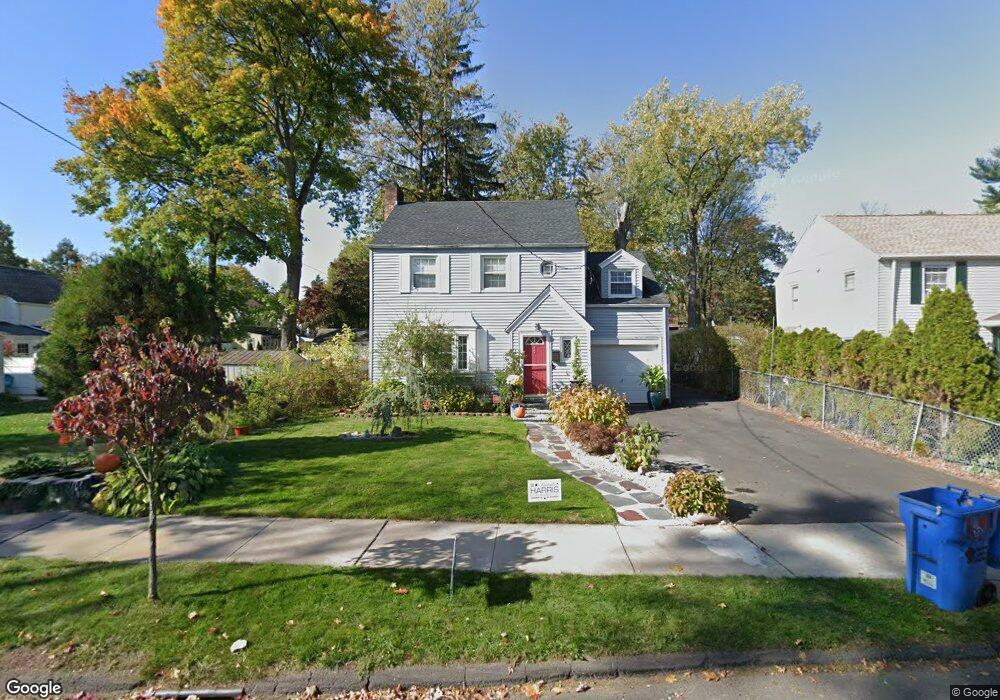
447 Cornwall St Hartford, CT 06112
Blue Hills NeighborhoodEstimated Value: $279,517 - $294,000
3
Beds
2
Baths
1,574
Sq Ft
$182/Sq Ft
Est. Value
About This Home
This home is located at 447 Cornwall St, Hartford, CT 06112 and is currently estimated at $287,129, approximately $182 per square foot. 447 Cornwall St is a home located in Hartford County with nearby schools including Rawson School, Breakthrough Magnet School - North Campus, and West Middle School.
Ownership History
Date
Name
Owned For
Owner Type
Purchase Details
Closed on
Feb 3, 2023
Sold by
Pramuka Michael
Bought by
Pramuka Michelle and Pramuka Kenneth
Current Estimated Value
Purchase Details
Closed on
Jul 20, 2001
Sold by
Blackwell Barbara
Bought by
Muhammad Wadell and Muhammad Tonya
Create a Home Valuation Report for This Property
The Home Valuation Report is an in-depth analysis detailing your home's value as well as a comparison with similar homes in the area
Home Values in the Area
Average Home Value in this Area
Purchase History
| Date | Buyer | Sale Price | Title Company |
|---|---|---|---|
| Pramuka Michelle | -- | None Available | |
| Muhammad Wadell | $95,000 | -- |
Source: Public Records
Mortgage History
| Date | Status | Borrower | Loan Amount |
|---|---|---|---|
| Previous Owner | Muhammad Wadell | $32,876 | |
| Previous Owner | Muhammad Wadell | $127,064 | |
| Previous Owner | Muhammad Wadell | $500,000 | |
| Previous Owner | Muhammad Wadell | $123,750 |
Source: Public Records
Tax History
| Year | Tax Paid | Tax Assessment Tax Assessment Total Assessment is a certain percentage of the fair market value that is determined by local assessors to be the total taxable value of land and additions on the property. | Land | Improvement |
|---|---|---|---|---|
| 2025 | $4,300 | $62,365 | $6,358 | $56,007 |
| 2024 | $4,300 | $62,365 | $6,358 | $56,007 |
| 2023 | $4,300 | $62,365 | $6,358 | $56,007 |
| 2022 | $4,300 | $62,365 | $6,358 | $56,007 |
| 2021 | $3,328 | $44,800 | $7,525 | $37,275 |
| 2020 | $3,328 | $44,800 | $7,525 | $37,275 |
| 2019 | $3,328 | $44,800 | $7,525 | $37,275 |
| 2018 | $3,216 | $43,290 | $7,272 | $36,018 |
| 2016 | $3,132 | $42,163 | $6,925 | $35,238 |
| 2015 | $2,983 | $40,160 | $6,596 | $33,564 |
| 2014 | $2,911 | $39,178 | $6,435 | $32,743 |
Source: Public Records
Map
Nearby Homes
- 90 Manchester St
- 200 Hartland St
- 11-13 Pershing St
- 26-28 Baltic St
- 110 Darby St
- 18 Darby St
- 180 Brookline Ave
- 171 N Canaan St
- 747 Blue Hills Ave
- 97 Boothbay St
- 97 E Burnham St
- 83-85 Colebrook St
- 216 Cornwall St
- 51 Pembroke St
- 382 Vine St
- 39 Burlington St
- 25 Cornwall St
- 275 Westland St
- 57 Love Ln
- 300 Vine St Unit 302
- 451 Cornwall St
- 78 Litchfield St
- 86 Litchfield St
- 455 Cornwall St
- 82 Litchfield St
- 439 Cornwall St
- 459 Cornwall St
- 66 Litchfield St
- 450 Cornwall St
- 94 Litchfield St
- 454 Cornwall St
- 463 Cornwall St
- 62 Litchfield St
- 458 Cornwall St
- 462 Cornwall St
- 116 Hartland St
- 71 Litchfield St Unit 73
- 81 Litchfield St
- 58 Litchfield St
- 120 Hartland St
Your Personal Tour Guide
Ask me questions while you tour the home.