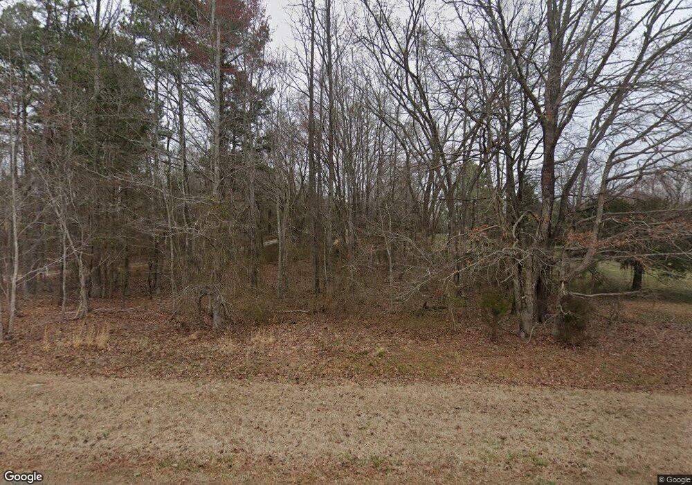
447 Cousins Rd Rougemont, NC 27572
Estimated Value: $189,000 - $260,000
2
Beds
1
Bath
1,325
Sq Ft
$178/Sq Ft
Est. Value
About This Home
This home is located at 447 Cousins Rd, Rougemont, NC 27572 and is currently estimated at $235,434, approximately $177 per square foot. 447 Cousins Rd is a home located in Person County with nearby schools including Person High School.
Ownership History
Date
Name
Owned For
Owner Type
Purchase Details
Closed on
Jul 15, 2019
Sold by
Parham Michael W and Parham Patricia P
Bought by
Power Perry Lorna M and Power Perry Francis
Current Estimated Value
Home Financials for this Owner
Home Financials are based on the most recent Mortgage that was taken out on this home.
Original Mortgage
$121,600
Outstanding Balance
$106,532
Interest Rate
3.82%
Mortgage Type
New Conventional
Estimated Equity
$128,902
Purchase Details
Closed on
Jun 21, 2018
Sold by
Stanfield Jean C and Cunningham Jean E
Bought by
Parham Michael W and Parham Patricia P
Create a Home Valuation Report for This Property
The Home Valuation Report is an in-depth analysis detailing your home's value as well as a comparison with similar homes in the area
Home Values in the Area
Average Home Value in this Area
Purchase History
| Date | Buyer | Sale Price | Title Company |
|---|---|---|---|
| Power Perry Lorna M | $128,000 | None Available | |
| Parham Michael W | $37,000 | None Available |
Source: Public Records
Mortgage History
| Date | Status | Borrower | Loan Amount |
|---|---|---|---|
| Open | Power Perry Lorna M | $121,600 |
Source: Public Records
Tax History Compared to Growth
Tax History
| Year | Tax Paid | Tax Assessment Tax Assessment Total Assessment is a certain percentage of the fair market value that is determined by local assessors to be the total taxable value of land and additions on the property. | Land | Improvement |
|---|---|---|---|---|
| 2025 | $1,172 | $174,077 | $0 | $0 |
| 2024 | $918 | $118,088 | $0 | $0 |
| 2023 | $918 | $118,088 | $0 | $0 |
| 2022 | $915 | $118,088 | $0 | $0 |
| 2021 | $889 | $118,088 | $0 | $0 |
| 2020 | $663 | $87,858 | $0 | $0 |
| 2019 | $672 | $87,858 | $0 | $0 |
| 2018 | $578 | $80,547 | $0 | $0 |
| 2017 | $288 | $80,547 | $0 | $0 |
| 2016 | $288 | $80,547 | $0 | $0 |
| 2015 | $288 | $80,547 | $0 | $0 |
| 2014 | $288 | $80,547 | $0 | $0 |
Source: Public Records
Map
Nearby Homes
- 0 Owens Daye Rd
- Lot 6 & 7 Hunters Cir
- 0 Thunder Rd Unit 10078281
- 5021 Clayton Rd
- 7810 Helena Moriah Rd
- 316 Acorn Ct
- 1176 Stoney Mountain Rd
- 279 Weaver Ridge Rd
- 127 Cobble Brook Dr
- 000 Weaver Ridge Rd
- 00 Mann Oakley Rd
- 153 Ninovan Place
- 162 Sabins Estates Dr
- 1150 Rougemont Rd
- Lot 2 Uzzle Rd
- Lot 3 Uzzle Rd
- 18.2 Acres Range Rd
- 576 Duncan Rd
- 195 Falcon Ln
- 129 Family Dr
- 447 Cousin Rd
- 391 Cousin Rd
- 387 Cousin Rd
- 319 Cousins Rd
- 319 Cousin Rd
- 2a Cousin Rd
- 0 Cousin Rd Unit 2437697
- 0.97 acre Cousin Rd
- 0 Cousin Rd Unit 2297867
- 16 Johnell Daye Dr
- 225 Cousin Rd
- 215 Cousin Rd
- 205 Cousins Rd
- 4243 Mount Harmony Church Rd
- 205 Cousin Rd
- 4595 Mount Harmony Church Rd
- 101 Cousin Rd
- 4161 Mount Harmony Church Rd
- 4250 Mount Harmony Church Rd
- 4312 Mount Harmony Church Rd
