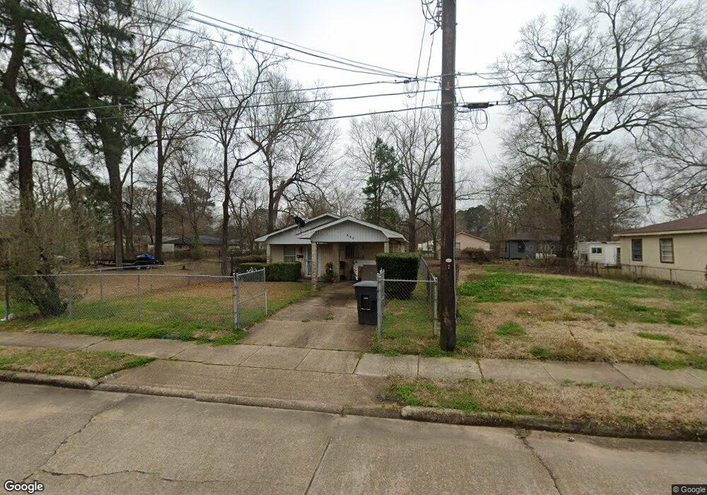
447 E 81st St Shreveport, LA 71106
Cedar Grove/Lynbrook NeighborhoodEstimated Value: $32,000 - $66,000
2
Beds
1
Bath
869
Sq Ft
$54/Sq Ft
Est. Value
About This Home
This home is located at 447 E 81st St, Shreveport, LA 71106 and is currently estimated at $46,788, approximately $53 per square foot. 447 E 81st St is a home located in Caddo Parish with nearby schools including Fairfield Magnet School, Forest Hill Elementary School, and Judson Fundamental Elementary School.
Ownership History
Date
Name
Owned For
Owner Type
Purchase Details
Closed on
Jul 8, 2025
Sold by
Parish Of Caddo
Bought by
Parish Of Caddo
Current Estimated Value
Purchase Details
Closed on
Feb 11, 2016
Sold by
Pratt Lamar
Bought by
Small Kiya Deshala
Purchase Details
Closed on
Nov 15, 2008
Sold by
Small Dorothy Mae Mitchell and Small Walter
Bought by
Lamar Pratt
Purchase Details
Closed on
Jun 8, 2007
Sold by
Zydeco S Llc
Bought by
Atac Llc
Purchase Details
Closed on
Jun 2, 2006
Sold by
Small Dorothy Mae Mitchell and Stevenson Brenda Faye Small
Bought by
Zydeco 5 Llc
Create a Home Valuation Report for This Property
The Home Valuation Report is an in-depth analysis detailing your home's value as well as a comparison with similar homes in the area
Home Values in the Area
Average Home Value in this Area
Purchase History
| Date | Buyer | Sale Price | Title Company |
|---|---|---|---|
| Parish Of Caddo | $676 | None Listed On Document | |
| Small Kiya Deshala | $20,000 | None Available | |
| Lamar Pratt | $6,000 | None Available | |
| Atac Llc | $381 | None Available | |
| Zydeco 5 Llc | $407 | None Available |
Source: Public Records
Tax History Compared to Growth
Tax History
| Year | Tax Paid | Tax Assessment Tax Assessment Total Assessment is a certain percentage of the fair market value that is determined by local assessors to be the total taxable value of land and additions on the property. | Land | Improvement |
|---|---|---|---|---|
| 2024 | $348 | $2,232 | $365 | $1,867 |
| 2023 | $353 | $2,215 | $348 | $1,867 |
| 2022 | $353 | $2,215 | $348 | $1,867 |
| 2021 | $348 | $2,215 | $348 | $1,867 |
| 2020 | $348 | $2,215 | $348 | $1,867 |
| 2019 | $380 | $2,347 | $348 | $1,999 |
| 2018 | $0 | $2,347 | $348 | $1,999 |
| 2017 | $386 | $2,347 | $348 | $1,999 |
| 2015 | $336 | $2,590 | $350 | $2,240 |
| 2014 | $338 | $2,590 | $350 | $2,240 |
| 2013 | -- | $2,590 | $350 | $2,240 |
Source: Public Records
Map
Nearby Homes
- 126 N Greenbrook Loop
- 72 Spring Lake Way
- 638 Ashbourne Dr
- 531 E 73rd St
- 109 W 85th St
- 618 Balmoral Dr
- 725 Rainbow Dr
- 740 Rainbow Dr
- 247 E 72nd St
- 7205 Southern Ave
- 356 W 77th St
- 565 Spring Lake Dr
- 569 Spring Lake Dr
- 636 E 70th St
- 0 Palestine St Unit 20985909
- 552 N Marlborough Cir
- 530 Spring Lake Dr
- 7070 Creswell Rd
- 6835 Bethany St
- 7040 Creswell Rd